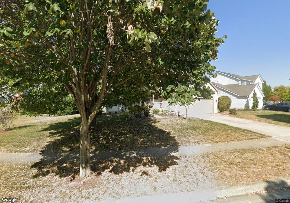
6333 Rossmore Ln Canal Winchester, OH 43110
Estimated Value: $419,000 - $437,000
4
Beds
3
Baths
2,625
Sq Ft
$163/Sq Ft
Est. Value
About This Home
This home is located at 6333 Rossmore Ln, Canal Winchester, OH 43110 and is currently estimated at $428,574, approximately $163 per square foot. 6333 Rossmore Ln is a home located in Franklin County with nearby schools including Winchester Trail Elementary School, Indian Trail Elementary School, and Canal Winchester Middle School.
Ownership History
Date
Name
Owned For
Owner Type
Purchase Details
Closed on
Sep 5, 2000
Sold by
Homewood Corp
Bought by
Wetmore Joseph A and Wetmore Kathryn A
Current Estimated Value
Home Financials for this Owner
Home Financials are based on the most recent Mortgage that was taken out on this home.
Original Mortgage
$137,538
Interest Rate
8.05%
Create a Home Valuation Report for This Property
The Home Valuation Report is an in-depth analysis detailing your home's value as well as a comparison with similar homes in the area
Home Values in the Area
Average Home Value in this Area
Purchase History
| Date | Buyer | Sale Price | Title Company |
|---|---|---|---|
| Wetmore Joseph A | $187,600 | Preferred Title Agency Inc |
Source: Public Records
Mortgage History
| Date | Status | Borrower | Loan Amount |
|---|---|---|---|
| Previous Owner | Wetmore Joseph A | $137,538 |
Source: Public Records
Tax History Compared to Growth
Tax History
| Year | Tax Paid | Tax Assessment Tax Assessment Total Assessment is a certain percentage of the fair market value that is determined by local assessors to be the total taxable value of land and additions on the property. | Land | Improvement |
|---|---|---|---|---|
| 2024 | $5,912 | $115,850 | $34,510 | $81,340 |
| 2023 | $5,913 | $115,850 | $34,510 | $81,340 |
| 2022 | $4,866 | $82,780 | $12,600 | $70,180 |
| 2021 | $4,917 | $82,780 | $12,600 | $70,180 |
| 2020 | $4,906 | $82,780 | $12,600 | $70,180 |
| 2019 | $4,726 | $69,650 | $10,500 | $59,150 |
| 2018 | $4,484 | $69,650 | $10,500 | $59,150 |
| 2017 | $4,483 | $69,650 | $10,500 | $59,150 |
| 2016 | $4,327 | $61,330 | $10,260 | $51,070 |
| 2015 | $4,339 | $61,330 | $10,260 | $51,070 |
| 2014 | $4,061 | $61,330 | $10,260 | $51,070 |
| 2013 | $2,129 | $64,540 | $10,780 | $53,760 |
Source: Public Records
Map
Nearby Homes
- 6430 Rossmore Ln
- 6185 Dietz Dr
- 6469 Tallman Ct
- 6571 Hemmingford Dr
- 6558 Hemmingford Dr
- 6216 Meriden Ct
- 7250 Old Creek Ln
- 6535 Hemmingford Dr
- 7191 Rosemount Way
- 525 Gender Rd
- 0 Groveport Rd
- 7362 Bromfield Dr
- 7265 Bromfield Dr
- 7288 Bromfield Dr
- 963 Groveport Rd
- 7412 Connor Ct
- 6910 Canal St
- 180 Woodsview Dr
- 6065 Wilson Dr
- 185 Groveport Pike Unit 11A
- 6337 Rossmore Ln
- 6329 Rossmore Ln
- 6329 Rossmore Ln Unit 300
- 6991 Pearce Ln
- 6341 Rossmore Ln
- 6312 Rossmore Ln
- 6308 Rossmore Ln
- 6316 Rossmore Ln
- 6987 Pearce Ln
- 6324 Rossmore Ln
- 7002 Pearce Ln
- 6320 Rossmore Ln
- 6328 Rossmore Ln
- 7010 Pearce Ln
- 6982 Pearce Ln
- 6332 Rossmore Ln
- 6349 Rossmore Ln
- 6363 Rossmore Ln
- 6308 Dietz Dr
- 6318 Dietz Dr