6333 W Chief Dr Willcox, AZ 85643
Estimated Value: $155,951 - $383,000
Studio
--
Bath
840
Sq Ft
$346/Sq Ft
Est. Value
About This Home
This home is located at 6333 W Chief Dr, Willcox, AZ 85643 and is currently estimated at $290,984, approximately $346 per square foot. 6333 W Chief Dr is a home located in Cochise County with nearby schools including Willcox Elementary School, Willcox Middle School, and Willcox High School.
Ownership History
Date
Name
Owned For
Owner Type
Purchase Details
Closed on
Jun 14, 2016
Sold by
Housley O B and Housley Houlsey O
Bought by
Housley Orvid B
Current Estimated Value
Home Financials for this Owner
Home Financials are based on the most recent Mortgage that was taken out on this home.
Original Mortgage
$52,000
Interest Rate
3.61%
Mortgage Type
New Conventional
Purchase Details
Closed on
Jun 14, 2005
Sold by
Housley O B and Housley Marie Louise
Bought by
Housley O B
Home Financials for this Owner
Home Financials are based on the most recent Mortgage that was taken out on this home.
Original Mortgage
$63,750
Interest Rate
5.65%
Mortgage Type
New Conventional
Create a Home Valuation Report for This Property
The Home Valuation Report is an in-depth analysis detailing your home's value as well as a comparison with similar homes in the area
Purchase History
| Date | Buyer | Sale Price | Title Company |
|---|---|---|---|
| Housley Orvid B | -- | Pioneer Title Agency | |
| Housley O B | -- | None Available |
Source: Public Records
Mortgage History
| Date | Status | Borrower | Loan Amount |
|---|---|---|---|
| Closed | Housley Orvid B | $52,000 | |
| Closed | Housley O B | $63,750 |
Source: Public Records
Tax History
| Year | Tax Paid | Tax Assessment Tax Assessment Total Assessment is a certain percentage of the fair market value that is determined by local assessors to be the total taxable value of land and additions on the property. | Land | Improvement |
|---|---|---|---|---|
| 2025 | $1,004 | $9,375 | $2,575 | $6,800 |
| 2024 | $1,004 | $9,370 | $2,575 | $6,795 |
| 2023 | $951 | $8,212 | $2,575 | $5,637 |
| 2022 | $911 | $7,580 | $2,575 | $5,005 |
| 2021 | $965 | $7,691 | $2,575 | $5,116 |
| 2020 | $979 | $0 | $0 | $0 |
| 2019 | $975 | $0 | $0 | $0 |
| 2018 | $948 | $0 | $0 | $0 |
| 2017 | $859 | $0 | $0 | $0 |
| 2016 | $130 | $0 | $0 | $0 |
| 2015 | -- | $0 | $0 | $0 |
Source: Public Records
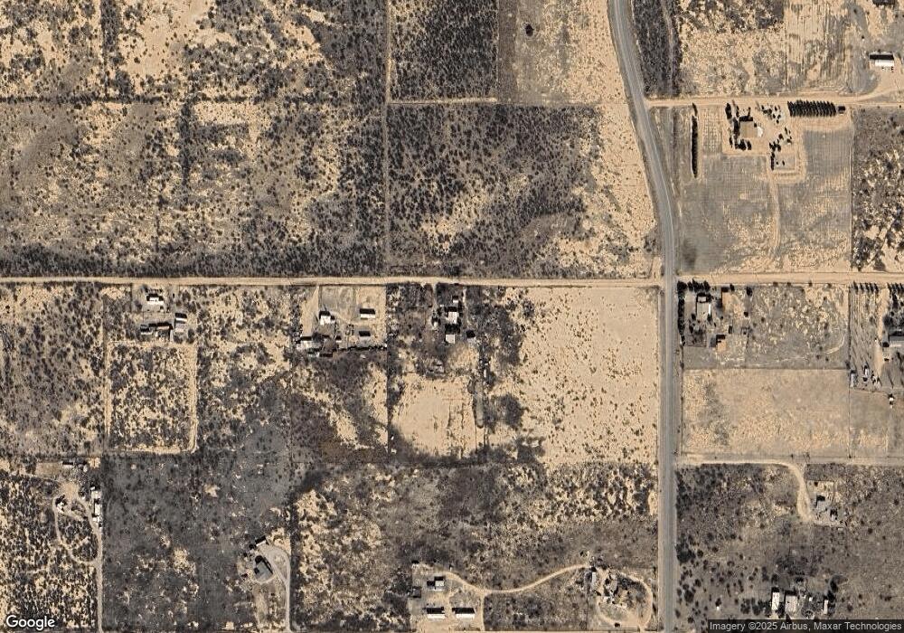
Map
Nearby Homes
- 4.92ac W Chief Dr Unit 46&51
- 4.92ac W Chief Dr Unit 51
- 100 acres W County Line Rd Unit 6
- 6040 11050 N Fort Grant Rd
- Willcox Unit AZ 85643
- 9910 N Fort Grant Rd
- 8255 N Fort Grant Rd
- 4.7 Acres Ingram Rd
- 4950 N Atwood
- Off of Atwood Rd
- 3760 W Valley View Ln
- 6464 N Six Gun Rd
- TBD W Old Stewart Rd Unit 19
- 0 W Saguaro Rd Unit 191
- 5008 N Joe Hines Rd
- 3628 El Sol Ln Unit 27
- 3727 N Wadsworth Rd
- 3514 N Keeling Ln
- 3219 W Escondido Rd
- 2 Lots Saddle Dr Unit 58-59
- 11870 N Fort Grant Rd
- 5923 McCratic Rd
- 6408 W Dee Rd
- 6110 W Dee Rd
- 5ac W Dee Rd Unit 102
- 6550 W Dee Rd
- 5995 W McCratic Rd
- 0 Dee Rd
- TPD Dee Rd
- 00 Dee Rd
- 5926 W McCratic Rd
- 5926 W McCratic Or Off Chief Rd
- 6611 W Chief Dr
- 5851 W Chief Dr
- TBD W Chief Dr
- 11666 N Fort Grant Rd
- 5.23 acres Mendoza Rd Unit n/a
- 5.23 acres Mendoza Rd Unit 128 & 143
- 0 Mendoza Rd Unit 22215173
- TBD Mendoza Rd Unit 145
Your Personal Tour Guide
Ask me questions while you tour the home.