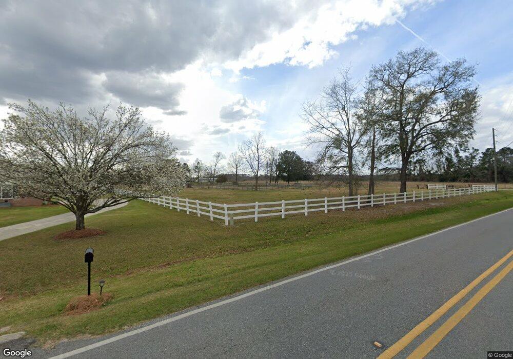
6334 Union Rd Hahira, GA 31632
Estimated Value: $450,000 - $497,340
4
Beds
2
Baths
3,758
Sq Ft
$126/Sq Ft
Est. Value
About This Home
This home is located at 6334 Union Rd, Hahira, GA 31632 and is currently estimated at $473,670, approximately $126 per square foot. 6334 Union Rd is a home with nearby schools including Hahira Elementary School, Hahira Middle School, and Lowndes High School.
Ownership History
Date
Name
Owned For
Owner Type
Purchase Details
Closed on
Nov 10, 2023
Sold by
Strickland Jennifer
Bought by
Strickland Jennifer and Strickland Sean
Current Estimated Value
Home Financials for this Owner
Home Financials are based on the most recent Mortgage that was taken out on this home.
Original Mortgage
$70,000
Outstanding Balance
$64,787
Interest Rate
6.89%
Mortgage Type
New Conventional
Estimated Equity
$408,883
Purchase Details
Closed on
Nov 12, 2013
Sold by
Tyler Jimmy
Bought by
Strickland Jennifer
Purchase Details
Closed on
Sep 24, 2007
Bought by
Tyler Velma T Life Estate
Create a Home Valuation Report for This Property
The Home Valuation Report is an in-depth analysis detailing your home's value as well as a comparison with similar homes in the area
Home Values in the Area
Average Home Value in this Area
Purchase History
| Date | Buyer | Sale Price | Title Company |
|---|---|---|---|
| Strickland Jennifer | -- | -- | |
| Strickland Jennifer | -- | -- | |
| Strickland Jennifer | -- | -- | |
| Strickland Jennifer | -- | -- | |
| Tyler Velma T Life Estate | -- | -- |
Source: Public Records
Mortgage History
| Date | Status | Borrower | Loan Amount |
|---|---|---|---|
| Open | Strickland Jennifer | $70,000 |
Source: Public Records
Tax History Compared to Growth
Tax History
| Year | Tax Paid | Tax Assessment Tax Assessment Total Assessment is a certain percentage of the fair market value that is determined by local assessors to be the total taxable value of land and additions on the property. | Land | Improvement |
|---|---|---|---|---|
| 2024 | $3,140 | $131,622 | $18,386 | $113,236 |
| 2023 | $3,140 | $130,419 | $17,183 | $113,236 |
| 2022 | $2,700 | $96,839 | $17,183 | $79,656 |
| 2021 | $2,820 | $96,839 | $17,183 | $79,656 |
| 2020 | $2,615 | $96,713 | $17,057 | $79,656 |
| 2019 | $2,642 | $96,713 | $17,057 | $79,656 |
| 2018 | $2,670 | $96,713 | $17,057 | $79,656 |
| 2017 | $2,671 | $95,162 | $15,506 | $79,656 |
| 2016 | $2,677 | $95,162 | $15,506 | $79,656 |
| 2015 | $2,586 | $95,946 | $15,506 | $80,440 |
| 2014 | $2,543 | $92,440 | $12,000 | $80,440 |
Source: Public Records
Map
Nearby Homes
- 6453 Meadow Creek Rd
- 6628 Brookridge Dr
- 6622 Brookridge Dr
- 209 Orvis Ln
- 6936 Simpson Rd
- The Belfort Plan at Phillips Place
- The Galen Plan at Phillips Place
- The Cali Plan at Phillips Place
- The Lakeside Plan at Phillips Place
- The Lismore Plan at Phillips Place
- 1601 Beverly Ln
- 1604 Beverly Ln
- 1596 Beverly Ln
- 840 Kristen Ln
- 819 Kristen Ln
- 489 Bryson Cir
- 5670 Barber Cir
- 1055 Angie Ln
- The Ozark Plan at Reynolda Place
- The Walker Plan at Reynolda Place
- 6321 Union Rd
- 6280 Union Rd
- 6274 Union Rd
- 6269 Union Rd
- 6148 Hall Rd
- 6358 Union Rd
- 6396 Union Rd
- 6442 Union Rd
- 6442 Union Rd
- 6210 Union Rd
- 6526 Brookridge Dr
- 6028 Hall Rd
- 6194 Union Rd
- 6522 Brookridge Dr
- 6518 Brookridge Dr
- 6542 Brookridge Dr
- 6534 Brookridge Dr
- 6514 Brookridge Dr
- 6546 Brookridge Dr
- 6400 Hillcrest Dr