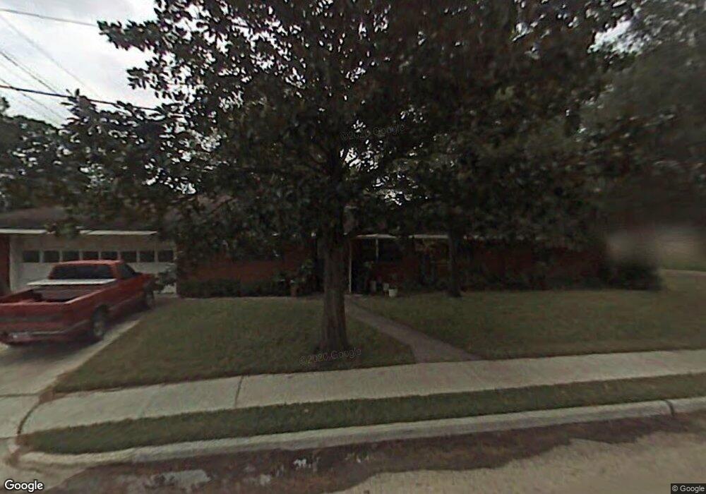
6334 Wynnwood Ln Houston, TX 77008
Lazy Brook-Timbergrove NeighborhoodEstimated Value: $729,000 - $1,064,000
3
Beds
3
Baths
3,295
Sq Ft
$286/Sq Ft
Est. Value
About This Home
This home is located at 6334 Wynnwood Ln, Houston, TX 77008 and is currently estimated at $942,265, approximately $285 per square foot. 6334 Wynnwood Ln is a home located in Harris County with nearby schools including Sinclair Elementary School, Frank Black Middle School, and Waltrip High School.
Ownership History
Date
Name
Owned For
Owner Type
Purchase Details
Closed on
Dec 10, 2021
Sold by
Tolson Catherine and Sims Kenneth T
Bought by
Bremer Steve and Bremer Bethany
Current Estimated Value
Home Financials for this Owner
Home Financials are based on the most recent Mortgage that was taken out on this home.
Original Mortgage
$385,000
Outstanding Balance
$354,004
Interest Rate
3.09%
Mortgage Type
Stand Alone Second
Estimated Equity
$588,261
Purchase Details
Closed on
Oct 24, 2008
Sold by
Estate Of Thelma O Savage
Bought by
Sims Kenneth T
Create a Home Valuation Report for This Property
The Home Valuation Report is an in-depth analysis detailing your home's value as well as a comparison with similar homes in the area
Home Values in the Area
Average Home Value in this Area
Purchase History
| Date | Buyer | Sale Price | Title Company |
|---|---|---|---|
| Bremer Steve | -- | Fidelity National Title | |
| Sims Kenneth T | -- | None Available |
Source: Public Records
Mortgage History
| Date | Status | Borrower | Loan Amount |
|---|---|---|---|
| Open | Bremer Steve | $385,000 |
Source: Public Records
Tax History Compared to Growth
Tax History
| Year | Tax Paid | Tax Assessment Tax Assessment Total Assessment is a certain percentage of the fair market value that is determined by local assessors to be the total taxable value of land and additions on the property. | Land | Improvement |
|---|---|---|---|---|
| 2025 | $11,545 | $1,079,201 | $442,000 | $637,201 |
| 2024 | $11,545 | $551,756 | $397,800 | $153,956 |
| 2023 | $11,545 | $509,197 | $350,064 | $159,133 |
| 2022 | $10,679 | $485,000 | $342,108 | $142,892 |
| 2021 | $11,120 | $488,288 | $318,240 | $170,048 |
| 2020 | $10,503 | $433,733 | $302,328 | $131,405 |
| 2019 | $10,295 | $406,850 | $270,504 | $136,346 |
| 2018 | $4,879 | $434,994 | $270,504 | $164,490 |
| 2017 | $10,999 | $434,994 | $270,504 | $164,490 |
| 2016 | $10,093 | $434,994 | $270,504 | $164,490 |
| 2015 | $4,469 | $427,085 | $270,504 | $156,581 |
| 2014 | $4,469 | $374,604 | $238,680 | $135,924 |
Source: Public Records
Map
Nearby Homes
- 6322 Wynnwood Ln
- 6227 Grovewood Ln
- 6423 Pineshade Ln
- 1606 Tannehill Dr
- 6518 Kury Ln
- 3106 Heritage Creek Oaks
- 2043 W 14th 1/2 St
- 1607 Haverhill Dr
- 3130 Heritage Creek Terrace
- 1243 W 15th 1/2 St
- 1406 Foxwood Rd
- 1723 Tannehill Dr
- 1134 Wynnwood Ln
- 6038 Woodbrook Ln
- 1506 Foxwood Rd
- 1607 Willowby Dr
- 1223 W 15th 1 2 St
- 1814 Haverhill Dr
- 1161 Beasley Hills Ln
- 1184 Nelson Falls Ln
- 6330 Wynnwood Ln
- 6326 Wynnwood Ln
- 6335 Wynnwood Ln
- 6323 Cindy Ln
- 6319 Cindy Ln
- 6315 Cindy Ln
- 6403 Cindy Ln
- 6331 Wynnwood Ln
- 6311 Cindy Ln
- 6327 Wynnwood Ln
- 6318 Wynnwood Ln
- 6407 Cindy Ln
- 1238 Manville St
- 6323 Wynnwood Ln
- 6307 Cindy Ln
- 6411 Cindy Ln
- 6314 Wynnwood Ln
- 1234 Manville St
- 6319 Wynnwood Ln
- 6303 Cindy Ln