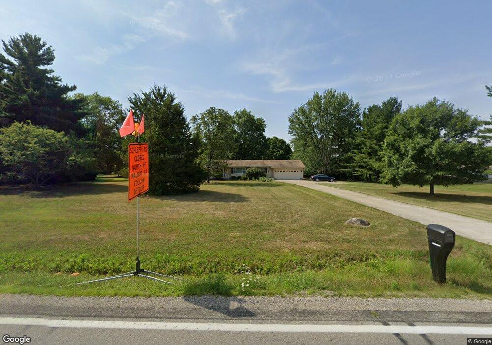
6335 E Walnut St Westerville, OH 43081
Estimated Value: $523,000 - $569,000
3
Beds
2
Baths
1,987
Sq Ft
$275/Sq Ft
Est. Value
About This Home
This home is located at 6335 E Walnut St, Westerville, OH 43081 and is currently estimated at $546,712, approximately $275 per square foot. 6335 E Walnut St is a home located in Franklin County with nearby schools including New Albany Primary School, New Albany Intermediate School, and New Albany Middle School.
Ownership History
Date
Name
Owned For
Owner Type
Purchase Details
Closed on
Dec 4, 1969
Bought by
Metcalf Royce H
Current Estimated Value
Create a Home Valuation Report for This Property
The Home Valuation Report is an in-depth analysis detailing your home's value as well as a comparison with similar homes in the area
Home Values in the Area
Average Home Value in this Area
Purchase History
| Date | Buyer | Sale Price | Title Company |
|---|---|---|---|
| Metcalf Royce H | -- | -- |
Source: Public Records
Tax History Compared to Growth
Tax History
| Year | Tax Paid | Tax Assessment Tax Assessment Total Assessment is a certain percentage of the fair market value that is determined by local assessors to be the total taxable value of land and additions on the property. | Land | Improvement |
|---|---|---|---|---|
| 2024 | $9,862 | $167,480 | $88,730 | $78,750 |
| 2023 | $9,139 | $167,480 | $88,730 | $78,750 |
| 2022 | $6,484 | $95,380 | $40,810 | $54,570 |
| 2021 | $6,233 | $95,380 | $40,810 | $54,570 |
| 2020 | $6,196 | $95,380 | $40,810 | $54,570 |
| 2019 | $5,703 | $81,520 | $35,490 | $46,030 |
| 2018 | $5,726 | $81,520 | $35,490 | $46,030 |
| 2017 | $5,765 | $81,520 | $35,490 | $46,030 |
| 2016 | $5,824 | $77,320 | $33,180 | $44,140 |
| 2015 | $5,819 | $77,320 | $33,180 | $44,140 |
| 2014 | $5,715 | $77,320 | $33,180 | $44,140 |
| 2013 | $2,774 | $73,605 | $31,570 | $42,035 |
Source: Public Records
Map
Nearby Homes
- 6233 E Walnut St
- 7527 Bullock Ln Unit Lot 177
- 6399 Callaway Square W Unit Lot 130
- 7234 Normanton Dr
- 7197 Hillmont Dr
- 7231 Winterbek Ave
- 7168 Normanton Dr
- Martin Ray Plan at Nottingham Trace
- Eastway Plan at Nottingham Trace
- Ascend Plan at Nottingham Trace
- Senoia Plan at Nottingham Trace
- Abbeyville Plan at Nottingham Trace
- 6071 Alice Dr
- 6092 Phar Lap Dr Unit 16
- 6058 Avatar Dr Unit 13
- 6044 Phar Lap Dr Unit 18
- 6001 E Walnut St
- 7209 Billy Goat Dr
- 7099 Fonso Dr
- 5982 Silver Charms Way Unit 32
- 6371 E Walnut St
- 6301 E Walnut St
- 6235 E Walnut St
- 6403 E Walnut St
- 7724 Schleppi Rd
- 7763 Schleppi Rd
- 7763 Schleppi Rd
- 6449 E Walnut St
- 7675 Schleppi Rd
- 6268 Upper Albany Ct
- 6260 Upper Albany Ct
- 6252 Upper Albany Ct
- 6244 Upper Albany Ct
- 6236 Upper Albany Ct
- 6228 Upper Albany Ct
- 6275 Upper Albany Ct
- 7758 Claridge Dr
- 6045 Peck Ln
- 6263 Upper Albany Ct
- 6220 Upper Albany Ct