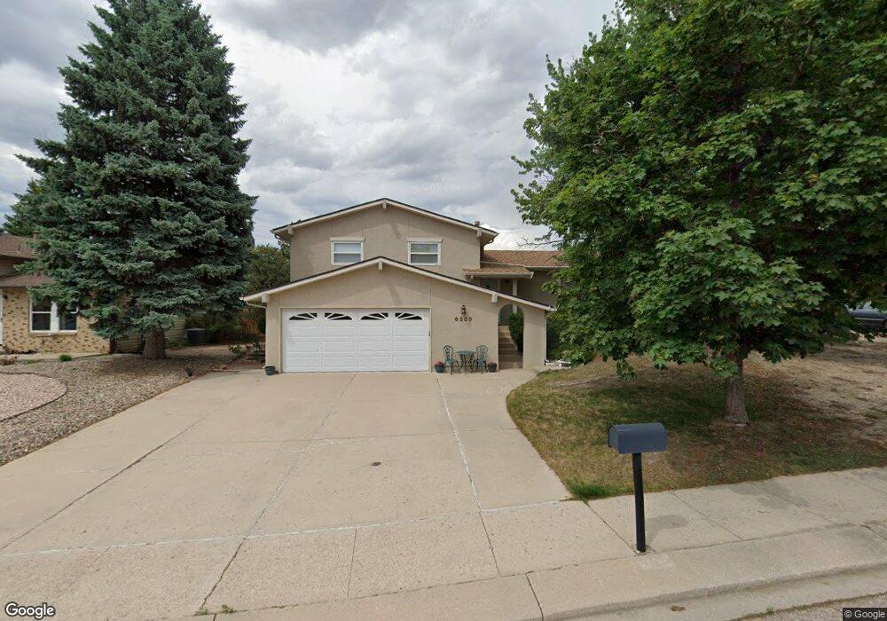
6335 Snowbird Dr Colorado Springs, CO 80918
Pulpit Rock NeighborhoodEstimated Value: $396,771 - $450,000
3
Beds
3
Baths
1,330
Sq Ft
$326/Sq Ft
Est. Value
About This Home
This home is located at 6335 Snowbird Dr, Colorado Springs, CO 80918 and is currently estimated at $432,943, approximately $325 per square foot. 6335 Snowbird Dr is a home located in El Paso County with nearby schools including King Elementary School, Russell Middle School, and Coronado High School.
Ownership History
Date
Name
Owned For
Owner Type
Purchase Details
Closed on
Jan 28, 1999
Sold by
Baumgart Gregory J and Baumgart Debra R
Bought by
Johnson Foster L and Johnson Paula J
Current Estimated Value
Home Financials for this Owner
Home Financials are based on the most recent Mortgage that was taken out on this home.
Original Mortgage
$96,900
Outstanding Balance
$23,034
Interest Rate
6.79%
Estimated Equity
$409,909
Purchase Details
Closed on
Aug 1, 1987
Bought by
Johnson Foster L
Purchase Details
Closed on
Mar 1, 1979
Bought by
Johnson Foster L
Create a Home Valuation Report for This Property
The Home Valuation Report is an in-depth analysis detailing your home's value as well as a comparison with similar homes in the area
Home Values in the Area
Average Home Value in this Area
Purchase History
| Date | Buyer | Sale Price | Title Company |
|---|---|---|---|
| Johnson Foster L | $146,900 | Security Title | |
| Johnson Foster L | -- | -- | |
| Johnson Foster L | -- | -- |
Source: Public Records
Mortgage History
| Date | Status | Borrower | Loan Amount |
|---|---|---|---|
| Open | Johnson Foster L | $96,900 |
Source: Public Records
Tax History Compared to Growth
Tax History
| Year | Tax Paid | Tax Assessment Tax Assessment Total Assessment is a certain percentage of the fair market value that is determined by local assessors to be the total taxable value of land and additions on the property. | Land | Improvement |
|---|---|---|---|---|
| 2025 | $1,431 | $30,260 | -- | -- |
| 2024 | $1,431 | $30,170 | $4,840 | $25,330 |
| 2022 | $832 | $21,810 | $4,300 | $17,510 |
| 2021 | $902 | $22,440 | $4,430 | $18,010 |
| 2020 | $806 | $19,030 | $3,850 | $15,180 |
| 2019 | $802 | $19,030 | $3,850 | $15,180 |
| 2018 | $1,183 | $16,120 | $3,240 | $12,880 |
| 2017 | $1,120 | $16,120 | $3,240 | $12,880 |
| 2016 | $892 | $15,390 | $3,340 | $12,050 |
| 2015 | $889 | $15,390 | $3,340 | $12,050 |
| 2014 | $842 | $13,990 | $3,300 | $10,690 |
Source: Public Records
Map
Nearby Homes
- 6470 Lehman Dr
- 6447 Jonathan Ct Unit E1
- 6041 Kingdom View
- 2113 Roundtop Ct
- 6035 Tuckerman Ln
- 6641 Gambol Quail Dr W
- 6530 Brook Park Dr
- 6655 Sproul Ln
- 6145 Pine Hill Dr
- 2570 Covington Place
- 1850 Brookdale Dr
- 6205 MacH 1 Dr
- 6119 Pine Hill Dr
- 6107 Pine Hill Dr
- 2635 Canton Ln
- 2690 Maroon Bells Ave
- 1892 Brookdale Dr
- 2642 Lynbarton Point
- 2650 Canton Ln
- 2563 Integrity Ct
- 6345 Snowbird Dr
- 6325 Snowbird Dr
- 2435 Roundtop Dr
- 2425 Roundtop Dr
- 6355 Snowbird Dr
- 2445 Roundtop Dr
- 6315 Snowbird Dr
- 2415 Roundtop Dr
- 6340 Snowbird Dr
- 6320 Snowbird Dr
- 6330 Snowbird Dr
- 6350 Snowbird Dr
- 6365 Snowbird Dr
- 2455 Roundtop Dr
- 2375 Roundtop Dr
- 6360 Snowbird Dr
- 6270 Tuckerman Ln
- 6260 Tuckerman Ln
- 6370 Snowbird Dr
- 6375 Snowbird Dr