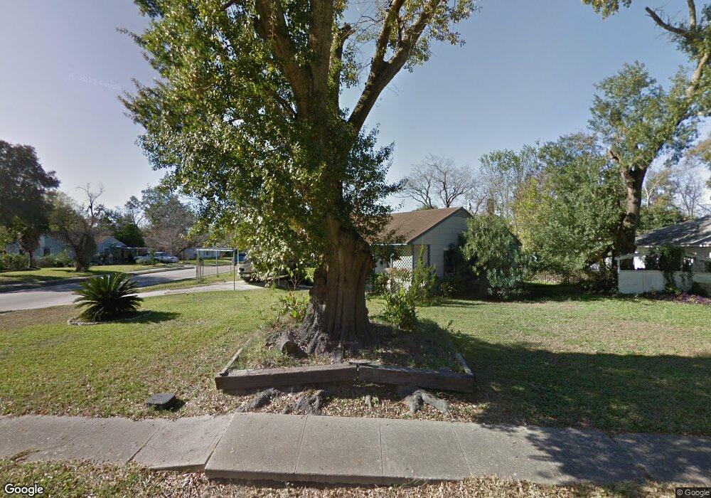
6336 Sherwood Dr Houston, TX 77021
OST-South Union NeighborhoodEstimated Value: $144,000 - $159,427
2
Beds
1
Bath
816
Sq Ft
$183/Sq Ft
Est. Value
About This Home
This home is located at 6336 Sherwood Dr, Houston, TX 77021 and is currently estimated at $149,607, approximately $183 per square foot. 6336 Sherwood Dr is a home located in Harris County with nearby schools including Peck Elementary School, Cullen Middle School, and Yates High School.
Ownership History
Date
Name
Owned For
Owner Type
Purchase Details
Closed on
Oct 9, 2015
Sold by
Wilson Betty Jean
Bought by
Wilson Betty Jean
Current Estimated Value
Purchase Details
Closed on
Aug 26, 2002
Sold by
Paul Dunphey Llc
Bought by
Wilson Je and Wilson Betty Jean
Home Financials for this Owner
Home Financials are based on the most recent Mortgage that was taken out on this home.
Original Mortgage
$48,015
Interest Rate
6.47%
Create a Home Valuation Report for This Property
The Home Valuation Report is an in-depth analysis detailing your home's value as well as a comparison with similar homes in the area
Home Values in the Area
Average Home Value in this Area
Purchase History
| Date | Buyer | Sale Price | Title Company |
|---|---|---|---|
| Wilson Betty Jean | -- | None Available | |
| Wilson Je | -- | Texas American Title Company |
Source: Public Records
Mortgage History
| Date | Status | Borrower | Loan Amount |
|---|---|---|---|
| Previous Owner | Wilson Je | $48,015 |
Source: Public Records
Tax History Compared to Growth
Tax History
| Year | Tax Paid | Tax Assessment Tax Assessment Total Assessment is a certain percentage of the fair market value that is determined by local assessors to be the total taxable value of land and additions on the property. | Land | Improvement |
|---|---|---|---|---|
| 2025 | $3,557 | $160,612 | $115,200 | $45,412 |
| 2024 | $3,557 | $170,000 | $115,200 | $54,800 |
| 2023 | $3,557 | $166,247 | $115,200 | $51,047 |
| 2022 | $3,128 | $142,049 | $89,600 | $52,449 |
| 2021 | $2,569 | $110,215 | $57,600 | $52,615 |
| 2020 | $2,149 | $88,740 | $38,400 | $50,340 |
| 2019 | $1,891 | $74,736 | $32,000 | $42,736 |
| 2018 | $1,511 | $59,716 | $25,600 | $34,116 |
| 2017 | $1,510 | $59,716 | $25,600 | $34,116 |
| 2016 | $1,350 | $53,381 | $25,600 | $27,781 |
| 2015 | $902 | $51,329 | $25,600 | $25,729 |
| 2014 | $902 | $35,104 | $16,000 | $19,104 |
Source: Public Records
Map
Nearby Homes
- 0 Conley St
- 3922 Alsace St
- 6417 Saint Augustine St
- 0 Mt Pleasant St Unit 30800007
- 4520 Yellowstone Blvd
- 0 Stearns Unit 28305136
- 6418 Saint Augustine St
- 0 Balkin St Unit 31455471
- 6405 Conley St
- 3931 Zephyr St
- 0 Belvedere St Unit 84653424
- 0 St Augustine St Unit 38469599
- 6418 England St
- 3939 Tristan St
- 6202 Conley St
- 3930 Daphne St
- 6208 Sidney St
- 0 Sidney St Unit 28682136
- 6818 Saint Augustine St
- 4209 Short St
- 6330 Sherwood Dr
- 3939 Cosby St
- 3935 Cosby St
- 6402 Sherwood Dr
- 6324 Sherwood Dr
- 3938 Alsace St
- 0 Griggs Unit 67722101
- 0 Griggs Unit 5489687
- 0 Griggs Unit 80279539
- 0 Griggs Unit 70725044
- 0 Griggs Unit 87218930
- 0 Griggs Unit 95823415
- 0 Griggs Unit 28154835
- 0 Griggs Unit 65574678
- 0 Griggs Unit 73529792
- 0 Griggs Unit 47816975
- 0 Griggs Unit 73536763
- 0 Griggs Unit 36853771
- 0 Griggs Unit 44641149
- 6335 Sherwood Dr