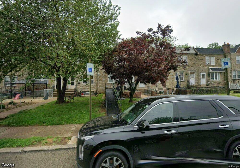
6337 Large St Philadelphia, PA 19149
Castor Gardens NeighborhoodEstimated Value: $199,000 - $248,000
3
Beds
1
Bath
1,222
Sq Ft
$182/Sq Ft
Est. Value
About This Home
This home is located at 6337 Large St, Philadelphia, PA 19149 and is currently estimated at $222,575, approximately $182 per square foot. 6337 Large St is a home located in Philadelphia County with nearby schools including Gilbert Spruance School, Northeast High School, and St Martin Of Tours Catholic School.
Ownership History
Date
Name
Owned For
Owner Type
Purchase Details
Closed on
Mar 25, 2003
Sold by
Walther Mark D
Bought by
Jones Quentin A
Current Estimated Value
Home Financials for this Owner
Home Financials are based on the most recent Mortgage that was taken out on this home.
Original Mortgage
$80,860
Interest Rate
5.53%
Mortgage Type
FHA
Purchase Details
Closed on
Apr 29, 1998
Sold by
Willie Paul R and Willie Lisa
Bought by
Walther Mark D
Create a Home Valuation Report for This Property
The Home Valuation Report is an in-depth analysis detailing your home's value as well as a comparison with similar homes in the area
Home Values in the Area
Average Home Value in this Area
Purchase History
| Date | Buyer | Sale Price | Title Company |
|---|---|---|---|
| Jones Quentin A | $81,500 | -- | |
| Walther Mark D | $53,000 | -- |
Source: Public Records
Mortgage History
| Date | Status | Borrower | Loan Amount |
|---|---|---|---|
| Previous Owner | Jones Quentin A | $80,860 |
Source: Public Records
Tax History Compared to Growth
Tax History
| Year | Tax Paid | Tax Assessment Tax Assessment Total Assessment is a certain percentage of the fair market value that is determined by local assessors to be the total taxable value of land and additions on the property. | Land | Improvement |
|---|---|---|---|---|
| 2026 | $2,461 | $216,700 | $43,340 | $173,360 |
| 2025 | $2,461 | $216,700 | $43,340 | $173,360 |
| 2024 | $2,461 | $216,700 | $43,340 | $173,360 |
| 2023 | $2,461 | $175,800 | $35,160 | $140,640 |
| 2022 | $1,130 | $130,800 | $35,160 | $95,640 |
| 2021 | $1,760 | $0 | $0 | $0 |
| 2020 | $1,760 | $0 | $0 | $0 |
| 2019 | $1,688 | $0 | $0 | $0 |
| 2018 | $1,694 | $0 | $0 | $0 |
| 2017 | $1,694 | $0 | $0 | $0 |
| 2016 | $1,274 | $0 | $0 | $0 |
| 2015 | $1,219 | $0 | $0 | $0 |
| 2014 | -- | $121,000 | $28,643 | $92,357 |
| 2012 | -- | $15,136 | $2,790 | $12,346 |
Source: Public Records
Map
Nearby Homes
- 1500 Hellerman St
- 1530 Hellerman St
- 1535 Hellerman St
- 1427 Robbins Ave
- 1440 Robbins Ave
- 1453 Mckinley St
- 6239 Castor Ave
- 1431 Greeby St
- 1414 Mckinley St
- 2001R Mckinley St
- 1439 Gilham St
- 6626 Lynford St
- 1409 Greeby St
- 1531 Stevens St
- 1437 Magee Ave
- 1412 Magee Ave
- 1350 Greeby St
- 6621 Sylvester St
- 6135 Castor Ave
- 1417 Stevens St