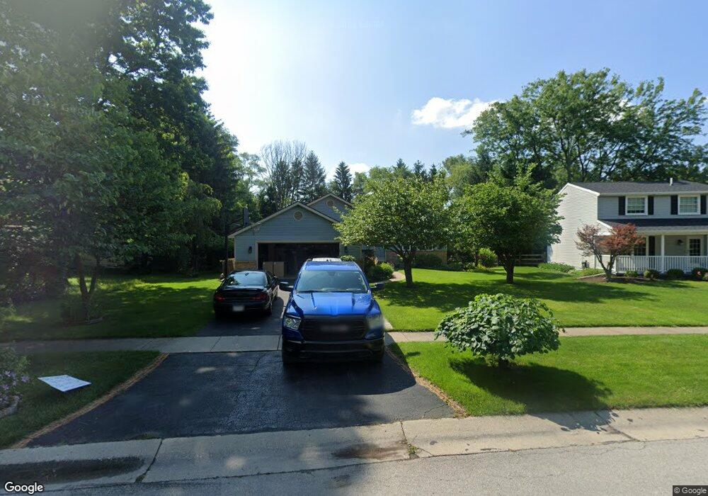
6337 Millbrook Rd Maumee, OH 43537
Estimated Value: $228,346 - $269,000
3
Beds
1
Bath
1,652
Sq Ft
$151/Sq Ft
Est. Value
About This Home
This home is located at 6337 Millbrook Rd, Maumee, OH 43537 and is currently estimated at $249,587, approximately $151 per square foot. 6337 Millbrook Rd is a home located in Lucas County with nearby schools including Holloway Elementary School, Springfield Middle School, and Springfield High School.
Ownership History
Date
Name
Owned For
Owner Type
Purchase Details
Closed on
May 7, 1998
Sold by
Tetting Thomas N and Tetting Kathleen S
Bought by
Fleischmann John E and Fleischmann Pamela S
Current Estimated Value
Home Financials for this Owner
Home Financials are based on the most recent Mortgage that was taken out on this home.
Original Mortgage
$107,500
Interest Rate
7.2%
Create a Home Valuation Report for This Property
The Home Valuation Report is an in-depth analysis detailing your home's value as well as a comparison with similar homes in the area
Home Values in the Area
Average Home Value in this Area
Purchase History
| Date | Buyer | Sale Price | Title Company |
|---|---|---|---|
| Fleischmann John E | $126,500 | -- |
Source: Public Records
Mortgage History
| Date | Status | Borrower | Loan Amount |
|---|---|---|---|
| Closed | Fleischmann John E | $107,500 |
Source: Public Records
Tax History
| Year | Tax Paid | Tax Assessment Tax Assessment Total Assessment is a certain percentage of the fair market value that is determined by local assessors to be the total taxable value of land and additions on the property. | Land | Improvement |
|---|---|---|---|---|
| 2025 | -- | $56,210 | $15,470 | $40,740 |
| 2024 | $1,708 | $56,210 | $15,470 | $40,740 |
| 2023 | $3,683 | $53,130 | $13,615 | $39,515 |
| 2022 | $3,681 | $53,130 | $13,615 | $39,515 |
| 2021 | $3,460 | $53,130 | $13,615 | $39,515 |
| 2020 | $3,513 | $48,965 | $10,220 | $38,745 |
| 2019 | $3,431 | $48,965 | $10,220 | $38,745 |
| 2018 | $3,498 | $48,965 | $10,220 | $38,745 |
| 2017 | $3,590 | $47,845 | $9,975 | $37,870 |
| 2016 | $3,623 | $136,700 | $28,500 | $108,200 |
| 2015 | $3,616 | $136,700 | $28,500 | $108,200 |
| 2014 | $3,228 | $45,990 | $9,590 | $36,400 |
| 2013 | $3,228 | $45,990 | $9,590 | $36,400 |
Source: Public Records
Map
Nearby Homes
- 6418 Scarsdale Rd
- 2001 Perrysburg Holland Rd
- 2165 Glenacres Ct
- 6655 Garden Rd Unit 6655
- 2024 Inglewood Rd
- 6652 Sue Ln
- 6705 Garden Rd Unit 6705
- 2437 Knights Hill Ln
- 6731 Garden Rd Unit 6731
- 36 Wolf Ridge Dr
- 6856 Morningdew Blvd
- 38 Walnut Creek Dr
- 7009 Shadowcreek Dr
- 5741 Heatherbank Rd
- 5637 Swan Creek Dr
- 8939 Airport Hwy
- 2161 Winterset Dr Unit 2161
- 5655 Cresthaven Ln
- 6640 Salisbury Rd
- 5441 Cresthaven Ln
- 6331 Millbrook Rd
- 6343 Millbrook Rd
- 6351 Millbrook Rd
- 2253 Denton Ln
- 6357 Millbrook Rd
- 6334 Millbrook Rd
- 2245 Denton Ln
- 6320 Millbrook Rd
- 6321 Millbrook Rd
- 6360 Millbrook Rd
- 6326 Millbrook Rd
- 6369 Millbrook Rd
- 2237 Denton Ln
- 6368 Millbrook Rd
- 6415 Scarsdale Rd
- 6403 Millbrook Rd
- 6400 Millbrook Rd
- 2229 Denton Ln
- 6421 Scarsdale Rd
- 6401 Nassau Ct
Your Personal Tour Guide
Ask me questions while you tour the home.