63375 State Route 124 Long Bottom, OH 45743
Estimated Value: $161,423 - $237,000
2
Beds
1
Bath
1,185
Sq Ft
$178/Sq Ft
Est. Value
About This Home
This home is located at 63375 State Route 124, Long Bottom, OH 45743 and is currently estimated at $210,356, approximately $177 per square foot. 63375 State Route 124 is a home with nearby schools including Eastern Elementary School and Eastern High School.
Ownership History
Date
Name
Owned For
Owner Type
Purchase Details
Closed on
Sep 15, 2020
Sold by
Spires Daniel Roy
Bought by
Spires Donna Leigh and Curtis Donna Leigh
Current Estimated Value
Purchase Details
Closed on
Sep 26, 2018
Sold by
Drake Marjorie Hope and Adams John
Bought by
Denney Harold and Denney Angel
Purchase Details
Closed on
Jan 30, 2008
Sold by
Adams Harold L and Adams Garcia L
Bought by
Federal National Mortgage Association
Home Financials for this Owner
Home Financials are based on the most recent Mortgage that was taken out on this home.
Original Mortgage
$66,876
Interest Rate
5.75%
Mortgage Type
Future Advance Clause Open End Mortgage
Create a Home Valuation Report for This Property
The Home Valuation Report is an in-depth analysis detailing your home's value as well as a comparison with similar homes in the area
Home Values in the Area
Average Home Value in this Area
Purchase History
| Date | Buyer | Sale Price | Title Company |
|---|---|---|---|
| Spires Donna Leigh | -- | None Available | |
| Denney Harold | $120,000 | None Available | |
| Spires Daniel Roy | $45,000 | None Available | |
| Federal National Mortgage Association | $91,350 | None Available |
Source: Public Records
Mortgage History
| Date | Status | Borrower | Loan Amount |
|---|---|---|---|
| Previous Owner | Federal National Mortgage Association | $66,876 |
Source: Public Records
Tax History Compared to Growth
Tax History
| Year | Tax Paid | Tax Assessment Tax Assessment Total Assessment is a certain percentage of the fair market value that is determined by local assessors to be the total taxable value of land and additions on the property. | Land | Improvement |
|---|---|---|---|---|
| 2024 | $1,165 | $37,820 | $7,040 | $30,780 |
| 2023 | $1,165 | $37,820 | $7,040 | $30,780 |
| 2022 | $1,196 | $37,820 | $7,040 | $30,780 |
| 2021 | $980 | $29,470 | $4,620 | $24,850 |
| 2020 | $980 | $29,470 | $4,620 | $24,850 |
| 2019 | $987 | $29,470 | $4,620 | $24,850 |
| 2018 | $1,080 | $32,820 | $2,980 | $29,840 |
| 2017 | $1,080 | $32,820 | $2,980 | $29,840 |
| 2016 | $1,119 | $32,820 | $2,980 | $29,840 |
| 2014 | $884 | $29,170 | $2,910 | $26,260 |
| 2013 | $884 | $29,170 | $2,910 | $26,260 |
Source: Public Records
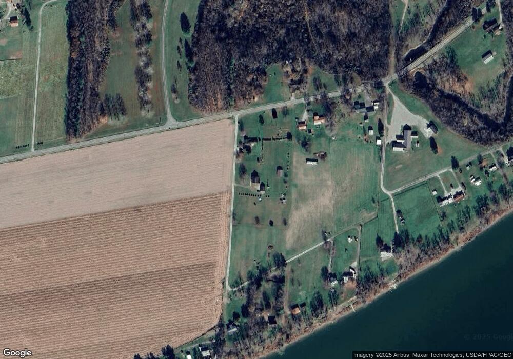
Map
Nearby Homes
- 0 Putnam Dr
- 0 Little Forest Run Rd
- 53625 Durst Rd
- 52790 Curtis Hollow Rd
- 0 Bigley Run Rd
- 0 E Little Forest Run Rd
- 51909 Ohio 681
- 0 Bigley Ridge Rd
- 0 Barr Hollow Rd
- 0 Mount Olive Rd Unit 20799198
- 0 Wells Run Rd
- 5256 Ravenswood Rd
- 1993 S Pleasant Hill Rd
- 34618 Bashan Rd
- 37227 Bashan Rd
- 0 Buckingham Rd Unit 11539529
- 0 Indian Creek Unit 2433460
- 0 Robinhood Rd
- 0 Indian Run
- 4336 Dutch Ridge Rd
- 63397 State Route 124
- 63345 State Route 124
- 63420 State Route 124
- 63420 State Route 124
- 63369 State Route 124
- 63443 State Route 124
- 63361 State Route 124
- 54141 Fellowship Dr
- 000 Rt124
- 63096 State Route 124
- 54157 Fellowship Dr
- 63820 Ohio 124
- 63595 Ohio 124
- 63096 Ohio 124
- 63653 State Route 124
- 62899 State Route 124
- 63088 Ohio 124
- 54169 Fellowship Dr
- 63088 State Route 124
- 54173 Fellowship Dr