6338 Thornhill Ct Unit 8731 Hudsonville, MI 49426
Estimated Value: $363,000 - $390,000
2
Beds
3
Baths
1,434
Sq Ft
$262/Sq Ft
Est. Value
About This Home
This home is located at 6338 Thornhill Ct Unit 8731, Hudsonville, MI 49426 and is currently estimated at $375,454, approximately $261 per square foot. 6338 Thornhill Ct Unit 8731 is a home located in Ottawa County with nearby schools including Bursley School, Jenison Junior High School, and Jenison High School.
Ownership History
Date
Name
Owned For
Owner Type
Purchase Details
Closed on
Jan 18, 2023
Sold by
Stank Suzanne
Bought by
Stank Suzanne
Current Estimated Value
Purchase Details
Closed on
Oct 11, 2004
Sold by
Mollema Bernard J and Mollema Marjorie A
Bought by
Terpstra Royce A and Terpstra Delores
Home Financials for this Owner
Home Financials are based on the most recent Mortgage that was taken out on this home.
Original Mortgage
$161,200
Interest Rate
5.82%
Mortgage Type
Purchase Money Mortgage
Create a Home Valuation Report for This Property
The Home Valuation Report is an in-depth analysis detailing your home's value as well as a comparison with similar homes in the area
Home Values in the Area
Average Home Value in this Area
Purchase History
| Date | Buyer | Sale Price | Title Company |
|---|---|---|---|
| Stank Suzanne | -- | -- | |
| Terpstra Royce A | $201,500 | Transnation Title |
Source: Public Records
Mortgage History
| Date | Status | Borrower | Loan Amount |
|---|---|---|---|
| Previous Owner | Terpstra Royce A | $161,200 | |
| Closed | Terpstra Royce A | $40,000 |
Source: Public Records
Tax History Compared to Growth
Tax History
| Year | Tax Paid | Tax Assessment Tax Assessment Total Assessment is a certain percentage of the fair market value that is determined by local assessors to be the total taxable value of land and additions on the property. | Land | Improvement |
|---|---|---|---|---|
| 2025 | $4,179 | $168,700 | $0 | $0 |
| 2024 | $3,627 | $169,200 | $0 | $0 |
| 2023 | $3,462 | $141,000 | $0 | $0 |
| 2022 | $2,546 | $138,600 | $0 | $0 |
| 2021 | $2,472 | $126,100 | $0 | $0 |
| 2020 | $2,445 | $124,900 | $0 | $0 |
| 2019 | $2,447 | $121,600 | $0 | $0 |
| 2018 | $2,282 | $115,900 | $0 | $0 |
| 2017 | $2,242 | $113,700 | $0 | $0 |
| 2016 | $2,229 | $103,600 | $0 | $0 |
| 2015 | $2,127 | $104,700 | $0 | $0 |
| 2014 | $2,127 | $78,400 | $0 | $0 |
Source: Public Records
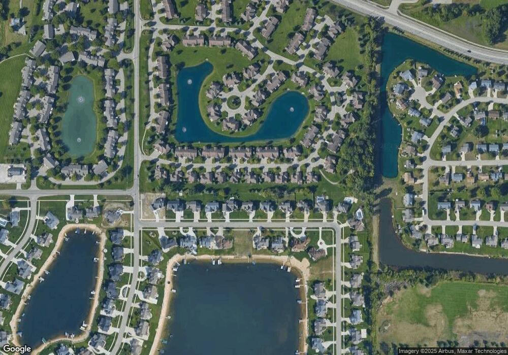
Map
Nearby Homes
- 1643 Laramy Ln
- 6363 Eastridge Ct
- 1433 Winifred St
- 1496 Eagle Shore Ct Unit 13
- 1519 Eagle Shore Ct Unit Lot 33
- 1481 Eagle Shore Ct Unit 39
- 1361 Carol Dr
- 1451 Eagle Shore Ct
- 1355 Bent Tree Dr Unit 12
- 1306 Carol Dr
- 6129 W Bay Ct
- 6451 12th Ave
- 6025 Gleneagle Dr
- 1241 S Marymark Dr
- 1040 Castlebay Way Unit 19
- 1038 Castlebay Way Unit 18
- 1036 Castlebay Way Unit 17
- 6028 22nd Ave
- Parcel 8 16th Ave
- 1025 Parsons St
- 6338 Thornhill Ct
- 6340 Thornhill Ct
- 6326 Thornhill Ct
- 6326 Thornhill Ct Unit 98
- 6324 Thornhill Ct Unit 97
- 6322 Thornhill Ct
- 6322 Thornhill Ct Unit 96
- 6345 Thornhill Ct
- 6347 Thornhill Ct
- 6349 Thornhill Ct
- 6329 Thornhill Ct Unit 104
- 1633 Stonegate Dr
- 6327 Thornhill Ct
- 1631 Stonegate Dr
- 6325 Thornhill Ct
- 1619 Stonegate Dr Unit 93
- 1617 Stonegate Dr
- 1658 Stonegate Dr
- 1654 Stonegate Dr
- 6360 Mansfield Ct