6338 W MacLaurin Dr Tampa, FL 33647
Tampa Palms NeighborhoodEstimated Value: $1,903,886 - $2,289,000
5
Beds
6
Baths
7,228
Sq Ft
$292/Sq Ft
Est. Value
About This Home
This home is located at 6338 W MacLaurin Dr, Tampa, FL 33647 and is currently estimated at $2,113,722, approximately $292 per square foot. 6338 W MacLaurin Dr is a home located in Hillsborough County with nearby schools including Tampa Palms Elementary School, Liberty Middle School, and Freedom High School.
Ownership History
Date
Name
Owned For
Owner Type
Purchase Details
Closed on
Jun 13, 2002
Sold by
Swander Robert B and Swander A
Bought by
Dhaliwal Amarjit S and Dhaliwal Parminder
Current Estimated Value
Home Financials for this Owner
Home Financials are based on the most recent Mortgage that was taken out on this home.
Original Mortgage
$600,000
Interest Rate
6.77%
Mortgage Type
New Conventional
Purchase Details
Closed on
Oct 3, 2000
Sold by
Lanza Robert W and Lanza Darlene
Bought by
Swander Robert B and Swander Patricia A
Create a Home Valuation Report for This Property
The Home Valuation Report is an in-depth analysis detailing your home's value as well as a comparison with similar homes in the area
Home Values in the Area
Average Home Value in this Area
Purchase History
| Date | Buyer | Sale Price | Title Company |
|---|---|---|---|
| Dhaliwal Amarjit S | $1,225,000 | -- | |
| Swander Robert B | $775,000 | -- |
Source: Public Records
Mortgage History
| Date | Status | Borrower | Loan Amount |
|---|---|---|---|
| Open | Swander Robert B | $250,000 | |
| Open | Swander Robert B | $595,000 | |
| Closed | Swander Robert B | $600,000 | |
| Previous Owner | Swander Robert B | $117,453 |
Source: Public Records
Tax History Compared to Growth
Tax History
| Year | Tax Paid | Tax Assessment Tax Assessment Total Assessment is a certain percentage of the fair market value that is determined by local assessors to be the total taxable value of land and additions on the property. | Land | Improvement |
|---|---|---|---|---|
| 2024 | $20,648 | $982,578 | -- | -- |
| 2023 | $20,114 | $953,959 | $0 | $0 |
| 2022 | $19,433 | $926,174 | $0 | $0 |
| 2021 | $19,159 | $899,198 | $0 | $0 |
| 2020 | $18,968 | $886,783 | $0 | $0 |
| 2019 | $18,669 | $866,846 | $0 | $0 |
| 2018 | $18,547 | $850,683 | $0 | $0 |
| 2017 | $18,323 | $940,000 | $0 | $0 |
| 2016 | $17,835 | $816,049 | $0 | $0 |
| 2015 | $17,965 | $810,376 | $0 | $0 |
| 2014 | $17,704 | $803,749 | $0 | $0 |
| 2013 | -- | $782,602 | $0 | $0 |
Source: Public Records
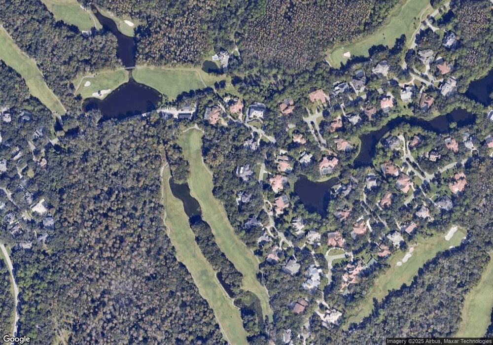
Map
Nearby Homes
- 6352 W MacLaurin Dr
- 15878 Sanctuary Dr
- 15811 Sanctuary Dr
- 5702 Ainsworth Ct W
- 6016 Pratt St
- 6222 Greenwich Dr
- 15909 Amberly Dr
- 5100 Burchette Rd Unit 3005
- 5100 Burchette Rd Unit 2306
- 5100 Burchette Rd Unit 306
- 5100 Burchette Rd Unit 2701
- 5100 Burchette Rd Unit 406
- 16125 Ancroft Ct
- 5157 Sterling Manor Dr
- 5167 Sterling Manor Dr
- 16036 Bella Woods Dr
- 16010 Westerham Dr
- 16003 Ridley Place
- 16005 Ridley Place
- 7710 Tuscany Woods Dr
- 6340 W MacLaurin Dr
- 6334 W MacLaurin Dr
- 6331 W MacLaurin Dr
- 6333 W MacLaurin Dr Unit 1
- 6329 W MacLaurin Dr
- 6332 W MacLaurin Dr
- 6006 Windham Place
- 15504 Thornhurst Ct Unit 1
- 15502 Thornhurst Ct
- 6002 Windham Place
- 6004 Windham Place
- 6330 W MacLaurin Dr Unit 1
- 6344 W MacLaurin Dr
- 6327 W MacLaurin Dr
- 15501 Thornhurst Ct
- 6328 W MacLaurin Dr
- 6325 W MacLaurin Dr
- 15503 Thornhurst Ct Unit 1
- 15505 Thornhurst Ct
- 6350 W MacLaurin Dr