63389 Territorial Rd Lawrence, MI 49064
Estimated Value: $408,000 - $591,062
3
Beds
2
Baths
1,765
Sq Ft
$270/Sq Ft
Est. Value
About This Home
This home is located at 63389 Territorial Rd, Lawrence, MI 49064 and is currently estimated at $476,354, approximately $269 per square foot. 63389 Territorial Rd is a home with nearby schools including Lawrence Elementary School and Lawrence Junior/Senior High School.
Ownership History
Date
Name
Owned For
Owner Type
Purchase Details
Closed on
May 16, 2019
Sold by
Chs Capital Llc
Bought by
Ceres Farms Llc
Current Estimated Value
Purchase Details
Closed on
May 3, 2017
Sold by
Boersen Farms Properties Llc
Bought by
Chs Capital Llc
Purchase Details
Closed on
Sep 28, 2006
Sold by
Ashcraft Constance J and Ashcraft Harold W
Bought by
Mitchell Family Lp #5
Home Financials for this Owner
Home Financials are based on the most recent Mortgage that was taken out on this home.
Original Mortgage
$404,000
Interest Rate
6.58%
Mortgage Type
Purchase Money Mortgage
Create a Home Valuation Report for This Property
The Home Valuation Report is an in-depth analysis detailing your home's value as well as a comparison with similar homes in the area
Home Values in the Area
Average Home Value in this Area
Purchase History
| Date | Buyer | Sale Price | Title Company |
|---|---|---|---|
| Ceres Farms Llc | -- | None Available | |
| Chs Capital Llc | -- | Attorney | |
| Mitchell Family Lp #5 | -- | None Available |
Source: Public Records
Mortgage History
| Date | Status | Borrower | Loan Amount |
|---|---|---|---|
| Previous Owner | Mitchell Family Lp #5 | $404,000 |
Source: Public Records
Tax History
| Year | Tax Paid | Tax Assessment Tax Assessment Total Assessment is a certain percentage of the fair market value that is determined by local assessors to be the total taxable value of land and additions on the property. | Land | Improvement |
|---|---|---|---|---|
| 2025 | $5,800 | $292,400 | $0 | $0 |
| 2024 | $1,720 | $281,700 | $0 | $0 |
| 2023 | $1,638 | $236,200 | $0 | $0 |
| 2022 | $5,068 | $210,800 | $0 | $0 |
| 2021 | $4,831 | $200,300 | $151,900 | $48,400 |
| 2020 | $4,550 | $200,300 | $151,900 | $48,400 |
| 2019 | $4,467 | $201,300 | $201,300 | $0 |
| 2018 | $4,420 | $217,400 | $217,400 | $0 |
| 2017 | $4,337 | $205,100 | $845 | $204,255 |
| 2016 | $4,308 | $240,500 | $845 | $239,655 |
| 2015 | $3,871 | $240,500 | $845 | $239,655 |
| 2014 | $3,801 | $230,100 | $0 | $0 |
| 2013 | -- | $216,000 | $139,900 | $76,100 |
Source: Public Records
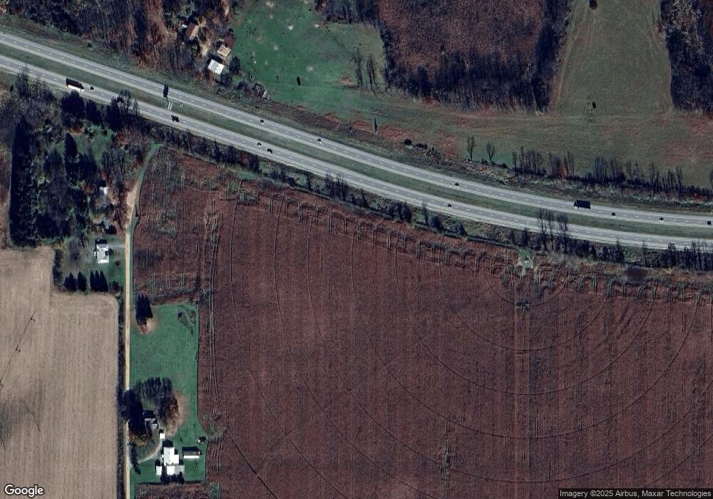
Map
Nearby Homes
- 45717 64th Ave
- 66598 Territorial Rd
- 62619 N County Road 365
- 47404 Red Arrow Hwy
- 44096 Woodman Dr
- 58008 N County Road 365
- 0 Crandall Pkwy Unit 16 24019285
- 0 Crandall Pkwy Unit 6 24019278
- 0 Crandall Pkwy Unit 22 24019310
- 0 Crandall Pkwy Unit 7 24019281
- 0 Crandall Pkwy Unit 8 24019283
- 0 Crandall Pkwy Unit 15 24019284
- 0 Crandall Pkwy Unit 17 24019287
- 0 Crandall Pkwy Unit 20 24019293
- 0 Crandall Pkwy Unit 19 24019290
- 0 Crandall Pkwy Unit 28 24019295
- 0 Crandall Pkwy Unit 5 24019277
- 0 Crandall Pkwy Unit 23 24019313
- 0 Crandall Pkwy Unit 4 24019275
- 0 S Paw St
- 62852 Territorial Rd
- 62734 Territorial Rd
- 62200 Territorial Rd
- 47209 64th Ave
- 46914 64th Ave
- 61483 Territorial Rd
- 48984 64th Ave
- 46923 64th Ave
- 46840 64th Ave
- 16 Lakeview Dr
- 19 Lakeview Dr
- 14 Lakeview Dr
- 18 Lakeview Dr
- 15 Lakeview Dr
- 17 Lakeview Dr
- 0 Lakeview Dr
- 60929 Territorial Rd
- Parcel A Territorial Rd
- 68413 Territorial Rd
- 0 Territorial Rd
Your Personal Tour Guide
Ask me questions while you tour the home.