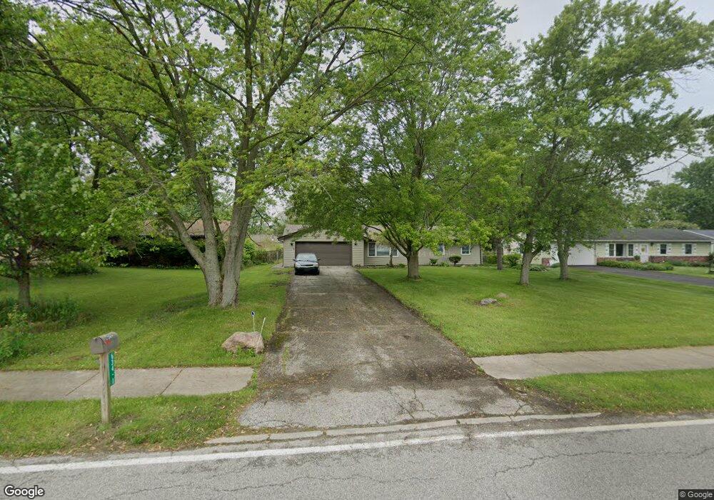
634-1 Mccool Rd Valparaiso, IN 46385
Estimated Value: $204,000 - $245,000
3
Beds
1
Bath
1,410
Sq Ft
$159/Sq Ft
Est. Value
About This Home
This home is located at 634-1 Mccool Rd, Valparaiso, IN 46385 and is currently estimated at $223,720, approximately $158 per square foot. 634-1 Mccool Rd is a home located in Porter County with nearby schools including South Haven Elementary School, William Fegely Middle School, and Portage High School.
Ownership History
Date
Name
Owned For
Owner Type
Purchase Details
Closed on
Jul 21, 2021
Sold by
Bermingham Ronald and Wulf Amy Marie
Bought by
Wulf Amy Marie
Current Estimated Value
Home Financials for this Owner
Home Financials are based on the most recent Mortgage that was taken out on this home.
Original Mortgage
$140,000
Outstanding Balance
$125,770
Interest Rate
2.96%
Mortgage Type
New Conventional
Estimated Equity
$97,950
Purchase Details
Closed on
Oct 10, 2017
Sold by
Budd Steven A
Bought by
Bermingham Ronald and Wulf Amrie
Create a Home Valuation Report for This Property
The Home Valuation Report is an in-depth analysis detailing your home's value as well as a comparison with similar homes in the area
Home Values in the Area
Average Home Value in this Area
Purchase History
| Date | Buyer | Sale Price | Title Company |
|---|---|---|---|
| Wulf Amy Marie | -- | Liberty Title & Escrow Co | |
| Bermingham Ronald | -- | None Available |
Source: Public Records
Mortgage History
| Date | Status | Borrower | Loan Amount |
|---|---|---|---|
| Open | Wulf Amy Marie | $140,000 |
Source: Public Records
Tax History
| Year | Tax Paid | Tax Assessment Tax Assessment Total Assessment is a certain percentage of the fair market value that is determined by local assessors to be the total taxable value of land and additions on the property. | Land | Improvement |
|---|---|---|---|---|
| 2025 | $1,579 | $209,200 | $31,300 | $177,900 |
| 2024 | $1,468 | $193,700 | $31,300 | $162,400 |
| 2023 | $1,403 | $187,700 | $29,600 | $158,100 |
| 2022 | $1,224 | $169,400 | $29,600 | $139,800 |
| 2021 | $1,128 | $141,100 | $29,600 | $111,500 |
| 2020 | $1,013 | $129,600 | $26,900 | $102,700 |
| 2019 | $950 | $122,000 | $26,900 | $95,100 |
| 2018 | $927 | $119,000 | $26,900 | $92,100 |
| 2017 | $779 | $118,100 | $26,900 | $91,200 |
| 2016 | $771 | $117,800 | $37,100 | $80,700 |
| 2014 | $808 | $114,000 | $34,600 | $79,400 |
| 2013 | -- | $109,700 | $35,300 | $74,400 |
Source: Public Records
Map
Nearby Homes
- 419 Portland Rd
- 411 Prescott Rd
- 395 Plymouth Rd Unit B
- 682 Dearborn Rd Unit A
- 677 N 450 W
- 672 Coventry Ct
- 695 Cross Meadows Dr
- 382 Pinewood Dr
- 403 Sherman Dr
- 726 Fremont Rd
- 372 Raven Ct
- 536 Riviera Rd
- 726-1 Imperial Rd
- 730-1 Juniper Rd
- 373 W Millport Dr
- 397 W Millport Dr
- 733-1 Imperial Rd
- 723 Fox River Rd
- 740 Imperial Rd
- 722-1 Capitol Rd
Your Personal Tour Guide
Ask me questions while you tour the home.