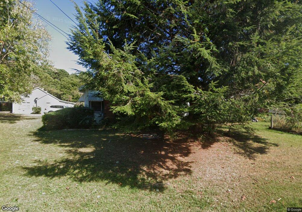
634 Atlantic Ave Bremen, GA 30110
Estimated Value: $185,000 - $241,000
3
Beds
1
Bath
1,180
Sq Ft
$176/Sq Ft
Est. Value
About This Home
This home is located at 634 Atlantic Ave, Bremen, GA 30110 and is currently estimated at $207,224, approximately $175 per square foot. 634 Atlantic Ave is a home located in Haralson County with nearby schools including Jones Elementary School, Bremen 4th & 5th Grade Academy, and Bremen Middle School.
Ownership History
Date
Name
Owned For
Owner Type
Purchase Details
Closed on
Apr 3, 2020
Sold by
Wade James Michael
Bought by
Wekiva Properties Llc
Current Estimated Value
Purchase Details
Closed on
Nov 1, 2018
Sold by
Wade James Truman
Bought by
Wade James Michael
Purchase Details
Closed on
Oct 5, 2018
Sold by
Www Wade Llc
Bought by
Wade James Truman
Purchase Details
Closed on
Apr 20, 2009
Sold by
Wade James Truman and James Michael
Bought by
Www Wade Llc
Purchase Details
Closed on
Oct 9, 2006
Sold by
Wade James Truman
Bought by
J Wade Inc
Purchase Details
Closed on
Sep 14, 2006
Sold by
Adams Linda Sue
Bought by
Wade James Truman
Purchase Details
Closed on
Feb 11, 1998
Sold by
Adams L V
Bought by
Adams Linda Sue
Create a Home Valuation Report for This Property
The Home Valuation Report is an in-depth analysis detailing your home's value as well as a comparison with similar homes in the area
Home Values in the Area
Average Home Value in this Area
Purchase History
| Date | Buyer | Sale Price | Title Company |
|---|---|---|---|
| Wekiva Properties Llc | -- | -- | |
| Wade James Michael | -- | -- | |
| Wade James Truman | -- | -- | |
| Www Wade Llc | -- | -- | |
| J Wade Inc | $65,300 | -- | |
| Wade James Truman | $125,000 | -- | |
| Adams Linda Sue | -- | -- |
Source: Public Records
Tax History Compared to Growth
Tax History
| Year | Tax Paid | Tax Assessment Tax Assessment Total Assessment is a certain percentage of the fair market value that is determined by local assessors to be the total taxable value of land and additions on the property. | Land | Improvement |
|---|---|---|---|---|
| 2024 | $1,127 | $40,122 | $20,000 | $20,122 |
| 2023 | $358 | $42,603 | $20,000 | $22,603 |
| 2022 | $366 | $37,998 | $20,000 | $17,998 |
| 2021 | $375 | $37,164 | $20,000 | $17,164 |
| 2020 | $385 | $37,950 | $20,000 | $17,950 |
| 2019 | $356 | $33,883 | $20,000 | $13,883 |
| 2018 | $361 | $33,883 | $20,000 | $13,883 |
| 2017 | $387 | $32,717 | $20,000 | $12,717 |
| 2016 | $436 | $35,104 | $20,000 | $15,104 |
| 2015 | $436 | $34,986 | $20,000 | $14,986 |
| 2014 | $471 | $35,254 | $20,000 | $15,254 |
Source: Public Records
Map
Nearby Homes
- 6315 Highway 78
- 522 Atlantic Ave
- 0 Sewell Rd Unit 10624236
- 0 Sewell Rd Unit 7665305
- 735 Tallapoosa St W
- 225 Edwards St
- 0 Mt Zion St Unit 7399245
- 273 Sewell Rd
- 330 Kensington Cir
- 319 Stonebridge Blvd
- 321 Stonebridge Blvd
- 311 Kensington Cir
- 153 Crest Pointe
- 201 Stonebridge Blvd
- 138 Crest Pointe
- 707 Mill Stone Way
- 223 Gordon St
- 0 Stonebridge Blvd Unit 143588
- 630 Atlantic Ave
- 700 Atlantic Ave
- 704 Atlantic Ave
- 704 Atlantic Ave
- 150 Robinson St
- 626 Atlantic Ave
- 148 Robinson St
- 152 Robinson St
- 706 Atlanta St
- 622 Atlantic Ave
- 621 Atlantic Ave
- 140 Robinson St
- 718 Atlanta St
- 217 Parham St
- 226 Parham St
- 134 Robinson St
- 0 Robinson St
- 613 Tallapoosa St W
- 138 Robinson St
- 128 Robinson St