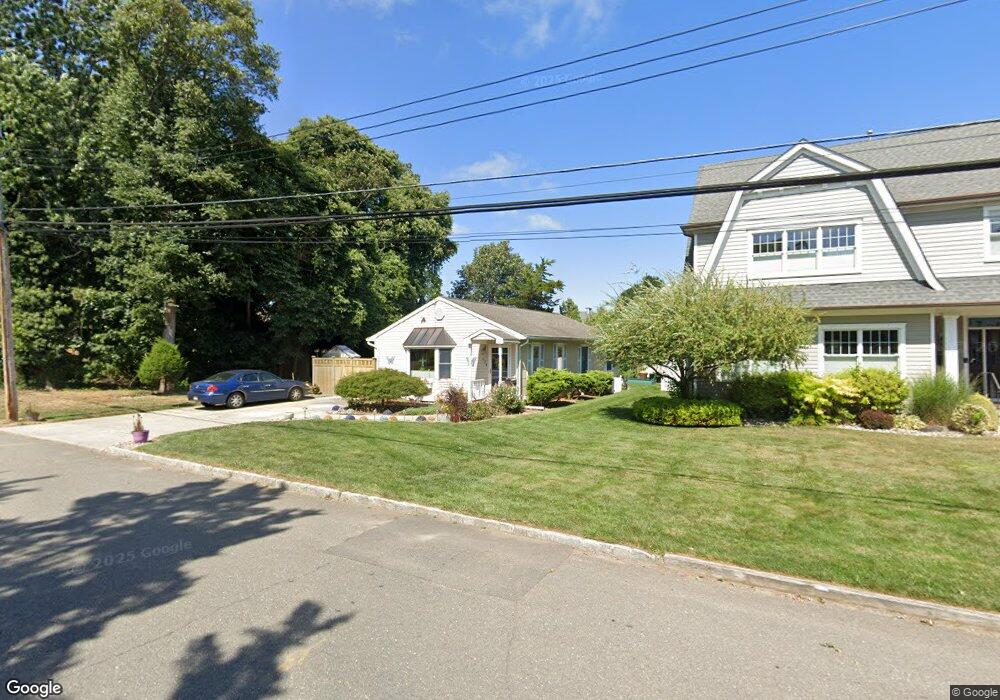
634 Borrie Ave Brielle, NJ 08730
Estimated Value: $451,000 - $733,000
3
Beds
2
Baths
1,064
Sq Ft
$590/Sq Ft
Est. Value
About This Home
This home is located at 634 Borrie Ave, Brielle, NJ 08730 and is currently estimated at $627,548, approximately $589 per square foot. 634 Borrie Ave is a home located in Monmouth County with nearby schools including Brielle Elementary School and St. Peter School.
Ownership History
Date
Name
Owned For
Owner Type
Purchase Details
Closed on
Mar 19, 2008
Sold by
Nostrand Bruce and Nostrand Patricia Hudgins
Bought by
Nostrand Bruce and Nostrand Patricia Hudgins
Current Estimated Value
Purchase Details
Closed on
Mar 19, 1995
Sold by
Schride Assoc
Bought by
Nostrand Bruce
Create a Home Valuation Report for This Property
The Home Valuation Report is an in-depth analysis detailing your home's value as well as a comparison with similar homes in the area
Home Values in the Area
Average Home Value in this Area
Purchase History
| Date | Buyer | Sale Price | Title Company |
|---|---|---|---|
| Nostrand Bruce | -- | None Available | |
| Nostrand Bruce | $80,000 | -- |
Source: Public Records
Tax History
| Year | Tax Paid | Tax Assessment Tax Assessment Total Assessment is a certain percentage of the fair market value that is determined by local assessors to be the total taxable value of land and additions on the property. | Land | Improvement |
|---|---|---|---|---|
| 2025 | $7,179 | $596,700 | $452,600 | $144,100 |
| 2024 | $6,864 | $578,500 | $437,000 | $141,500 |
| 2023 | $6,864 | $534,200 | $396,000 | $138,200 |
| 2022 | $6,259 | $448,200 | $321,000 | $127,200 |
| 2021 | $6,259 | $409,200 | $296,000 | $113,200 |
| 2020 | $6,247 | $381,600 | $271,000 | $110,600 |
| 2019 | $6,146 | $381,000 | $271,000 | $110,000 |
| 2018 | $6,142 | $375,900 | $271,000 | $104,900 |
| 2017 | $6,164 | $372,700 | $271,000 | $101,700 |
| 2016 | $6,110 | $370,100 | $271,000 | $99,100 |
| 2015 | $6,080 | $365,600 | $271,000 | $94,600 |
| 2014 | $4,901 | $314,600 | $245,500 | $69,100 |
Source: Public Records
Map
Nearby Homes
- 308 South St
- 504 Old Bridge Rd
- 14 Lebanon Dr
- 612 Union Ave
- 130 Union Ave
- 323-325 Fisk Ave
- 329 Fisk Ave
- 642 Rankin Rd
- 10 Waters Edge
- 816 Rathjen Rd
- 607 Cherokee Ln
- 11 Pearce Ave
- 51-53 Main St
- 846 William Dr
- 1041 Oval Rd Unit 5
- 404 Perrine Blvd
- 405 Perrine Blvd
- 22 Crescent Dr
- 65 Pearce Ave
- 49 Wyckoff Ave
- 632 Borrie Ave
- 630 Borrie Ave
- 639 Woodland Ave
- 633 Borrie Ave
- 633 Woodland Ave
- 637 Borrie Ave
- 637 Woodland Ave
- 640 Borrie Ave
- 641 Borrie Ave
- 641 Woodland Ave
- 643 Borrie Ave
- 403 Morgan Pkwy
- 643 Woodland Ave
- 402 Morgan Pkwy
- 644 Borrie Ave
- 630 Woodland Ave
- 628 Woodland Ave
- 626 Borrie Ave
- 629 Woodland Ave
- 632 Woodland Ave
Your Personal Tour Guide
Ask me questions while you tour the home.