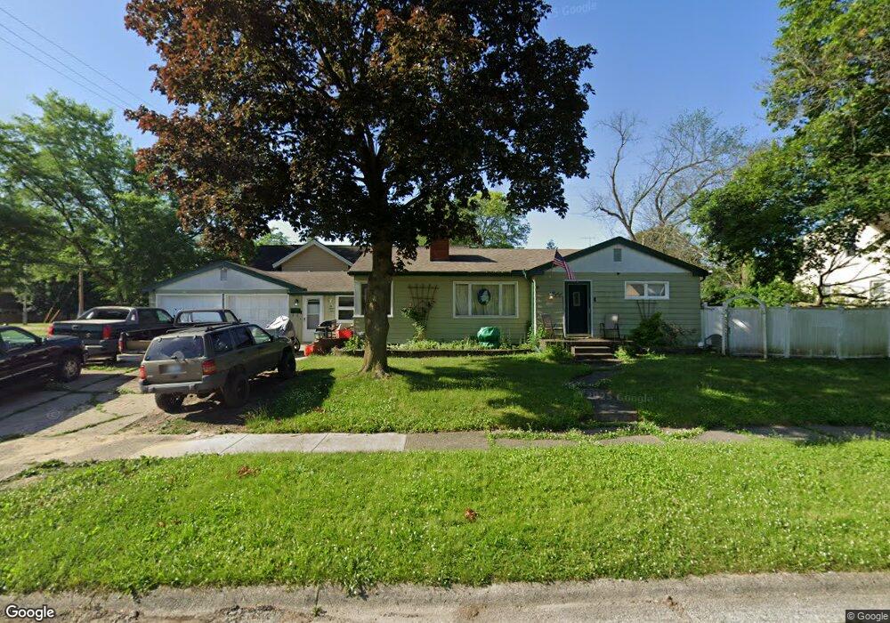
634 Burroughs Ave Flint, MI 48507
Circle Drive NeighborhoodEstimated Value: $95,000 - $129,611
Studio
2
Baths
1,598
Sq Ft
$69/Sq Ft
Est. Value
About This Home
This home is located at 634 Burroughs Ave, Flint, MI 48507 and is currently estimated at $110,903, approximately $69 per square foot. 634 Burroughs Ave is a home located in Genesee County with nearby schools including Freeman Elementary School, Flint Southwestern Classical Academy, and Burton Glen Charter Academy.
Ownership History
Date
Name
Owned For
Owner Type
Purchase Details
Closed on
May 23, 2000
Sold by
Ellinghausen Kim M
Bought by
Ellinghausen John C
Current Estimated Value
Home Financials for this Owner
Home Financials are based on the most recent Mortgage that was taken out on this home.
Original Mortgage
$64,000
Interest Rate
10.26%
Mortgage Type
Purchase Money Mortgage
Create a Home Valuation Report for This Property
The Home Valuation Report is an in-depth analysis detailing your home's value as well as a comparison with similar homes in the area
Home Values in the Area
Average Home Value in this Area
Purchase History
| Date | Buyer | Sale Price | Title Company |
|---|---|---|---|
| Ellinghausen John C | -- | Fidelity National Title Ins |
Source: Public Records
Mortgage History
| Date | Status | Borrower | Loan Amount |
|---|---|---|---|
| Closed | Ellinghausen John C | $64,000 |
Source: Public Records
Tax History
| Year | Tax Paid | Tax Assessment Tax Assessment Total Assessment is a certain percentage of the fair market value that is determined by local assessors to be the total taxable value of land and additions on the property. | Land | Improvement |
|---|---|---|---|---|
| 2025 | $1,235 | $59,100 | $0 | $0 |
| 2024 | $1,111 | $52,500 | $0 | $0 |
| 2023 | $1,086 | $48,300 | $0 | $0 |
| 2022 | $0 | $39,700 | $0 | $0 |
| 2021 | $1,134 | $38,800 | $0 | $0 |
| 2020 | $1,014 | $30,800 | $0 | $0 |
| 2019 | $983 | $24,200 | $0 | $0 |
| 2018 | $1,002 | $21,000 | $0 | $0 |
| 2017 | $972 | $0 | $0 | $0 |
| 2016 | $965 | $0 | $0 | $0 |
| 2015 | -- | $0 | $0 | $0 |
| 2014 | -- | $0 | $0 | $0 |
| 2012 | -- | $19,900 | $0 | $0 |
Source: Public Records
Map
Nearby Homes
- 621 Burroughs Ave
- 630 Buckingham Ave
- 621 Lochhead Ave
- 617 McKeighan Ave
- 818 Dell Ave
- 1111 Lochhead Ave
- 802 McKeighan Ave
- 4133 Custer Ave
- 530 McKeighan Ave
- 4127 Custer Ave
- 416 Burroughs Ave
- 3505 Comanche Ave
- 4205 Red Arrow Rd
- 4424 Cheyenne Ave
- 361 Buckingham Ave
- 352 Buckingham Ave
- 326 Burroughs Ave
- 3115 Circle Dr
- 3209 Shawnee Ave
- 3056 Shaw St
- 630 Burroughs Ave
- 4008 Ogema Ave
- 4014 Ogema Ave
- 3916 Ogema Ave
- 626 Burroughs Ave
- 4018 Ogema Ave
- 629 Leta Ave
- 629 Burroughs Ave
- 622 Burroughs Ave
- 3914 Ogema Ave
- 625 Leta Ave
- 625 Burroughs Ave
- 3915 Ogema Ave
- 3908 Ogema Ave
- 621 Leta Ave
- 618 Burroughs Ave
- 3911 Ogema Ave
- 617 Leta Ave
- 617 Burroughs Ave
- 3902 Ogema Ave
Your Personal Tour Guide
Ask me questions while you tour the home.