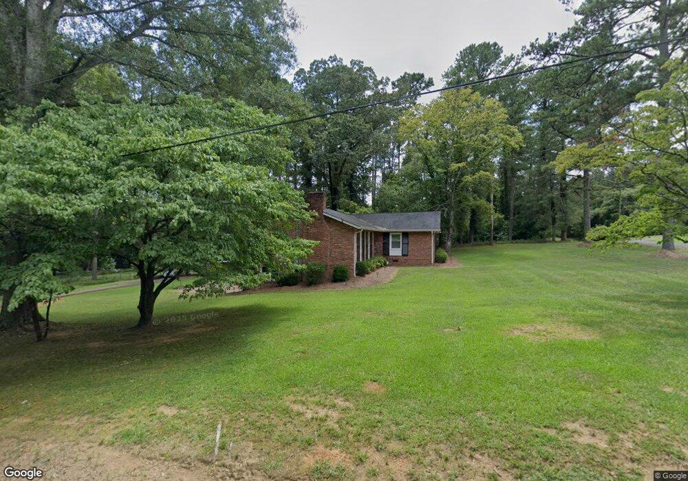
634 Farrar Dr Unit 5,6,7,8 Summerville, GA 30747
Estimated Value: $283,000 - $358,000
3
Beds
3
Baths
3,249
Sq Ft
$95/Sq Ft
Est. Value
About This Home
This home is located at 634 Farrar Dr Unit 5,6,7,8, Summerville, GA 30747 and is currently estimated at $308,686, approximately $95 per square foot. 634 Farrar Dr Unit 5,6,7,8 is a home located in Chattooga County with nearby schools including Chattooga High School.
Ownership History
Date
Name
Owned For
Owner Type
Purchase Details
Closed on
Sep 9, 2014
Sold by
Brown Stacey
Bought by
Lee Bryn Furman
Current Estimated Value
Home Financials for this Owner
Home Financials are based on the most recent Mortgage that was taken out on this home.
Original Mortgage
$102,125
Outstanding Balance
$78,270
Interest Rate
4.17%
Mortgage Type
New Conventional
Estimated Equity
$230,416
Purchase Details
Closed on
Feb 14, 2011
Sold by
Bagley Frances
Bought by
Brown Stacey
Create a Home Valuation Report for This Property
The Home Valuation Report is an in-depth analysis detailing your home's value as well as a comparison with similar homes in the area
Home Values in the Area
Average Home Value in this Area
Purchase History
| Date | Buyer | Sale Price | Title Company |
|---|---|---|---|
| Lee Bryn Furman | $107,500 | -- | |
| Brown Stacey | $90,000 | -- |
Source: Public Records
Mortgage History
| Date | Status | Borrower | Loan Amount |
|---|---|---|---|
| Open | Lee Bryn Furman | $102,125 |
Source: Public Records
Tax History Compared to Growth
Tax History
| Year | Tax Paid | Tax Assessment Tax Assessment Total Assessment is a certain percentage of the fair market value that is determined by local assessors to be the total taxable value of land and additions on the property. | Land | Improvement |
|---|---|---|---|---|
| 2024 | $1,711 | $84,968 | $7,200 | $77,768 |
| 2023 | $2,081 | $84,968 | $7,200 | $77,768 |
| 2022 | $1,679 | $68,531 | $3,529 | $65,002 |
| 2021 | $1,401 | $52,632 | $4,928 | $47,704 |
| 2020 | $1,471 | $52,632 | $4,928 | $47,704 |
| 2019 | $1,510 | $52,632 | $4,928 | $47,704 |
| 2018 | $1,451 | $52,632 | $4,928 | $47,704 |
| 2017 | $1,528 | $52,632 | $4,928 | $47,704 |
| 2016 | $1,266 | $49,499 | $4,928 | $44,571 |
| 2015 | -- | $44,723 | $4,928 | $39,795 |
| 2014 | -- | $40,744 | $4,928 | $35,816 |
| 2013 | -- | $40,743 | $4,928 | $35,815 |
Source: Public Records
Map
Nearby Homes
- 100 Henry Branch Rd
- 280 Nixon St
- 300 Nixon St
- 755 Highland Ave
- 0 Marvin Ave Unit 10301924
- 562 Highland Ave
- 0 Lake Wanda Rita Rd Unit 10515342
- 0 Lake Wanda Rita Rd Unit 10614318
- 622 Scoggins St
- 16 Bittings Ave
- 206 Hammond Dr
- 131 Greenhill Memorial Garden Rd
- 155 Scoggins St
- 98 Magnolia Ridge
- 10117 Commerce St
- 46 Megginson Dr
- 585 Greeson St
- 12425 U S 27
- 12480 Highway 27
- 60 Union St
- 634 Farrar Dr
- 16 Nixon St
- 16 Nixon St Unit TRACT
- 0 Country View Dr Unit 20058489
- 52 Nixon St
- 99 Nixon St
- 166 Nixon St
- 706 Farrar Dr
- 736 Farrar Dr
- 266 Virginia Dr
- 233 Old River Rd
- 108 Virginia Dr
- 220 Nixon St
- 164 Virginia Dr
- 703 Farrar Dr
- 731 Farrar Dr
- 754 Farrar Dr
- 275 Old River Rd
- 111 Red Horse Rd
- 501 Farrar Dr