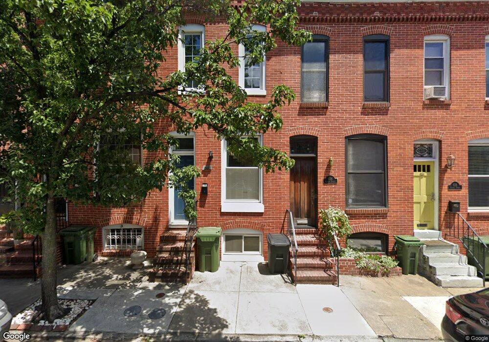
634 Harvey St Baltimore, MD 21230
Riverside NeighborhoodEstimated Value: $331,178 - $493,000
2
Beds
1
Bath
1,128
Sq Ft
$365/Sq Ft
Est. Value
About This Home
This home is located at 634 Harvey St, Baltimore, MD 21230 and is currently estimated at $412,089, approximately $365 per square foot. 634 Harvey St is a home located in Baltimore City with nearby schools including Francis Scott Key Elementary/Middle School, Booker T. Washington Middle School, and Paul Laurence Dunbar Community High School.
Ownership History
Date
Name
Owned For
Owner Type
Purchase Details
Closed on
Jun 24, 2009
Sold by
Mcguire Colleen
Bought by
Nguyen Annie H
Current Estimated Value
Purchase Details
Closed on
Sep 21, 2000
Sold by
Hasenfus Thomas Glenn
Bought by
Hasenfus Thomas Glenn
Purchase Details
Closed on
Sep 30, 1998
Sold by
Mcallen William F
Bought by
Hasenfus Thomas Glenn and Hasenfus Anne Marie
Create a Home Valuation Report for This Property
The Home Valuation Report is an in-depth analysis detailing your home's value as well as a comparison with similar homes in the area
Home Values in the Area
Average Home Value in this Area
Purchase History
| Date | Buyer | Sale Price | Title Company |
|---|---|---|---|
| Nguyen Annie H | $269,900 | -- | |
| Hasenfus Thomas Glenn | -- | -- | |
| Mcguire Colleen | $140,000 | -- | |
| Hasenfus Thomas Glenn | $122,000 | -- |
Source: Public Records
Tax History Compared to Growth
Tax History
| Year | Tax Paid | Tax Assessment Tax Assessment Total Assessment is a certain percentage of the fair market value that is determined by local assessors to be the total taxable value of land and additions on the property. | Land | Improvement |
|---|---|---|---|---|
| 2025 | $6,438 | $274,600 | -- | -- |
| 2024 | $6,438 | $274,100 | $0 | $0 |
| 2023 | $6,426 | $273,600 | $80,000 | $193,600 |
| 2022 | $6,370 | $269,900 | $0 | $0 |
| 2021 | $6,282 | $266,200 | $0 | $0 |
| 2020 | $5,679 | $262,500 | $80,000 | $182,500 |
| 2019 | $5,618 | $261,167 | $0 | $0 |
| 2018 | $5,676 | $259,833 | $0 | $0 |
| 2017 | $5,711 | $258,500 | $0 | $0 |
| 2016 | $6,151 | $251,133 | $0 | $0 |
| 2015 | $6,151 | $243,767 | $0 | $0 |
| 2014 | $6,151 | $236,400 | $0 | $0 |
Source: Public Records
Map
Nearby Homes
- 616 Hyson St
- 628 E Fort Ave
- 635 E Fort Ave
- 731 E Fort Ave
- 545 E Gittings St
- 516 E Fort Ave
- 1516 Boyle St
- 507 E Gittings St
- 1536 Boyle St
- 1625 Webster St
- 1239 Harbor Island Walk
- 507 E Randall St
- 1625 Belt St
- 1254 Harbor Island Walk
- 1514 Covington St
- 434 E Fort Ave
- 416 E Clement St
- 410 E Fort Ave
- 23 Pierside Dr Unit 112
- 23 Pierside Dr Unit 429
- 636 Harvey St
- 632 Harvey St
- 638 Harvey St
- 640 Harvey St
- 630 Harvey St
- 642 Harvey St
- 628 Harvey St
- 644 Harvey St
- 626 Harvey St
- 646 Harvey St
- 649 E Clement St
- 647 E Clement St
- 651 E Clement St
- 645 E Clement St
- 653 E Clement St
- 643 E Clement St
- 655 E Clement St
- 657 E Clement St
- 659 E Clement St
- 637 E Clement St