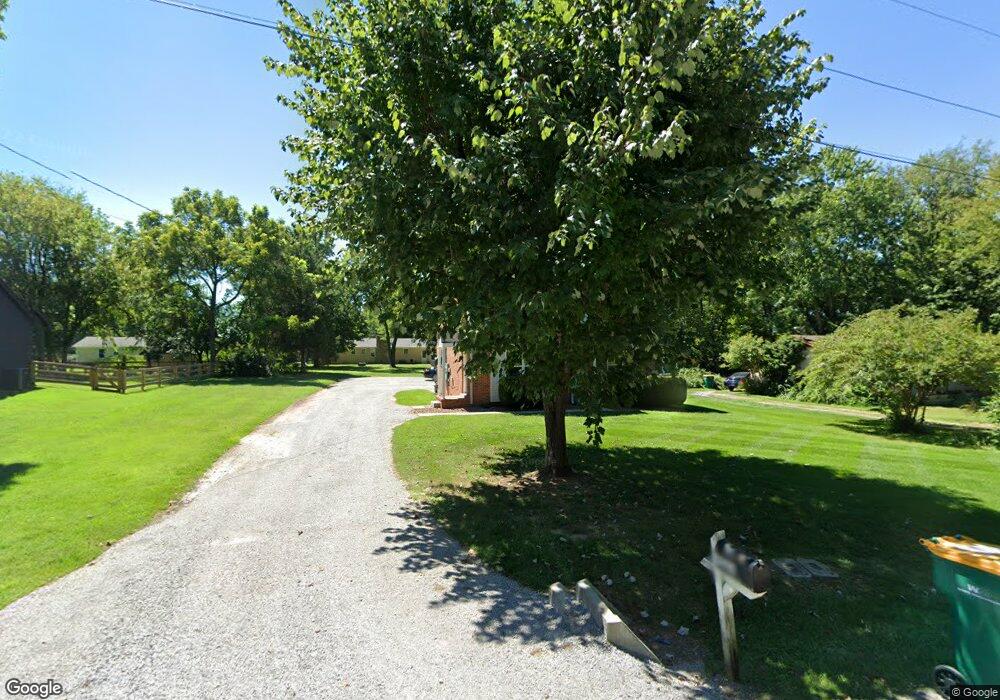
634 Lancaster Dr Unit "A" Spring Hill, TN 37174
Estimated Value: $325,592 - $340,000
About This Home
This home is located at 634 Lancaster Dr Unit "A", Spring Hill, TN 37174 and is currently estimated at $334,197, approximately $168 per square foot. 634 Lancaster Dr Unit "A" is a home located in Maury County with nearby schools including Spring Hill Elementary School, Spring Hill Middle School, and Spring Hill High School.
Ownership History
We collect this data history from publicly available records. To have your information removed, we recommend requesting removal directly through your county’s website.
Purchase Details
Home Financials for this Owner
Home Financials are based on the most recent Mortgage that was taken out on this home.Purchase Details
Home Financials for this Owner
Home Financials are based on the most recent Mortgage that was taken out on this home.Purchase Details
Purchase Details
Purchase Details
Purchase Details
Purchase Details
Purchase Details
Purchase Details
Home Values in the Area
Average Home Value in this Area
Purchase History
We collect this data history from publicly available records. To have your information removed, we recommend requesting removal directly through your county’s website.
| Date | Buyer | Sale Price | Title Company |
|---|---|---|---|
| $330,000 | Homeland Title | ||
| $145,000 | Homeland Title Llc | ||
| -- | None Available | ||
| -- | -- | ||
| $28,500 | -- | ||
| $32,500 | -- | ||
| -- | -- | ||
| $107,000 | -- | ||
| -- | -- |
Mortgage History
We collect this data history from publicly available records. To have your information removed, we recommend requesting removal directly through your county’s website.
| Date | Status | Borrower | Loan Amount |
|---|---|---|---|
| Open | $247,500 | ||
| Previous Owner | $116,000 |
Tax History
We collect this data history from publicly available records. To have your information removed, we recommend requesting removal directly through your county’s website.
| Year | Tax Paid | Tax Assessment Tax Assessment Total Assessment is a certain percentage of the fair market value that is determined by local assessors to be the total taxable value of land and additions on the property. | Land | Improvement |
|---|---|---|---|---|
| 2025 | $1,346 | $91,120 | $14,400 | $76,720 |
| 2024 | $1,346 | $91,120 | $14,400 | $76,720 |
| 2023 | $1,346 | $91,120 | $14,400 | $76,720 |
| 2022 | $2,413 | $91,120 | $14,400 | $76,720 |
| 2021 | $2,413 | $52,120 | $9,600 | $42,520 |
| 2020 | $1,666 | $52,120 | $9,600 | $42,520 |
| 2019 | $896 | $52,120 | $9,600 | $42,520 |
| 2018 | $313 | $52,120 | $9,600 | $42,520 |
| 2017 | $1,451 | $42,600 | $9,600 | $33,000 |
| 2016 | $1,452 | $42,600 | $9,600 | $33,000 |
| 2015 | $1,362 | $42,600 | $9,600 | $33,000 |
| 2014 | $1,362 | $42,600 | $9,600 | $33,000 |
Map
- 112 Westview Dr
- 421 Bruce Dr
- 2050 Autumn Ridge Way
- 2009 Golden Ct
- 2057 Autumn Ridge Way
- 4009 Cardigan Ln
- 805 Jones Cir
- 117 Ruben Rd
- 1637 Witt Hill Dr
- 700 Meade Dr
- 2014 Kestrel Ln
- 2016 Kestrel Ln
- 2020 Kestrel Ln
- 809 Belle Dr
- 1064 Gadwall Ln
- 2036 Kestrel Ln
- 1058 Gadwall Ln
- 1056 Gadwall Ln
- 1054 Gadwall Ln
- 1816 Elizabeth Ct
- 634 Lancaster Dr
- 638 Lancaster Dr
- 630 Lancaster Dr
- 503 Chester Ave
- 623 Lancaster Dr
- 640 Lancaster Dr
- 505 Chester Ave
- 801 Kincaid St
- 507 Chester Ave
- 644 Lancaster Dr Unit 646
- 646 Lancaster Dr
- 644 Lancaster Dr Unit 644
- 621 Lancaster Dr
- 644 Lancaster Dr 644 & 646
- 616 Lancaster Dr
- 2455 Depot St
- 616 Lancaster Dr
- 803 Kincaid St
- 2445 Depot St
- 509 Chester Ave
Ask me questions while you tour the home.