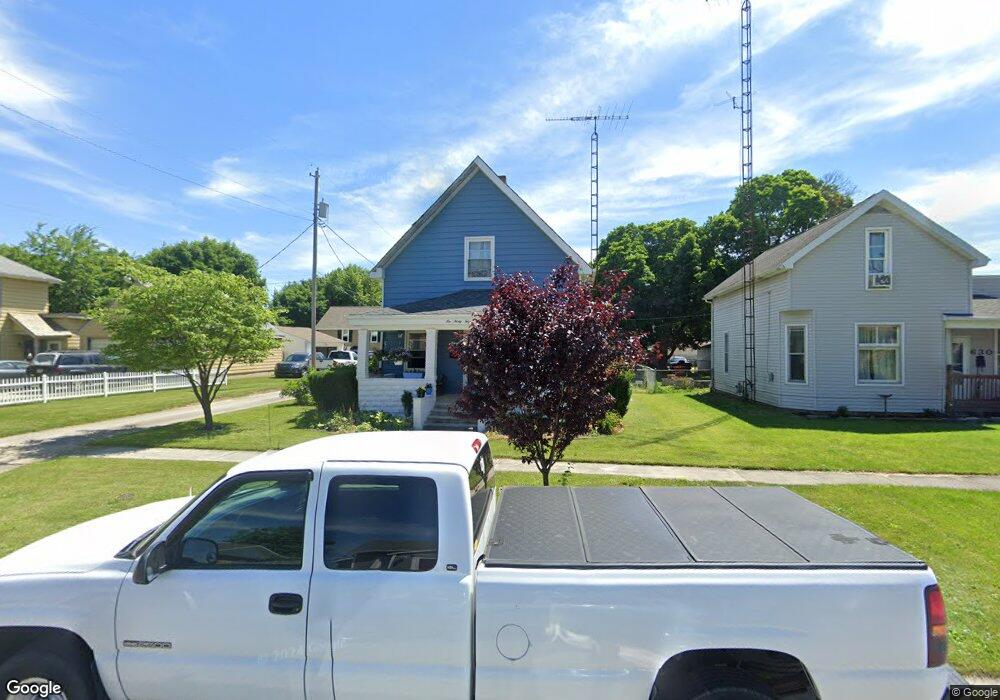
634 Maple St Fostoria, OH 44830
Estimated Value: $109,000 - $141,339
3
Beds
2
Baths
1,491
Sq Ft
$87/Sq Ft
Est. Value
About This Home
This home is located at 634 Maple St, Fostoria, OH 44830 and is currently estimated at $129,585, approximately $86 per square foot. 634 Maple St is a home located in Seneca County with nearby schools including Fostoria Intermediate Elementary School and Fostoria Junior/Senior High School.
Ownership History
Date
Name
Owned For
Owner Type
Purchase Details
Closed on
Mar 7, 2006
Sold by
Ritter Lonnie L
Bought by
Saldusky Justin E
Current Estimated Value
Home Financials for this Owner
Home Financials are based on the most recent Mortgage that was taken out on this home.
Original Mortgage
$64,000
Outstanding Balance
$44,584
Interest Rate
10.5%
Mortgage Type
Adjustable Rate Mortgage/ARM
Estimated Equity
$85,001
Purchase Details
Closed on
Nov 18, 2002
Sold by
Ritter Lonnie L
Bought by
Ritter Lonnie L
Purchase Details
Closed on
Jan 14, 2002
Sold by
Hicks Timothy W
Bought by
Ritter Lonnie L
Purchase Details
Closed on
Mar 16, 1998
Sold by
Goetz Gary Lynn
Bought by
Hicks Timothy W
Create a Home Valuation Report for This Property
The Home Valuation Report is an in-depth analysis detailing your home's value as well as a comparison with similar homes in the area
Home Values in the Area
Average Home Value in this Area
Purchase History
| Date | Buyer | Sale Price | Title Company |
|---|---|---|---|
| Saldusky Justin E | $80,000 | Heartland Title | |
| Ritter Lonnie L | -- | -- | |
| Ritter Lonnie L | $69,000 | -- | |
| Hicks Timothy W | $64,000 | -- |
Source: Public Records
Mortgage History
| Date | Status | Borrower | Loan Amount |
|---|---|---|---|
| Open | Saldusky Justin E | $64,000 |
Source: Public Records
Tax History Compared to Growth
Tax History
| Year | Tax Paid | Tax Assessment Tax Assessment Total Assessment is a certain percentage of the fair market value that is determined by local assessors to be the total taxable value of land and additions on the property. | Land | Improvement |
|---|---|---|---|---|
| 2024 | $1,627 | $29,640 | $4,280 | $25,360 |
| 2023 | $1,626 | $29,640 | $4,280 | $25,360 |
| 2022 | $1,463 | $23,600 | $3,550 | $20,050 |
| 2021 | $1,493 | $23,600 | $3,550 | $20,050 |
| 2020 | $1,499 | $23,601 | $3,549 | $20,052 |
| 2019 | $1,334 | $22,222 | $3,427 | $18,795 |
| 2018 | $1,454 | $22,222 | $3,427 | $18,795 |
| 2017 | $1,324 | $22,222 | $3,427 | $18,795 |
| 2016 | $1,214 | $20,486 | $3,651 | $16,835 |
| 2015 | $1,197 | $20,486 | $3,651 | $16,835 |
| 2014 | $1,146 | $20,486 | $3,651 | $16,835 |
| 2013 | $1,319 | $22,100 | $3,966 | $18,134 |
Source: Public Records
Map
Nearby Homes
- 633 Maple St
- 540 N Poplar St
- 220 E High St
- 723 N Union St
- 520 N Union St
- 931 N Union St
- 827 Buckley St
- 207 W Culbertson St
- 321 Mcdougal St
- 711 Circle Dr
- 703 Glenwood Ave
- 892 N Countyline St
- 900 N Countyline St
- 481 Beverly Dr
- 203 N Union St
- 1324 N Union St
- 435 Park Ave
- 412 E Center St
- 133 E South St
- 0 W South Route 12