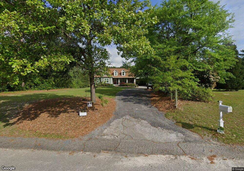
634 Merchant Lake Rd West Columbia, SC 29170
Estimated Value: $273,000 - $516,000
4
Beds
3
Baths
3,096
Sq Ft
$131/Sq Ft
Est. Value
About This Home
This home is located at 634 Merchant Lake Rd, West Columbia, SC 29170 and is currently estimated at $406,746, approximately $131 per square foot. 634 Merchant Lake Rd is a home located in Lexington County with nearby schools including Riverbank Elementary, Northside Middle, and Brookland-Cayce High School.
Ownership History
Date
Name
Owned For
Owner Type
Purchase Details
Closed on
Oct 12, 2022
Sold by
Giles Bradford W
Bought by
Brad And Shelley Giles Joint Revocable Trust
Current Estimated Value
Purchase Details
Closed on
Jun 16, 2006
Sold by
Smith William Jekyll
Bought by
Giles Bradford W and Giles Shelley T
Home Financials for this Owner
Home Financials are based on the most recent Mortgage that was taken out on this home.
Original Mortgage
$276,000
Interest Rate
6.57%
Mortgage Type
New Conventional
Create a Home Valuation Report for This Property
The Home Valuation Report is an in-depth analysis detailing your home's value as well as a comparison with similar homes in the area
Home Values in the Area
Average Home Value in this Area
Purchase History
| Date | Buyer | Sale Price | Title Company |
|---|---|---|---|
| Brad And Shelley Giles Joint Revocable Trust | -- | -- | |
| Giles Bradford W | $345,000 | None Available |
Source: Public Records
Mortgage History
| Date | Status | Borrower | Loan Amount |
|---|---|---|---|
| Previous Owner | Giles Bradford W | $276,000 |
Source: Public Records
Tax History Compared to Growth
Tax History
| Year | Tax Paid | Tax Assessment Tax Assessment Total Assessment is a certain percentage of the fair market value that is determined by local assessors to be the total taxable value of land and additions on the property. | Land | Improvement |
|---|---|---|---|---|
| 2024 | $1,801 | $12,599 | $1,864 | $10,735 |
| 2023 | $1,801 | $12,599 | $1,864 | $10,735 |
| 2022 | $1,801 | $12,599 | $1,864 | $10,735 |
| 2020 | $1,790 | $12,599 | $1,864 | $10,735 |
| 2019 | $1,727 | $11,903 | $1,864 | $10,039 |
| 2018 | $3,909 | $18,857 | $1,888 | $16,969 |
| 2017 | $3,813 | $18,857 | $1,888 | $16,969 |
| 2016 | $3,878 | $18,892 | $1,924 | $16,968 |
| 2014 | $1,401 | $11,024 | $5,920 | $5,104 |
| 2013 | -- | $11,020 | $5,920 | $5,100 |
Source: Public Records
Map
Nearby Homes
- 3212 Woodsen Cir
- 178 Quinton Ct
- Monroe Plan at Pinecrest
- Monroe II Plan at Pinecrest
- Anderson Plan at Pinecrest
- Magnolia Plan at Pinecrest
- Taylor II Plan at Pinecrest
- Camelia Plan at Pinecrest
- Cypress Plan at Pinecrest
- Easley Plan at Pinecrest
- 345 Pinaster Path
- 329 Pinaster Path
- 391 Pinaster Path
- Lot 56 348 Pinaster Path
- Lot 86 349 Pinaster Path
- Lot 82 333 Pinaster Path
- Lot 83 337 Pinaster Path
- 514 Woodberry Rd
- Lot 84 341 Pinaster Path
- 364 Pinaster Path
- 633 Merchant Lake Rd
- 637 Merchant Lake Rd
- 108 Wayside Dr
- 628 Merchant Lake Rd
- 1 Park Cir
- 321 Genny St
- 641 Merchant Lake Rd
- 2 Park Cir
- 631 Merchant Lake Rd
- 109 Wayside Dr
- 120 Wayside Dr
- 115 Wayside Dr
- 3 Park Cir
- 624 Merchant Lake Rd
- 121 Wayside Dr
- 347 Genny St
- 179 Karen Dr
- 125 Wayside Dr
- 10 Park Cir
- 154 Saint George Rd