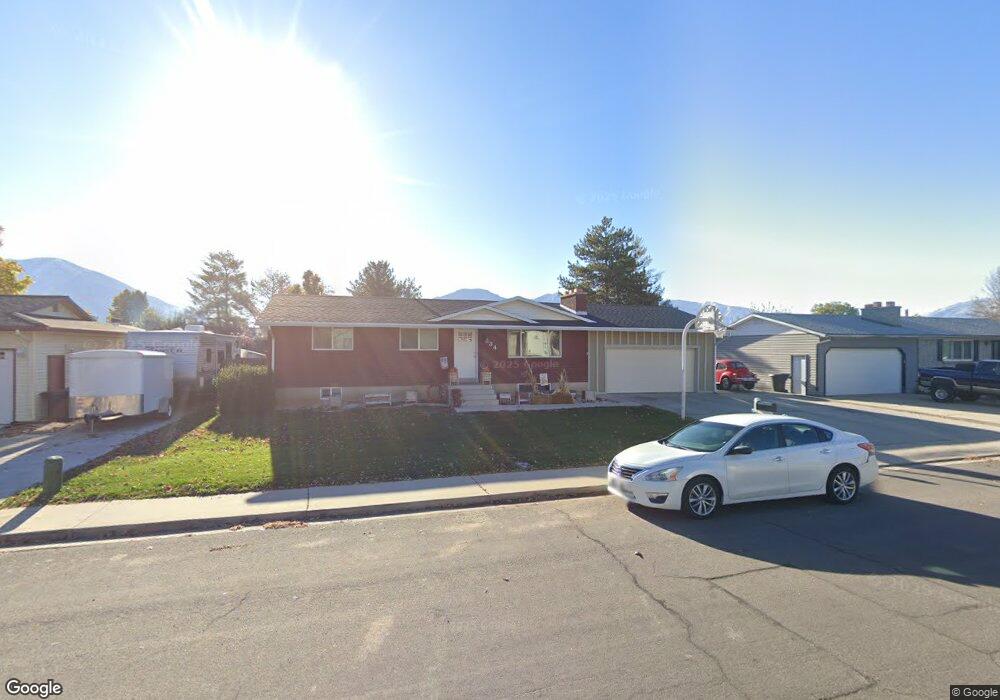
634 Mitchell Dr Spanish Fork, UT 84660
Estimated Value: $457,000 - $504,000
5
Beds
2
Baths
2,184
Sq Ft
$220/Sq Ft
Est. Value
About This Home
This home is located at 634 Mitchell Dr, Spanish Fork, UT 84660 and is currently estimated at $481,141, approximately $220 per square foot. 634 Mitchell Dr is a home located in Utah County with nearby schools including Brockbank Elementary School, Spanish Fork Jr High School, and Spanish Fork High School.
Ownership History
Date
Name
Owned For
Owner Type
Purchase Details
Closed on
May 18, 2017
Sold by
Clayson Kent W and Clayson Marlene
Bought by
Moses Malissa and Julander John
Current Estimated Value
Home Financials for this Owner
Home Financials are based on the most recent Mortgage that was taken out on this home.
Original Mortgage
$240,562
Outstanding Balance
$202,844
Interest Rate
4.62%
Mortgage Type
FHA
Estimated Equity
$278,297
Purchase Details
Closed on
Aug 31, 1999
Sold by
Barrett John R and Barrett Susan D
Bought by
Clayson Kent W and Clayson Marlene
Home Financials for this Owner
Home Financials are based on the most recent Mortgage that was taken out on this home.
Original Mortgage
$116,900
Interest Rate
7.47%
Purchase Details
Closed on
Jul 29, 1997
Sold by
Carter Kelly J and Carter Jerolyn
Bought by
Barrett John R and Barrett Susan D
Home Financials for this Owner
Home Financials are based on the most recent Mortgage that was taken out on this home.
Original Mortgage
$119,600
Interest Rate
7.58%
Create a Home Valuation Report for This Property
The Home Valuation Report is an in-depth analysis detailing your home's value as well as a comparison with similar homes in the area
Home Values in the Area
Average Home Value in this Area
Purchase History
| Date | Buyer | Sale Price | Title Company |
|---|---|---|---|
| Moses Malissa | -- | Key Land Title | |
| Clayson Kent W | -- | Old Republic Title Company | |
| Barrett John R | -- | -- |
Source: Public Records
Mortgage History
| Date | Status | Borrower | Loan Amount |
|---|---|---|---|
| Open | Moses Malissa | $240,562 | |
| Previous Owner | Clayson Kent W | $116,900 | |
| Previous Owner | Barrett John R | $119,600 |
Source: Public Records
Tax History Compared to Growth
Tax History
| Year | Tax Paid | Tax Assessment Tax Assessment Total Assessment is a certain percentage of the fair market value that is determined by local assessors to be the total taxable value of land and additions on the property. | Land | Improvement |
|---|---|---|---|---|
| 2025 | $1,973 | $219,450 | $153,400 | $245,600 |
| 2024 | $1,973 | $203,390 | $0 | $0 |
| 2023 | $2,000 | $206,360 | $0 | $0 |
| 2022 | $2,080 | $210,485 | $0 | $0 |
| 2021 | $1,755 | $284,100 | $91,600 | $192,500 |
| 2020 | $1,672 | $263,200 | $83,300 | $179,900 |
| 2019 | $1,545 | $255,800 | $76,300 | $179,500 |
| 2018 | $1,409 | $225,500 | $69,400 | $156,100 |
| 2017 | $1,289 | $110,880 | $0 | $0 |
| 2016 | $1,156 | $98,175 | $0 | $0 |
| 2015 | $1,078 | $90,475 | $0 | $0 |
| 2014 | $1,060 | $89,265 | $0 | $0 |
Source: Public Records
Map
Nearby Homes
- 559 N Mitchell Dr
- 393 N 400 W
- 1841 N 630 St W Unit 71
- 433 N 100 W
- 1788 N 630 St W Unit 47
- 1826 N 630 St W Unit 101
- 294 W 200 N
- 40 W 400 N Unit 1-6
- 833 W 250 N
- 134 N 300 W
- 226 N 860 W Unit 156
- 55 E 700 N
- 555 N 100 E
- 13 N 710 W
- 136 E 900 N
- 956 W 40 N
- 1040 W Center St
- 88 S 400 W
- 440 N 200 E
- 143 E 200 N
- 624 Mitchell Dr
- 624 N Mitchell Dr
- 492 W 600 N
- 621 Valley Dr
- 670 N Mitchell Dr
- 651 Mitchell Dr
- 670 Mitchell Dr
- 655 Mitchell Dr
- 619 Mitchell Dr
- 639 N Valley Dr
- 639 Valley Dr
- 677 N Mitchell Dr
- 677 Mitchell Dr
- 591 N 500 W
- 545 W 600 N
- 586 N 500 W
- 599 Mitchell Dr
- 684 Mitchell Dr
- 459 W 600 N
- 689 Mitchell Dr