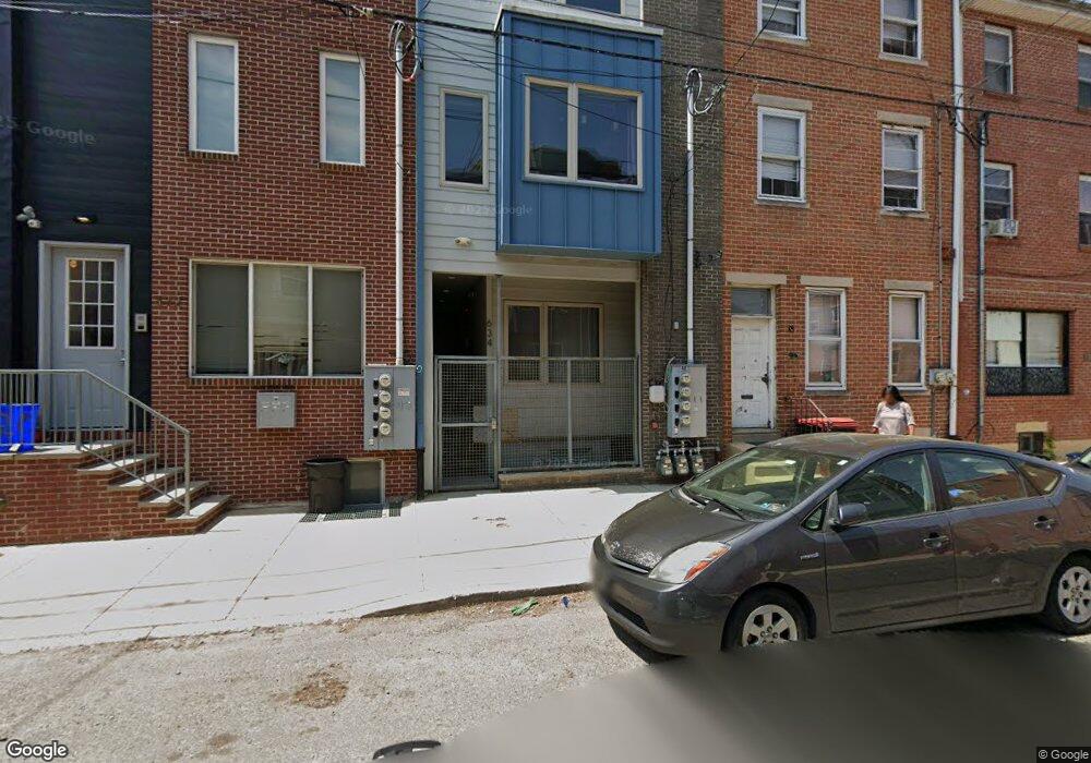
634 N 12th St Unit 1 Philadelphia, PA 19123
Poplar NeighborhoodEstimated Value: $1,027,000 - $1,110,000
1
Bed
1
Bath
743
Sq Ft
$1,438/Sq Ft
Est. Value
About This Home
This home is located at 634 N 12th St Unit 1, Philadelphia, PA 19123 and is currently estimated at $1,068,500, approximately $1,438 per square foot. 634 N 12th St Unit 1 is a home located in Philadelphia County with nearby schools including Spring Garden School, Benjamin Franklin High School, and People For People Charter School.
Ownership History
Date
Name
Owned For
Owner Type
Purchase Details
Closed on
Feb 18, 2015
Sold by
Cbr Ii Llc
Bought by
Cbrg 634 Llc
Current Estimated Value
Purchase Details
Closed on
Aug 1, 2013
Sold by
Tillman Jean and Andrews Jean
Bought by
Cbr Ii Llc
Purchase Details
Closed on
Dec 14, 2004
Sold by
Redevelopment Authority Of City Of Pa
Bought by
Tillman Jean
Create a Home Valuation Report for This Property
The Home Valuation Report is an in-depth analysis detailing your home's value as well as a comparison with similar homes in the area
Home Values in the Area
Average Home Value in this Area
Purchase History
| Date | Buyer | Sale Price | Title Company |
|---|---|---|---|
| Cbrg 634 Llc | -- | None Available | |
| Cbr Ii Llc | $70,000 | Title Services | |
| Tillman Jean | $5,252 | -- | |
| Redevelopment Authority Of City Of Pa | -- | -- |
Source: Public Records
Tax History Compared to Growth
Tax History
| Year | Tax Paid | Tax Assessment Tax Assessment Total Assessment is a certain percentage of the fair market value that is determined by local assessors to be the total taxable value of land and additions on the property. | Land | Improvement |
|---|---|---|---|---|
| 2025 | $3,274 | $908,800 | $181,700 | $727,100 |
| 2024 | $3,274 | $908,800 | $181,700 | $727,100 |
| 2023 | $3,274 | $1,169,600 | $233,920 | $935,680 |
| 2022 | $1,438 | $233,920 | $233,920 | $0 |
| 2021 | $1,438 | $0 | $0 | $0 |
| 2020 | $1,438 | $0 | $0 | $0 |
| 2019 | $1,391 | $0 | $0 | $0 |
| 2018 | $1,221 | $0 | $0 | $0 |
| 2017 | $7,559 | $0 | $0 | $0 |
| 2016 | $787 | $0 | $0 | $0 |
| 2015 | $5,491 | $0 | $0 | $0 |
| 2014 | -- | $56,200 | $56,200 | $0 |
| 2012 | -- | $11,328 | $11,328 | $0 |
Source: Public Records
Map
Nearby Homes
- 608 N 12th St
- 1202 Mount Vernon St
- 605 N 12th St Unit B
- 1127 Green St
- 1111 Mount Vernon St Unit 3
- 635 N 13th St Unit A
- 1125 Wallace St
- 657 N 12th St
- 1106 Wallace St
- 1117 Wallace St
- 1124 North St
- 1118 North St
- 606 N 11th St
- 1313 Mount Vernon St
- 1319 Mount Vernon St
- 678 N 13th St
- 670 N 13th St
- 552 N 11th St
- 523 N 11th St
- 521 N 11th St
- 634 N 12th St
- 632 N 12th St
- 636 N 12th St
- 630 N 12th St
- 638 N 12th St Unit 1
- 638 N 12th St Unit 1ST FL
- 638 N 12th St
- 626 N 12th St
- 626 N 12th St Unit 2
- 626 N 12th St Unit 1
- 1208 Wallace St
- 1210 Wallace St
- 624 N 12th St
- 1212 Wallace St Unit 3
- 1212 Wallace St
- 622 N 12th St Unit 3
- 622 N 12th St Unit 2
- 622 N 12th St Unit 1
- 622 N 12th St
- 622 N 12th St Unit 4