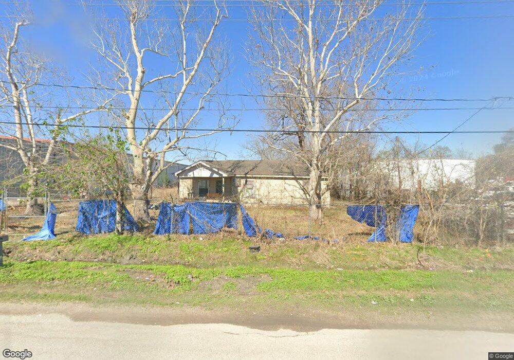
634 Pickering St Houston, TX 77091
Northside-Northline NeighborhoodEstimated Value: $217,000 - $287,610
5
Beds
2
Baths
1,200
Sq Ft
$213/Sq Ft
Est. Value
About This Home
This home is located at 634 Pickering St, Houston, TX 77091 and is currently estimated at $255,153, approximately $212 per square foot. 634 Pickering St is a home located in Harris County with nearby schools including Wesley Elementary School, Williams Middle, and Booker T Washington Sr High.
Ownership History
Date
Name
Owned For
Owner Type
Purchase Details
Closed on
Jun 1, 2005
Sold by
Kuehn James D
Bought by
Doria Saul
Current Estimated Value
Home Financials for this Owner
Home Financials are based on the most recent Mortgage that was taken out on this home.
Original Mortgage
$23,874
Interest Rate
6.29%
Mortgage Type
Seller Take Back
Purchase Details
Closed on
Apr 15, 2003
Sold by
Figueroa Vince Ruiz
Bought by
Eldridge Ronald L
Create a Home Valuation Report for This Property
The Home Valuation Report is an in-depth analysis detailing your home's value as well as a comparison with similar homes in the area
Home Values in the Area
Average Home Value in this Area
Purchase History
| Date | Buyer | Sale Price | Title Company |
|---|---|---|---|
| Doria Saul | -- | -- | |
| Eldridge Ronald L | -- | -- |
Source: Public Records
Mortgage History
| Date | Status | Borrower | Loan Amount |
|---|---|---|---|
| Previous Owner | Doria Saul | $23,874 |
Source: Public Records
Tax History Compared to Growth
Tax History
| Year | Tax Paid | Tax Assessment Tax Assessment Total Assessment is a certain percentage of the fair market value that is determined by local assessors to be the total taxable value of land and additions on the property. | Land | Improvement |
|---|---|---|---|---|
| 2025 | $1,822 | $290,975 | $247,000 | $43,975 |
| 2024 | $1,822 | $290,975 | $247,000 | $43,975 |
| 2023 | $1,822 | $289,823 | $247,000 | $42,823 |
| 2022 | $3,205 | $163,267 | $123,500 | $39,767 |
| 2021 | $2,882 | $123,864 | $74,100 | $49,764 |
| 2020 | $2,720 | $122,431 | $74,100 | $48,331 |
| 2019 | $2,459 | $97,189 | $49,400 | $47,789 |
| 2018 | $920 | $97,189 | $49,400 | $47,789 |
| 2017 | $2,399 | $94,860 | $49,400 | $45,460 |
| 2016 | $2,389 | $94,860 | $49,400 | $45,460 |
| 2015 | $1,434 | $87,463 | $43,225 | $44,238 |
| 2014 | $1,434 | $85,924 | $43,225 | $42,699 |
Source: Public Records
Map
Nearby Homes
- 0 Pickering St
- 609 W Parker Rd
- 6315 N Shepherd Dr
- 6100 Stuebner Airline Rd
- 5736 Stuebner Airline Rd
- 522 Surratt Dr
- 422 Surratt Dr
- 778 Pickering St
- 6105 Morrow St
- 0 Brinkman Unit 54849680
- 434 Yale Oaks Ln
- 422 Yale Oaks Ln
- 6610 Morrow St
- 427 Yale Oaks Ln
- 6057 Yale St
- 406 Red Ripple Rd
- 410 Yale Oaks Ln
- 833 Rosie St
- 5503 Beall St Unit A
- 6032 Beall St
- 610 Pickering St
- 6403 Stuebner Airline Rd
- 6407 Stuebner Airline Rd
- 6411 Stuebner Airline Rd
- 6415 Stuebner Airline Rd
- 629 W Parker Rd
- 615 W Parker Rd
- 6433 Stuebner Airline Rd
- 6416 Stuebner Airline Rd
- 6318 Stuebner Airline Rd
- 6420 Stuebner Airline Rd
- 622 W Parker Rd
- 626 W Parker Rd
- 618 W Parker Rd
- 634 W Parker Rd
- 610 W Parker Rd
- 516 Pickering St
- 626 Leago St
- 624 Leago St
- 6502 N Shepherd Dr