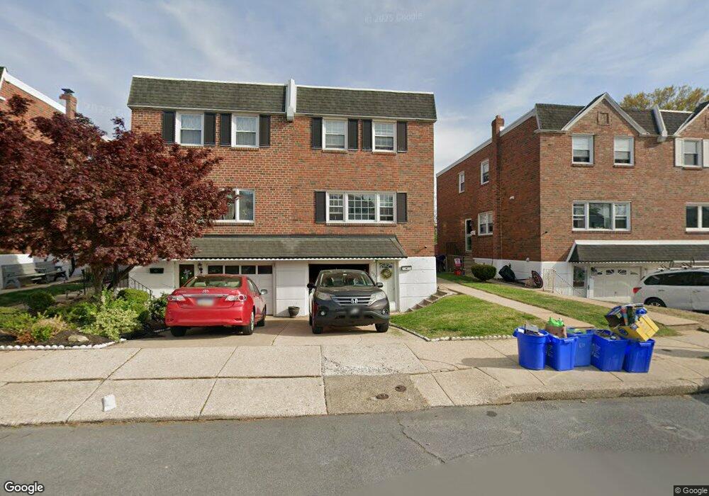
634 Renz St Philadelphia, PA 19128
Upper Roxborough NeighborhoodEstimated Value: $379,003 - $424,000
3
Beds
2
Baths
1,546
Sq Ft
$261/Sq Ft
Est. Value
About This Home
This home is located at 634 Renz St, Philadelphia, PA 19128 and is currently estimated at $404,001, approximately $261 per square foot. 634 Renz St is a home with nearby schools including Shawmont School, Roxborough High School, and Green Woods CS.
Ownership History
Date
Name
Owned For
Owner Type
Purchase Details
Closed on
Mar 28, 2017
Sold by
Estate Of Patricia Malloy
Bought by
Opiela Michael and Opiela Dana
Current Estimated Value
Home Financials for this Owner
Home Financials are based on the most recent Mortgage that was taken out on this home.
Original Mortgage
$235,653
Outstanding Balance
$196,313
Interest Rate
4.25%
Mortgage Type
FHA
Estimated Equity
$207,688
Purchase Details
Closed on
Jan 26, 1973
Bought by
Charles Charles A and Charles Patricia
Create a Home Valuation Report for This Property
The Home Valuation Report is an in-depth analysis detailing your home's value as well as a comparison with similar homes in the area
Home Values in the Area
Average Home Value in this Area
Purchase History
| Date | Buyer | Sale Price | Title Company |
|---|---|---|---|
| Opiela Michael | $240,000 | Germantown Title Company | |
| Charles Charles A | -- | -- |
Source: Public Records
Mortgage History
| Date | Status | Borrower | Loan Amount |
|---|---|---|---|
| Open | Opiela Michael | $235,653 |
Source: Public Records
Tax History Compared to Growth
Tax History
| Year | Tax Paid | Tax Assessment Tax Assessment Total Assessment is a certain percentage of the fair market value that is determined by local assessors to be the total taxable value of land and additions on the property. | Land | Improvement |
|---|---|---|---|---|
| 2025 | $3,901 | $344,100 | $68,820 | $275,280 |
| 2024 | $3,901 | $344,100 | $68,820 | $275,280 |
| 2023 | $3,901 | $278,700 | $55,740 | $222,960 |
| 2022 | $3,283 | $278,700 | $55,740 | $222,960 |
| 2021 | $3,283 | $0 | $0 | $0 |
| 2020 | $3,283 | $0 | $0 | $0 |
| 2019 | $3,168 | $0 | $0 | $0 |
| 2018 | $2,986 | $0 | $0 | $0 |
| 2017 | $2,986 | $0 | $0 | $0 |
| 2016 | -- | $0 | $0 | $0 |
| 2015 | -- | $0 | $0 | $0 |
| 2014 | -- | $213,300 | $21,600 | $191,700 |
| 2012 | -- | $29,248 | $4,278 | $24,970 |
Source: Public Records
Map
Nearby Homes
- 580 Wigard Ave
- 549 Wigard Ave
- 7429 Keiffer St
- 7328 Hiola Rd
- 7519R Ridge Ave Unit 203
- 7519R Ridge Ave Unit 204
- 614 Wises Mill Rd
- 7316 Valley Ave
- 0 Wigard Reserve Unit 304 PAPH2443026
- 7314 Hill Rd
- 7708 Lawnton St
- 7519 Wigard Reserve
- 7519 Ridge Ave Unit 204
- 623 Shawmont Ave
- 706 Hagner St
- 648 Hagner St
- 7703 Ridge Ave
- 7701 Ridge Ave
- 7707 Ridge Ave
- 604 Palairet Rd