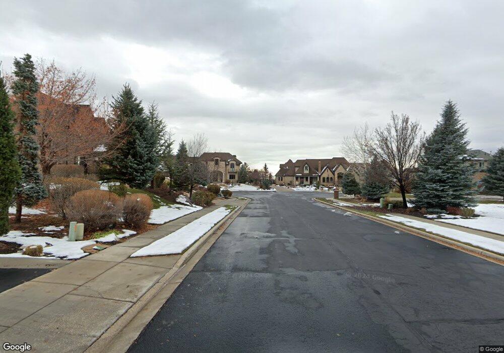
634 S Pheasant Ridge Ct Alpine, UT 84004
Estimated Value: $2,018,000 - $2,019,605
5
Beds
4
Baths
6,771
Sq Ft
$298/Sq Ft
Est. Value
About This Home
This home is located at 634 S Pheasant Ridge Ct, Alpine, UT 84004 and is currently estimated at $2,018,803, approximately $298 per square foot. 634 S Pheasant Ridge Ct is a home located in Utah County with nearby schools including Westfield School, Timberline Middle School, and Lone Peak High School.
Ownership History
Date
Name
Owned For
Owner Type
Purchase Details
Closed on
Aug 30, 2024
Sold by
Egley Jared K
Bought by
Egley Jared K and Egley Julianna
Current Estimated Value
Home Financials for this Owner
Home Financials are based on the most recent Mortgage that was taken out on this home.
Original Mortgage
$1,240,000
Outstanding Balance
$1,226,835
Interest Rate
6.77%
Mortgage Type
New Conventional
Estimated Equity
$791,968
Purchase Details
Closed on
Jul 29, 2005
Sold by
Sundance Homes Llc
Bought by
Eisinger Michael and Eisinger Lori
Purchase Details
Closed on
Aug 3, 2004
Sold by
Stone Ridge Financial Llc
Bought by
Sundance Homes Llc
Home Financials for this Owner
Home Financials are based on the most recent Mortgage that was taken out on this home.
Original Mortgage
$555,000
Interest Rate
6.24%
Mortgage Type
Purchase Money Mortgage
Create a Home Valuation Report for This Property
The Home Valuation Report is an in-depth analysis detailing your home's value as well as a comparison with similar homes in the area
Home Values in the Area
Average Home Value in this Area
Purchase History
| Date | Buyer | Sale Price | Title Company |
|---|---|---|---|
| Egley Jared K | -- | Title One | |
| Egley Jared K | -- | Inwest Title | |
| Eisinger Michael | -- | Signature Title Insurance A | |
| Sundance Homes Llc | -- | Signature Title Insurance A |
Source: Public Records
Mortgage History
| Date | Status | Borrower | Loan Amount |
|---|---|---|---|
| Open | Egley Jared K | $1,240,000 | |
| Previous Owner | Sundance Homes Llc | $555,000 |
Source: Public Records
Tax History
| Year | Tax Paid | Tax Assessment Tax Assessment Total Assessment is a certain percentage of the fair market value that is determined by local assessors to be the total taxable value of land and additions on the property. | Land | Improvement |
|---|---|---|---|---|
| 2025 | $7,737 | $1,056,550 | -- | -- |
| 2024 | $7,737 | $901,780 | $0 | $0 |
| 2023 | $7,442 | $931,150 | $0 | $0 |
| 2022 | $7,578 | $920,920 | $0 | $0 |
| 2021 | $6,063 | $1,144,400 | $432,400 | $712,000 |
| 2020 | $5,982 | $1,105,100 | $393,100 | $712,000 |
| 2019 | $5,730 | $1,105,100 | $393,100 | $712,000 |
| 2018 | $5,544 | $1,056,300 | $393,100 | $663,200 |
| 2017 | $5,516 | $559,350 | $0 | $0 |
| 2016 | $5,803 | $548,570 | $0 | $0 |
| 2015 | $5,635 | $503,965 | $0 | $0 |
| 2014 | $5,044 | $446,270 | $0 | $0 |
Source: Public Records
Map
Nearby Homes
- 596 S Cascade Ct
- 875 S Blue Ridge Ln
- 5046 W Jonathon Rd Unit 10
- 682 Healey Blvd
- 250 S Main St Unit 25
- 250 S Main St Unit 20
- 250 S Main St Unit 9
- 250 S Main St Unit 7
- 259 Twin River Loop
- 202 E Alpine Dr
- 30 S Main St
- 48 N 100 E
- 11107 Manor Dr Unit 1
- 887 E Village Way
- 5246 W 11200 N Unit 1
- 5984 W 11200 N Unit 1
- 1063 E Alpine Dr
- 5238 W 11100 St N Unit 2
- 5077 W 11000 N
- 499 E 300 N
- 634 S Pheasant Ridge Ct
- 634 S Pheasant Ridge Ct Unit 2
- 634 S Pheasant Ridge Ct
- 634 S Pheasant Ridge Ct Unit 2
- 668 S Pheasant Ridge Ct
- 668 S Pheasant Ridge Ct Unit 1
- 668 S Pheasant Ridge Ct Unit 1
- 668 S Pheasant Ridge Ct Unit 1
- 629 S Pheasant Ridge Cir
- 629 S Pheasant Ridge Ct
- 629 S Pheasant Ridge Ct Unit 8
- 303 E Pheasant Ridge Dr
- 303 E Pheasant Ridge Dr Unit 3
- 661 S Pheasant Ridge Ct Unit 9
- 611 S Canyon Crest Rd
- 629 Sierra Cir
- 629 S Pheasant Ridge Ct
- 629 S Pheasant Ridge Ct Unit 8
- 661 S Pheasant Ridge Ct
- 661 S Pheasant Ridge Ct Unit 9
Your Personal Tour Guide
Ask me questions while you tour the home.