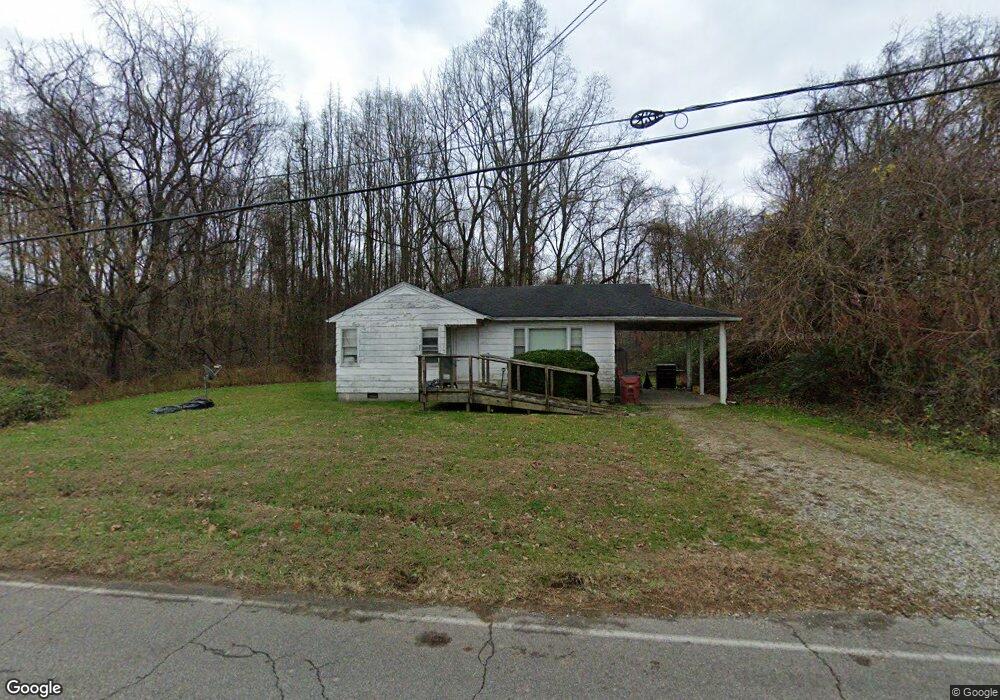
634 State Route 3117 South Shore, KY 41175
Estimated Value: $57,000 - $91,000
--
Bed
--
Bath
912
Sq Ft
$77/Sq Ft
Est. Value
About This Home
This home is located at 634 State Route 3117, South Shore, KY 41175 and is currently estimated at $70,420, approximately $77 per square foot. 634 State Route 3117 is a home with nearby schools including Greenup County High School.
Ownership History
Date
Name
Owned For
Owner Type
Purchase Details
Closed on
Oct 8, 2025
Sold by
Neumann Tommy I and Neumann Janet R
Bought by
Peters Chelsa
Current Estimated Value
Purchase Details
Closed on
Nov 20, 2023
Sold by
Kings Addition Baptist Church and Lewis Rodger
Bought by
Fuller Michael Cody and Veach Meghan Lynn
Purchase Details
Closed on
Mar 27, 2023
Sold by
Beauty Ridge Missionary Baptist Church
Bought by
Kings Addition Baptist Church
Purchase Details
Closed on
May 1, 2019
Sold by
Neumann Tommy I and Neumann Janet R
Bought by
Peters Chelsa
Create a Home Valuation Report for This Property
The Home Valuation Report is an in-depth analysis detailing your home's value as well as a comparison with similar homes in the area
Home Values in the Area
Average Home Value in this Area
Purchase History
| Date | Buyer | Sale Price | Title Company |
|---|---|---|---|
| Peters Chelsa | $30,000 | None Listed On Document | |
| Fuller Michael Cody | $50,000 | None Listed On Document | |
| Kings Addition Baptist Church | -- | -- | |
| Peters Chelsa | $30,000 | None Available |
Source: Public Records
Tax History Compared to Growth
Tax History
| Year | Tax Paid | Tax Assessment Tax Assessment Total Assessment is a certain percentage of the fair market value that is determined by local assessors to be the total taxable value of land and additions on the property. | Land | Improvement |
|---|---|---|---|---|
| 2025 | $511 | $30,000 | $10,000 | $20,000 |
| 2024 | $510 | $30,000 | $10,000 | $20,000 |
| 2023 | $482 | $30,000 | $10,000 | $20,000 |
| 2022 | $467 | $30,000 | $10,000 | $20,000 |
| 2021 | $465 | $30,000 | $10,000 | $20,000 |
| 2020 | $457 | $30,000 | $10,000 | $20,000 |
| 2019 | $385 | $30,000 | $10,000 | $20,000 |
| 2018 | $441 | $27,980 | $10,000 | $17,980 |
| 2017 | $424 | $27,980 | $10,000 | $17,980 |
| 2016 | $424 | $27,980 | $10,000 | $17,980 |
| 2015 | $421 | $27,980 | $10,000 | $17,980 |
| 2014 | $417 | $27,980 | $10,000 | $17,980 |
| 2011 | -- | $27,980 | $5,000 | $22,980 |
Source: Public Records
Map
Nearby Homes
- 12 Fourth St
- 178 Bruce St
- 570 Siloam Ln
- 49 Dee St
- 4347 Rhodes Ave
- 3716 Rhodes Ave
- 724 Lakeview Ave
- 5802 Farney Ave
- 0 Cedar St
- 6449 Bahner Rd
- 616 Sycamore St
- 3354 Gallia St
- 0 Glover Ln
- 3167 Walnut St
- 7204 Ohio River Rd
- 5526 Auburn Ave
- 3015 Gallia St
- 4327 Dale St
- 0 Ohio River Rd Unit 152541
- 0 Ohio River Rd Unit 152771
- 629 State Route 3117
- 617 State Route 3117
- 607 State Route 3117
- 587 State Route 3117
- 565 State Route 3117
- 702 State Route 3117
- 549 Rt 3117
- 533 State Route 3117
- 509 State Route 3117
- 467 State Route 3117
- 806 State Route 3117
- 57 Dunaway Ln
- 884 Johnson Ln
- 113 Dunaway Ln
- 445 State Route 3117
- 933 Johnson Ln
- 26828 Us 23 Hwy
- 30 Lamblin Dr
- 0 Cr-1043a
- 69 Lamblin Dr