634 Wacaser Rd Colquitt, GA 39837
Estimated Value: $174,000 - $176,805
3
Beds
2
Baths
1,833
Sq Ft
$96/Sq Ft
Est. Value
About This Home
This home is located at 634 Wacaser Rd, Colquitt, GA 39837 and is currently estimated at $175,403, approximately $95 per square foot. 634 Wacaser Rd is a home located in Miller County with nearby schools including Miller County Elementary School, Miller County Middle School, and Miller County High School.
Ownership History
Date
Name
Owned For
Owner Type
Purchase Details
Closed on
Aug 28, 2020
Sold by
Patterson Terrie
Bought by
Carpenter Lance
Current Estimated Value
Home Financials for this Owner
Home Financials are based on the most recent Mortgage that was taken out on this home.
Original Mortgage
$105,645
Interest Rate
2.9%
Mortgage Type
Commercial
Purchase Details
Closed on
Jun 20, 2016
Sold by
Cook Joyce Ann
Bought by
Patterson Terrie and Patterson Julie
Purchase Details
Closed on
May 13, 2003
Sold by
Cook Bob S
Bought by
Cook Joyce Ann
Create a Home Valuation Report for This Property
The Home Valuation Report is an in-depth analysis detailing your home's value as well as a comparison with similar homes in the area
Purchase History
| Date | Buyer | Sale Price | Title Company |
|---|---|---|---|
| Carpenter Lance | $115,000 | -- | |
| Patterson Terrie | $82,000 | -- | |
| Cook Joyce Ann | -- | -- |
Source: Public Records
Mortgage History
| Date | Status | Borrower | Loan Amount |
|---|---|---|---|
| Closed | Carpenter Lance | $105,645 |
Source: Public Records
Tax History
| Year | Tax Paid | Tax Assessment Tax Assessment Total Assessment is a certain percentage of the fair market value that is determined by local assessors to be the total taxable value of land and additions on the property. | Land | Improvement |
|---|---|---|---|---|
| 2024 | $603 | $45,249 | $41,716 | $3,533 |
| 2023 | $629 | $45,364 | $41,716 | $3,648 |
| 2022 | $521 | $41,716 | $41,716 | $0 |
| 2021 | $501 | $41,716 | $41,716 | $0 |
| 2020 | $495 | $41,925 | $41,925 | $0 |
| 2019 | $482 | $41,925 | $41,925 | $0 |
| 2018 | $1,546 | $41,925 | $41,925 | $0 |
| 2017 | $1,546 | $41,925 | $41,925 | $0 |
| 2016 | $2,500 | $75,105 | $46,187 | $28,918 |
| 2015 | -- | $41,498 | $20,459 | $21,039 |
| 2014 | -- | $41,498 | $20,459 | $21,039 |
| 2013 | -- | $41,497 | $20,458 | $21,038 |
Source: Public Records
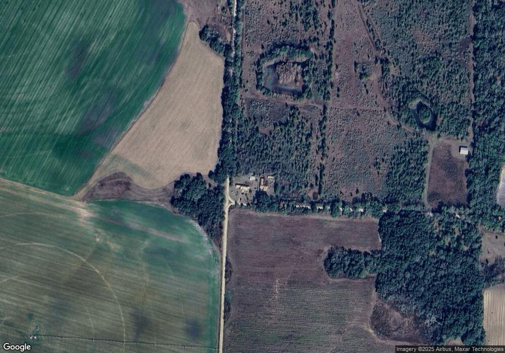
Map
Nearby Homes
- 1043 Wacaser Corner Rd
- 6170 Newton Hwy
- 324 Privett Store Rd
- 6050 Newton Hwy
- 149 County Line Church Rd
- 430 Cox Rd
- 970 Babcock Rd Unit 964
- 1203 Bellview Rd
- 0 Georgia 311
- 0 Lone Oak Trail
- 0 Big Oak Ln
- 113 Crooked Oak Ln
- 2400 Roe Taylor Rd
- 000 Georgia 200
- 000 Bellview Rd
- 000 Thompson Town Rd
- 721 E Crawford St
- 708 E Crawford St
- Crestview Rd
- 2456 Colonial Rd
Your Personal Tour Guide
Ask me questions while you tour the home.