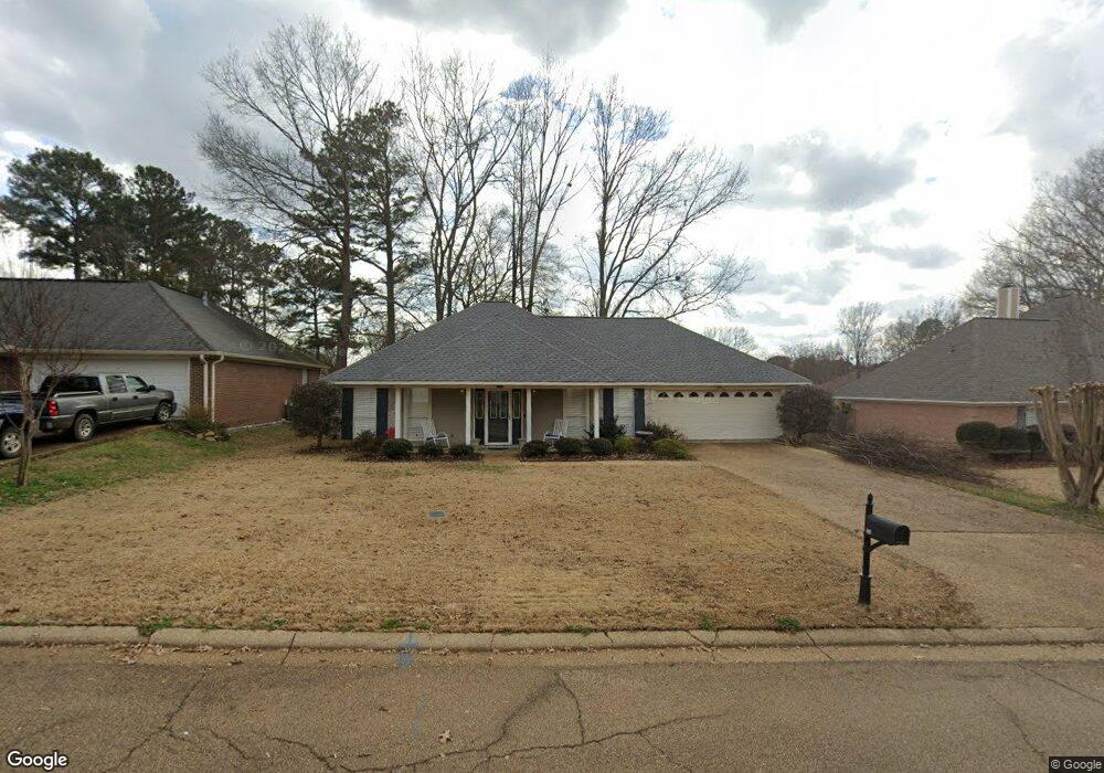
634 Windward Ln Richland, MS 39218
Estimated Value: $242,000 - $256,028
4
Beds
2
Baths
1,680
Sq Ft
$148/Sq Ft
Est. Value
About This Home
This home is located at 634 Windward Ln, Richland, MS 39218 and is currently estimated at $248,507, approximately $147 per square foot. 634 Windward Ln is a home located in Rankin County with nearby schools including Richland Elementary School, Richland Upper Elementary School, and Richland High School.
Ownership History
Date
Name
Owned For
Owner Type
Purchase Details
Closed on
Jun 30, 2017
Sold by
Denney Christopher Alan and Denney Karen Lynn
Bought by
Butler Christopher Brett
Current Estimated Value
Home Financials for this Owner
Home Financials are based on the most recent Mortgage that was taken out on this home.
Original Mortgage
$168,686
Outstanding Balance
$138,293
Interest Rate
3.94%
Mortgage Type
New Conventional
Estimated Equity
$110,214
Create a Home Valuation Report for This Property
The Home Valuation Report is an in-depth analysis detailing your home's value as well as a comparison with similar homes in the area
Home Values in the Area
Average Home Value in this Area
Purchase History
| Date | Buyer | Sale Price | Title Company |
|---|---|---|---|
| Butler Christopher Brett | -- | None Available |
Source: Public Records
Mortgage History
| Date | Status | Borrower | Loan Amount |
|---|---|---|---|
| Open | Butler Christopher Brett | $168,686 |
Source: Public Records
Tax History
| Year | Tax Paid | Tax Assessment Tax Assessment Total Assessment is a certain percentage of the fair market value that is determined by local assessors to be the total taxable value of land and additions on the property. | Land | Improvement |
|---|---|---|---|---|
| 2025 | $1,583 | $15,910 | $0 | $0 |
| 2024 | $1,554 | $15,910 | $0 | $0 |
| 2023 | $1,520 | $15,621 | $0 | $0 |
| 2022 | $1,497 | $15,621 | $0 | $0 |
| 2021 | $1,497 | $15,621 | $0 | $0 |
| 2020 | $1,497 | $15,621 | $0 | $0 |
| 2019 | $1,346 | $13,975 | $0 | $0 |
| 2018 | $1,318 | $13,975 | $0 | $0 |
| 2017 | $2,427 | $20,963 | $0 | $0 |
| 2016 | $1,221 | $13,726 | $0 | $0 |
| 2015 | $1,221 | $13,726 | $0 | $0 |
| 2014 | $1,191 | $13,726 | $0 | $0 |
| 2013 | -- | $13,726 | $0 | $0 |
Source: Public Records
Map
Nearby Homes
- 622 Windward Ln
- 561 Lowe Cir
- 371 Southwind Dr
- 130 Hemlock Dr
- 137 Short St
- 822 Highway 49 S
- 842 Highway 49 S
- 537 Parkview Cove
- 202 Donna Cir
- 416 Donna Cir
- 320 Scarbrough Cir
- 1018 Old Highway 49 S
- 191 Ted Cir
- 351 Scarbrough St
- 357 Scarbrough St
- 0 N South Pearson Rd Unit 4144080
- 0 S Pearson Rd
- 2637 S Pearson Rd
- 0 Ebenezer Rd
- 223 Southgate Dr
- 634 Windward Ln
- 630 Windward Ln
- 638 Windward Ln
- 830 Windward Dr
- 642 Windward Ln
- 626 Windward Ln
- 617 Windward Ln
- 834 Windward Dr
- 613 Windward Ln
- 625 Windward Ln
- 826 Windward Ln
- 646 Windward Ln
- 822 Windward Dr
- 629 Windward Ln
- 838 Windward Dr
- 725 Sunward Cove
- 650 Windward Ln
- 618 Windward Ln
- 721 Sunward Cove
- 239 Sundance Cir
Your Personal Tour Guide
Ask me questions while you tour the home.