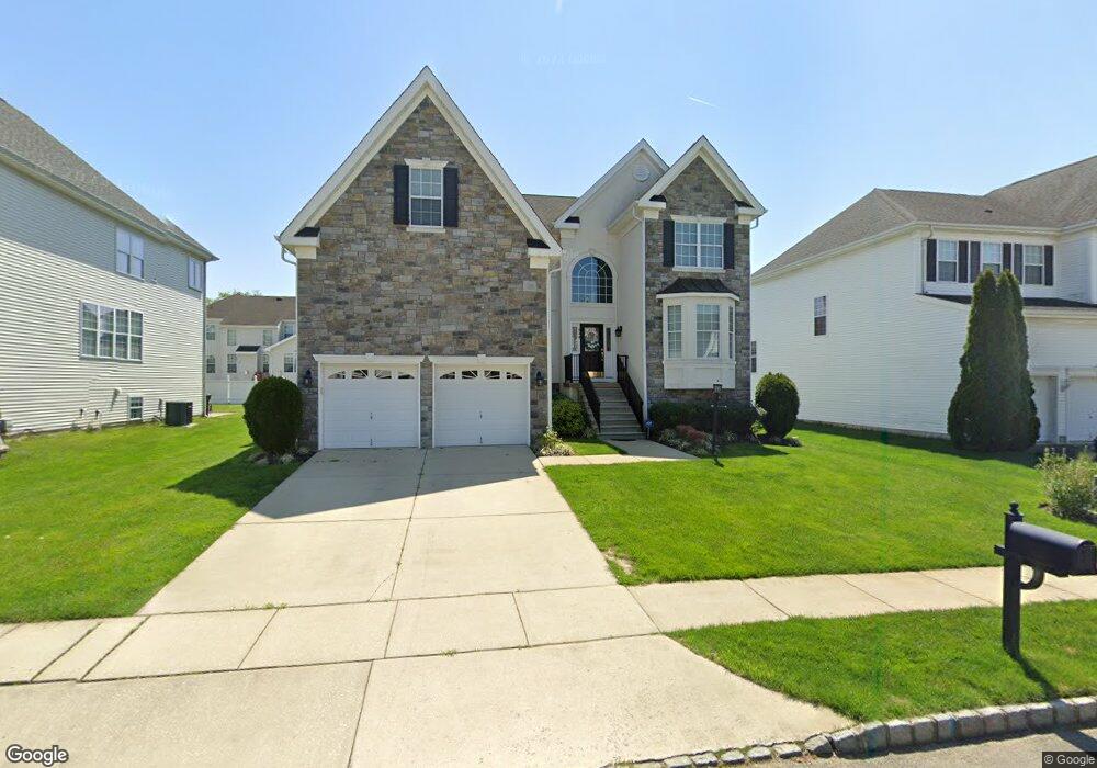
634 Worcester Dr West Deptford, NJ 08086
West Deptford Township NeighborhoodEstimated Value: $612,503 - $658,000
--
Bed
--
Bath
3,201
Sq Ft
$199/Sq Ft
Est. Value
About This Home
This home is located at 634 Worcester Dr, West Deptford, NJ 08086 and is currently estimated at $636,126, approximately $198 per square foot. 634 Worcester Dr is a home located in Gloucester County with nearby schools including Green-Fields Elementary School, Red Bank Elementary School, and Oakview Elementary School.
Ownership History
Date
Name
Owned For
Owner Type
Purchase Details
Closed on
May 15, 2023
Sold by
Swaidan Ramy J
Bought by
Swaidan Ramy J and Mannino Angelina
Current Estimated Value
Purchase Details
Closed on
Aug 26, 2022
Sold by
Frank Johnson Iii and Frank Celeste M
Bought by
Swaidan Ramy J
Home Financials for this Owner
Home Financials are based on the most recent Mortgage that was taken out on this home.
Original Mortgage
$420,000
Interest Rate
5.3%
Mortgage Type
Balloon
Purchase Details
Closed on
Nov 28, 2005
Sold by
D R Horton Inc New Jersey
Bought by
Johnson Frank and Johnson Celeste M
Create a Home Valuation Report for This Property
The Home Valuation Report is an in-depth analysis detailing your home's value as well as a comparison with similar homes in the area
Home Values in the Area
Average Home Value in this Area
Purchase History
| Date | Buyer | Sale Price | Title Company |
|---|---|---|---|
| Swaidan Ramy J | -- | None Listed On Document | |
| Swaidan Ramy J | -- | None Listed On Document | |
| Swaidan Ramy J | $525,000 | -- | |
| Swaidan Ramy J | $525,000 | North American Title | |
| Johnson Frank | $377,380 | Title America Agency Corp |
Source: Public Records
Mortgage History
| Date | Status | Borrower | Loan Amount |
|---|---|---|---|
| Previous Owner | Swaidan Ramy J | $420,000 |
Source: Public Records
Tax History Compared to Growth
Tax History
| Year | Tax Paid | Tax Assessment Tax Assessment Total Assessment is a certain percentage of the fair market value that is determined by local assessors to be the total taxable value of land and additions on the property. | Land | Improvement |
|---|---|---|---|---|
| 2025 | $12,711 | $364,000 | $64,000 | $300,000 |
| 2024 | $12,547 | $364,000 | $64,000 | $300,000 |
| 2023 | $12,547 | $364,000 | $64,000 | $300,000 |
| 2022 | $12,489 | $364,000 | $64,000 | $300,000 |
| 2021 | $12,445 | $364,000 | $64,000 | $300,000 |
| 2020 | $12,416 | $364,000 | $64,000 | $300,000 |
| 2019 | $12,070 | $364,000 | $64,000 | $300,000 |
| 2018 | $11,743 | $364,000 | $64,000 | $300,000 |
| 2017 | $11,470 | $364,000 | $64,000 | $300,000 |
| 2016 | $11,149 | $364,000 | $64,000 | $300,000 |
| 2015 | $11,570 | $396,500 | $64,000 | $332,500 |
| 2014 | $10,995 | $396,500 | $64,000 | $332,500 |
Source: Public Records
Map
Nearby Homes
- 640 Worcester Dr
- 863 Doncaster Dr
- 87 Woodway Dr Unit 87
- 1091 Buckingham Dr Unit 45
- 740 Carter Hill Dr
- 12 Highbridge Ln Unit I2
- 125 Lionheart Ln Unit C125
- 1012 Moore Rd Unit 6
- 1066 Buckingham Dr
- 1220 Royal Ln
- 1102 Barnesdale Rd
- 1311 Barnesdale Rd
- 4 Saint Emilion Ct
- 1810 Fernwood Dr
- 97 Church St
- 1054 Kings Hwy
- 94 Aviary Rd
- 64 Tilden Rd
- 14 Aviary Rd
- 247 Crown Point Rd
- 632 Worcester Dr
- 636 Worcester Dr
- 664 Worcester Dr
- 630 Worcester Dr
- 638 Worcester Dr
- 666 Worcester Dr
- 662 Worcester Dr
- 660 Worcester Dr
- 633 Worcester Dr
- 635 Worcester Dr
- 668 Worcester Dr
- 628 Worcester Dr
- 631 Worcester Dr
- 637 Worcester Dr
- 658 Worcester Dr
- 629 Worcester Dr
- 639 Worcester Dr
- 0 Lord Ln
- 4 Lord Ln
- 642 Worcester Dr