Estimated Value: $208,000 - $243,000
3
Beds
1
Bath
913
Sq Ft
$242/Sq Ft
Est. Value
About This Home
This home is located at 634 Yorkshire St, Salem, VA 24153 and is currently estimated at $221,268, approximately $242 per square foot. 634 Yorkshire St is a home located in Salem City with nearby schools including East Salem Elementary School, Andrew Lewis Middle School, and Salem High School.
Ownership History
Date
Name
Owned For
Owner Type
Purchase Details
Closed on
May 16, 2012
Sold by
Poff Brandon E
Bought by
Reed Joshua A and Reed Crystal L
Current Estimated Value
Home Financials for this Owner
Home Financials are based on the most recent Mortgage that was taken out on this home.
Original Mortgage
$5,000
Interest Rate
3.85%
Mortgage Type
Unknown
Purchase Details
Closed on
Mar 22, 2010
Sold by
Reese David L and Reese Kelley P
Bought by
Poff Brandon E
Home Financials for this Owner
Home Financials are based on the most recent Mortgage that was taken out on this home.
Original Mortgage
$84,000
Interest Rate
5.12%
Mortgage Type
New Conventional
Create a Home Valuation Report for This Property
The Home Valuation Report is an in-depth analysis detailing your home's value as well as a comparison with similar homes in the area
Home Values in the Area
Average Home Value in this Area
Purchase History
| Date | Buyer | Sale Price | Title Company |
|---|---|---|---|
| Reed Joshua A | $120,600 | Fidleity National Title Insu | |
| Poff Brandon E | $105,000 | Lawyers Title Ins Corp |
Source: Public Records
Mortgage History
| Date | Status | Borrower | Loan Amount |
|---|---|---|---|
| Closed | Reed Joshua A | $5,000 | |
| Open | Reed Joshua A | $116,982 | |
| Previous Owner | Poff Brandon E | $84,000 |
Source: Public Records
Tax History Compared to Growth
Tax History
| Year | Tax Paid | Tax Assessment Tax Assessment Total Assessment is a certain percentage of the fair market value that is determined by local assessors to be the total taxable value of land and additions on the property. | Land | Improvement |
|---|---|---|---|---|
| 2025 | $943 | $159,800 | $41,100 | $118,700 |
| 2024 | $901 | $150,200 | $39,300 | $110,900 |
| 2023 | $1,604 | $133,700 | $36,300 | $97,400 |
| 2022 | $1,438 | $119,800 | $31,500 | $88,300 |
| 2021 | $1,338 | $111,500 | $29,900 | $81,600 |
| 2020 | $1,310 | $109,200 | $29,900 | $79,300 |
| 2019 | $1,236 | $103,000 | $29,900 | $73,100 |
| 2018 | $1,205 | $102,100 | $29,900 | $72,200 |
| 2017 | $1,101 | $93,300 | $29,900 | $63,400 |
| 2016 | $1,101 | $93,300 | $29,900 | $63,400 |
| 2015 | $1,116 | $94,600 | $30,000 | $64,600 |
| 2014 | $1,116 | $94,600 | $30,000 | $64,600 |
Source: Public Records
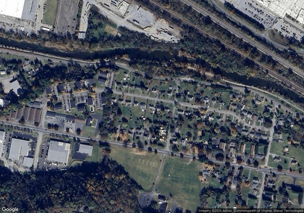
Map
Nearby Homes
- 1410 Orchard Dr
- 303 Riverland Dr
- 23 Upland Dr
- 1943 Maylin Dr
- The Nantucket Plan at Simms Farm
- The Beechwood Plan at Simms Farm
- The Hemlock Plan at Simms Farm
- The Magnolia Plan at Simms Farm
- The Madison Plan at Simms Farm
- The Avery Plan at Simms Farm
- The Williamsburg Plan at Simms Farm
- The Ashton Plan at Simms Farm
- The Margate Plan at Simms Farm
- The Georgetown Plan at Simms Farm
- The Jefferson Plan at Simms Farm
- The Washington Plan at Simms Farm
- The Lexington B Plan at Simms Farm
- 402 E 7th St
- 1002 Roanoke Blvd
- 1647 Margaret Ln
- 640 Yorkshire St
- 628 Yorkshire St
- 646 Yorkshire St
- 620 Yorkshire St
- 635 Apperson Dr
- 614 Yorkshire St
- 629 Apperson Dr
- 641 Apperson Dr
- 635 Yorkshire St
- 641 Yorkshire St
- 629 Yorkshire St
- 645 Apperson Dr
- 623 Apperson Dr
- 645 Yorkshire St
- 623 Yorkshire St
- 702 Yorkshire St
- 608 Yorkshire St
- 615 Apperson Dr
- 1500 Manchester Dr Unit 1502
- 615 Yorkshire St