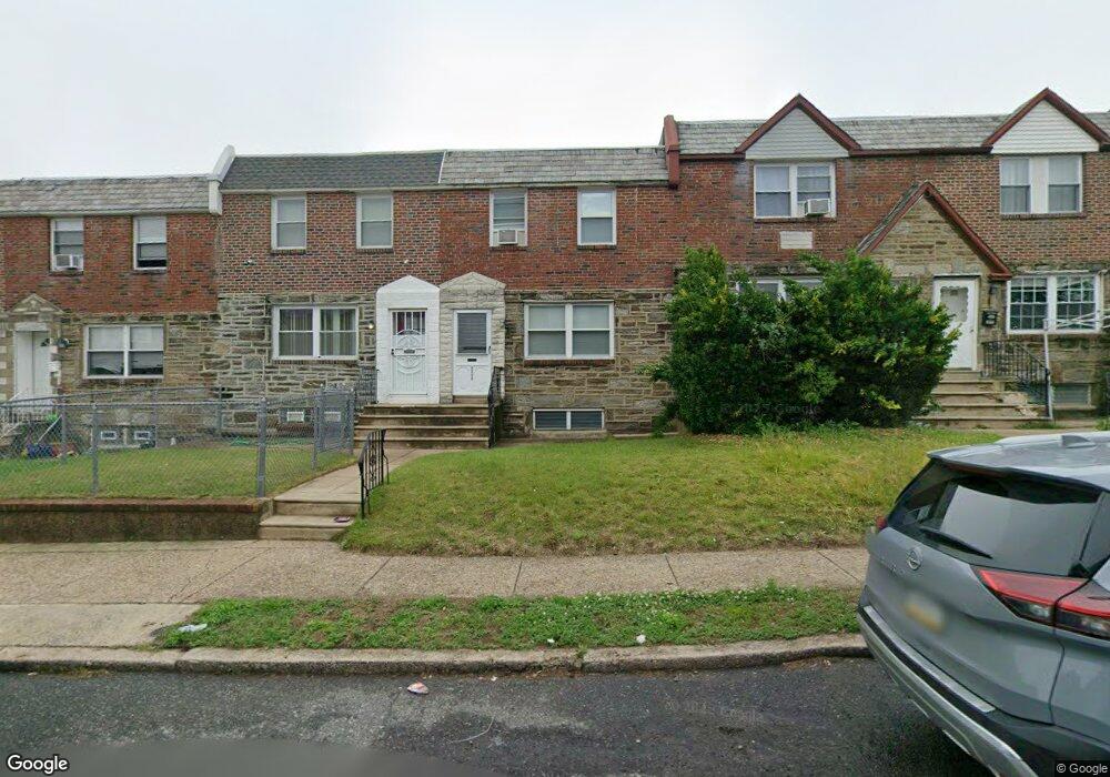
6340 Sylvester St Philadelphia, PA 19149
Castor Gardens NeighborhoodEstimated Value: $164,000 - $219,000
3
Beds
1
Bath
1,152
Sq Ft
$172/Sq Ft
Est. Value
About This Home
This home is located at 6340 Sylvester St, Philadelphia, PA 19149 and is currently estimated at $198,218, approximately $172 per square foot. 6340 Sylvester St is a home located in Philadelphia County with nearby schools including Gilbert Spruance School, Northeast High School, and Blessed Trinity Regional Catholic School.
Ownership History
Date
Name
Owned For
Owner Type
Purchase Details
Closed on
Mar 20, 2018
Sold by
Costello Sandra and Costello Costello
Bought by
Costello Sandra and Costello Costello
Current Estimated Value
Purchase Details
Closed on
Oct 10, 2007
Sold by
Costello Sandra
Bought by
Costello Sandra and Olener Ruth W
Purchase Details
Closed on
May 11, 2006
Sold by
Olener Morris and Olener Ruth W
Bought by
Costello Sandra
Create a Home Valuation Report for This Property
The Home Valuation Report is an in-depth analysis detailing your home's value as well as a comparison with similar homes in the area
Home Values in the Area
Average Home Value in this Area
Purchase History
| Date | Buyer | Sale Price | Title Company |
|---|---|---|---|
| Costello Sandra | -- | None Available | |
| Costello Sandra | -- | None Available | |
| Costello Sandra | -- | None Available |
Source: Public Records
Tax History Compared to Growth
Tax History
| Year | Tax Paid | Tax Assessment Tax Assessment Total Assessment is a certain percentage of the fair market value that is determined by local assessors to be the total taxable value of land and additions on the property. | Land | Improvement |
|---|---|---|---|---|
| 2025 | $2,409 | $200,000 | $40,000 | $160,000 |
| 2024 | $2,409 | $200,000 | $40,000 | $160,000 |
| 2023 | $2,409 | $172,100 | $34,420 | $137,680 |
| 2022 | $1,779 | $127,100 | $34,420 | $92,680 |
| 2021 | $1,779 | $0 | $0 | $0 |
| 2020 | $1,779 | $0 | $0 | $0 |
| 2019 | $1,708 | $0 | $0 | $0 |
| 2018 | $1,578 | $0 | $0 | $0 |
| 2017 | $1,578 | $0 | $0 | $0 |
| 2016 | -- | $0 | $0 | $0 |
| 2015 | -- | $0 | $0 | $0 |
| 2014 | -- | $112,700 | $17,757 | $94,943 |
| 2012 | -- | $14,464 | $1,489 | $12,975 |
Source: Public Records
Map
Nearby Homes
- 2001R Mckinley St
- 1535 Hellerman St
- 1500 Hellerman St
- 1531 Stevens St
- 1453 Mckinley St
- 1440 Robbins Ave
- 1427 Robbins Ave
- 1551 Lardner St
- 2003 Devereaux Ave
- 6621 Sylvester St
- 1548 Lardner St
- 6627 Oakland St
- 2019 Devereaux Ave
- 6306 Leonard St
- 6239 Castor Ave
- 1414 Mckinley St
- 1507 Benner St
- 6640 Souder St
- 6340 Calvert St
- 2112 Robbins Ave
- 6342 Sylvester St
- 6338 Sylvester St
- 6336 Sylvester St
- 6344 Sylvester St
- 6334 Sylvester St
- 6346 Sylvester St
- 6332 Sylvester St
- 6348 Sylvester St
- 6343 Horrocks St
- 6341 Horrocks St
- 6339 Horrocks St
- 6337 Horrocks St
- 6330 Sylvester St
- 6345 Horrocks St
- 6347 Horrocks St
- 6335 Horrocks St
- 6333 Horrocks St
- 6328 Sylvester St
- 6349 Horrocks St
- 6341 Sylvester St