6340 Taylor Rd Painesville, OH 44077
Estimated Value: $330,000 - $443,000
4
Beds
3
Baths
1,397
Sq Ft
$278/Sq Ft
Est. Value
About This Home
This home is located at 6340 Taylor Rd, Painesville, OH 44077 and is currently estimated at $388,261, approximately $277 per square foot. 6340 Taylor Rd is a home located in Lake County with nearby schools including Henry F. Lamuth Middle School and Riverside Junior/Senior High School.
Ownership History
Date
Name
Owned For
Owner Type
Purchase Details
Closed on
Feb 16, 2011
Sold by
Kolkowski Brian M and Kolkowski Barbara J
Bought by
Kolkowski Barbara J
Current Estimated Value
Purchase Details
Closed on
Oct 24, 1994
Sold by
Schindel Joseph
Bought by
Kolkowski Brian M and Kolkowski Barbara J
Home Financials for this Owner
Home Financials are based on the most recent Mortgage that was taken out on this home.
Original Mortgage
$87,900
Interest Rate
8.09%
Mortgage Type
New Conventional
Create a Home Valuation Report for This Property
The Home Valuation Report is an in-depth analysis detailing your home's value as well as a comparison with similar homes in the area
Home Values in the Area
Average Home Value in this Area
Purchase History
| Date | Buyer | Sale Price | Title Company |
|---|---|---|---|
| Kolkowski Barbara J | -- | Attorney | |
| Kolkowski Brian M | $178,900 | -- |
Source: Public Records
Mortgage History
| Date | Status | Borrower | Loan Amount |
|---|---|---|---|
| Closed | Kolkowski Brian M | $87,900 |
Source: Public Records
Tax History Compared to Growth
Tax History
| Year | Tax Paid | Tax Assessment Tax Assessment Total Assessment is a certain percentage of the fair market value that is determined by local assessors to be the total taxable value of land and additions on the property. | Land | Improvement |
|---|---|---|---|---|
| 2024 | -- | $111,150 | $20,240 | $90,910 |
| 2023 | $8,729 | $88,930 | $13,520 | $75,410 |
| 2022 | $4,681 | $88,930 | $13,520 | $75,410 |
| 2021 | $4,697 | $88,930 | $13,520 | $75,410 |
| 2020 | $4,435 | $74,120 | $11,270 | $62,850 |
| 2019 | $4,473 | $74,120 | $11,270 | $62,850 |
| 2018 | $4,312 | $75,890 | $15,420 | $60,470 |
| 2017 | $4,638 | $75,890 | $15,420 | $60,470 |
| 2016 | $4,271 | $75,890 | $15,420 | $60,470 |
| 2015 | $4,044 | $75,890 | $15,420 | $60,470 |
| 2014 | $4,117 | $75,890 | $15,420 | $60,470 |
| 2013 | $4,048 | $75,890 | $15,420 | $60,470 |
Source: Public Records
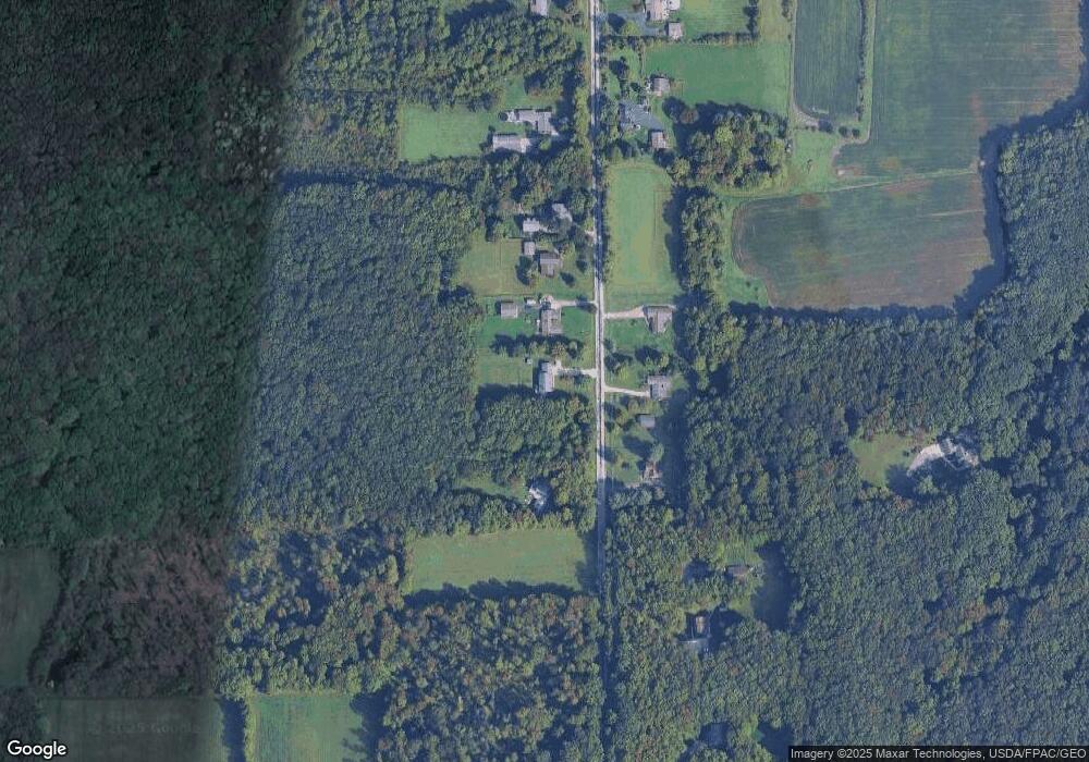
Map
Nearby Homes
- 6132 Paine Rd
- TBD Brockway Rd
- TBD Brockway Rd
- 0 Balch Rd Unit 5097587
- VACANT LAND Brakeman Rd
- Vacant Land Painesville Warren Rd
- V/L Painesville-Warren Rd
- 12888 Leroy Center Rd
- 6600 Vrooman Rd
- 5210 Blair Rd
- 0 Abbey Rd
- 0 Clay St Unit 5117656
- 4571 River Rd
- 12395 Carter Rd
- 7236 Cascade Rd
- 5595 Ford Rd
- 8060 Autumn Dr
- 5040 River Rd
- 5418 Pebble Creek Ln
- 5406 Pebble Creek Ln