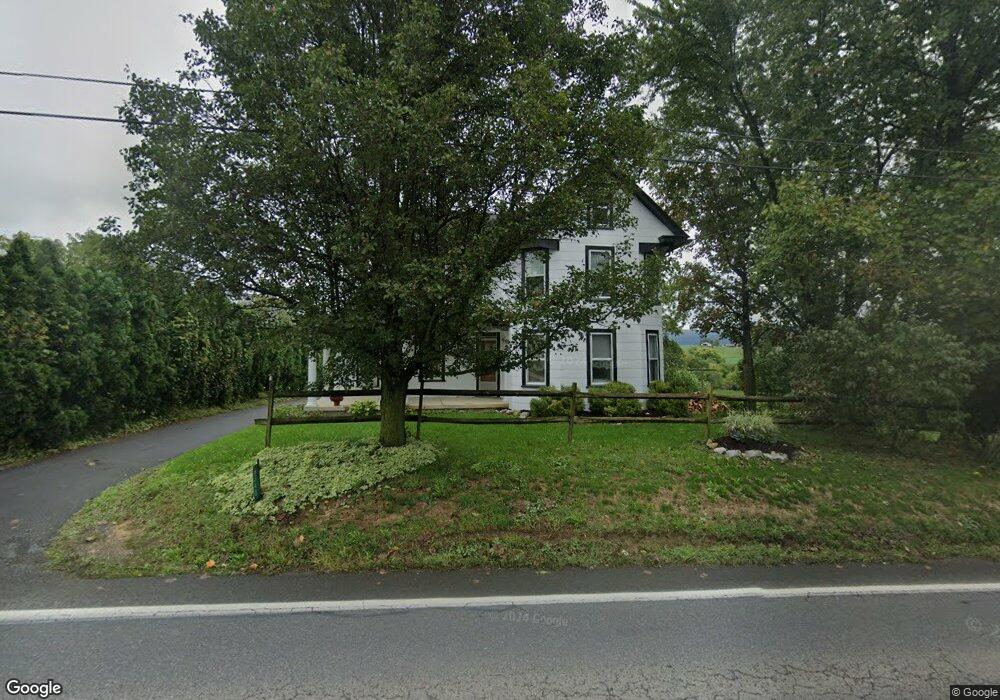
6340 Wayne Hwy Waynesboro, PA 17268
Estimated Value: $297,000 - $418,548
--
Bed
--
Bath
1,652
Sq Ft
$203/Sq Ft
Est. Value
About This Home
This home is located at 6340 Wayne Hwy, Waynesboro, PA 17268 and is currently estimated at $334,637, approximately $202 per square foot. 6340 Wayne Hwy is a home located in Franklin County with nearby schools including Waynesboro Area Senior High School, Providence School - Pigeon Hill Building, and Providence School - Oak Hill Building.
Ownership History
Date
Name
Owned For
Owner Type
Purchase Details
Closed on
Feb 28, 2011
Sold by
Layman Owen T and Layman Dorothy J
Bought by
Benedict Jeffrey D and Benedict Gayle F
Current Estimated Value
Home Financials for this Owner
Home Financials are based on the most recent Mortgage that was taken out on this home.
Original Mortgage
$140,000
Outstanding Balance
$96,420
Interest Rate
4.84%
Mortgage Type
New Conventional
Estimated Equity
$238,217
Create a Home Valuation Report for This Property
The Home Valuation Report is an in-depth analysis detailing your home's value as well as a comparison with similar homes in the area
Home Values in the Area
Average Home Value in this Area
Purchase History
| Date | Buyer | Sale Price | Title Company |
|---|---|---|---|
| Benedict Jeffrey D | $210,000 | None Available |
Source: Public Records
Mortgage History
| Date | Status | Borrower | Loan Amount |
|---|---|---|---|
| Open | Benedict Jeffrey D | $140,000 |
Source: Public Records
Tax History Compared to Growth
Tax History
| Year | Tax Paid | Tax Assessment Tax Assessment Total Assessment is a certain percentage of the fair market value that is determined by local assessors to be the total taxable value of land and additions on the property. | Land | Improvement |
|---|---|---|---|---|
| 2025 | $2,371 | $16,250 | $850 | $15,400 |
| 2024 | $2,298 | $16,250 | $850 | $15,400 |
| 2023 | $1,745 | $12,690 | $850 | $11,840 |
| 2022 | $1,694 | $12,690 | $850 | $11,840 |
| 2021 | $1,644 | $12,690 | $850 | $11,840 |
| 2020 | $1,644 | $12,690 | $850 | $11,840 |
| 2019 | $1,606 | $12,690 | $850 | $11,840 |
| 2018 | $1,552 | $12,690 | $850 | $11,840 |
| 2017 | $1,517 | $12,690 | $850 | $11,840 |
| 2016 | $364 | $12,690 | $850 | $11,840 |
| 2015 | $339 | $12,690 | $850 | $11,840 |
| 2014 | $339 | $12,690 | $850 | $11,840 |
Source: Public Records
Map
Nearby Homes
- 6456 Wayne Hwy
- 5118 Burkholder Rd
- 5434 Manheim Rd
- 5490 Honey Rock Ct
- 2582 Guilford Station Rd
- 1921 Hartzok Rd
- 3919 Church Rd
- 7468 Anthony Hwy
- 286 Verdier St
- 6 S Main St
- 8655 Wayne Hwy
- 6158 Merion Dr
- 6159 Orphanage Rd
- 3891 Alfalfa Ln
- 7205 Fairway Dr S
- 3881 Farmstead Dr
- 111 Poplar St
- 207 University Dr
- 3826 Farmstead Dr
- 6352 Penn National Dr
- 6345 Wayne Hwy
- 6328 Wayne Hwy
- 6374 Wayne Hwy
- 6313 Wayne Hwy
- 6321 Wayne Hwy
- 6310 Wayne Hwy
- 6392 Wayne Hwy
- 6327 Wayne Hwy
- 6280 Wayne Hwy
- 6365 Wayne Hwy
- 6455 Wayne Hwy
- 6470 Wayne Hwy
- 6530 Wayne Hwy
- 6677 Wayne Hwy
- 6054 Altenwald Rd
- 6558 Wayne Hwy
- 5961 Altenwald Rd
- 5860 Altenwald Rd
- 5973 Altenwald Rd
- 5979 Altenwald Rd