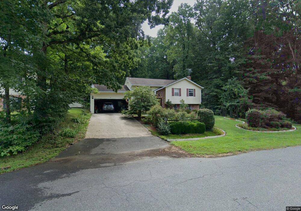
6341 Dory Ct Chesapeake Beach, MD 20732
Estimated Value: $398,000 - $449,000
Studio
2
Baths
1,028
Sq Ft
$409/Sq Ft
Est. Value
About This Home
This home is located at 6341 Dory Ct, Chesapeake Beach, MD 20732 and is currently estimated at $420,188, approximately $408 per square foot. 6341 Dory Ct is a home located in Calvert County with nearby schools including Plum Point Elementary School, Windy Hill Middle School, and Huntingtown High School.
Ownership History
Date
Name
Owned For
Owner Type
Purchase Details
Closed on
Jul 17, 1998
Sold by
Kohl Patrick E
Bought by
Kohl Patrick E
Current Estimated Value
Purchase Details
Closed on
Apr 22, 1987
Sold by
Mackall Amanda M
Bought by
Kohl Patrick E
Home Financials for this Owner
Home Financials are based on the most recent Mortgage that was taken out on this home.
Original Mortgage
$90,200
Interest Rate
10.27%
Create a Home Valuation Report for This Property
The Home Valuation Report is an in-depth analysis detailing your home's value as well as a comparison with similar homes in the area
Home Values in the Area
Average Home Value in this Area
Purchase History
| Date | Buyer | Sale Price | Title Company |
|---|---|---|---|
| Kohl Patrick E | $63,220 | -- | |
| Kohl Patrick E | $88,500 | -- |
Source: Public Records
Mortgage History
| Date | Status | Borrower | Loan Amount |
|---|---|---|---|
| Previous Owner | Kohl Patrick E | $90,200 |
Source: Public Records
Tax History
| Year | Tax Paid | Tax Assessment Tax Assessment Total Assessment is a certain percentage of the fair market value that is determined by local assessors to be the total taxable value of land and additions on the property. | Land | Improvement |
|---|---|---|---|---|
| 2025 | $3,755 | $327,400 | $147,100 | $180,300 |
| 2024 | $3,593 | $312,867 | $0 | $0 |
| 2023 | $3,314 | $298,333 | $0 | $0 |
| 2022 | $3,160 | $283,800 | $147,100 | $136,700 |
| 2021 | $3,041 | $277,733 | $0 | $0 |
| 2020 | $3,041 | $271,667 | $0 | $0 |
| 2019 | $2,988 | $265,600 | $147,100 | $118,500 |
| 2018 | $2,955 | $263,667 | $0 | $0 |
| 2017 | $2,845 | $261,733 | $0 | $0 |
| 2016 | -- | $259,800 | $0 | $0 |
| 2015 | $2,899 | $259,800 | $0 | $0 |
| 2014 | $2,899 | $259,800 | $0 | $0 |
Source: Public Records
Map
Nearby Homes
- 6337 Dory Ct
- 3609 Dory Brooks Rd
- 6309 Brookeview Ct
- 3632 Brookeside Dr
- 6212 8th St
- 6520 18th St
- 6231 8th St
- 4010 Dalrymple Rd
- 6510 18th St
- 6119 6th St
- 6572 12th St
- 6852 Old Bayside Rd
- 6315 5th St
- 3164 Dalrymple Rd
- 4200 Chesapeake Ave
- 7110 Chesapeake Village Blvd
- 7410 Dakota Ave
- 4115 Calvert Dr
- 0 10th St
- 7694 Old Bayside Rd
- 6343 Dory Ct
- 3605 Dory Brooks Rd
- 6348 Dory Ct
- 6347 Dory Ct
- 6337 Dory Ct Unit A
- 6337 Dory Ct Unit B
- 6337 Dory Ct Unit UPPER
- 6340 Dory Ct
- 3539 Dory Ct
- 3604 Dory Brooks Rd
- 3600 Dory Brooks Rd
- 3517 Dory Brooks Rd
- 3610 Dory Brooks Rd
- 3612 Dory Brooks Rd
- 3580 Dory Brooks Rd
- 3529 Dory Brooks Rd
- 3659 Dory Brooks Rd
- 3665 Dory Brooks Rd
- 3675 Dory Brooks Rd
- 3510 Dory Brooks Rd
Your Personal Tour Guide
Ask me questions while you tour the home.