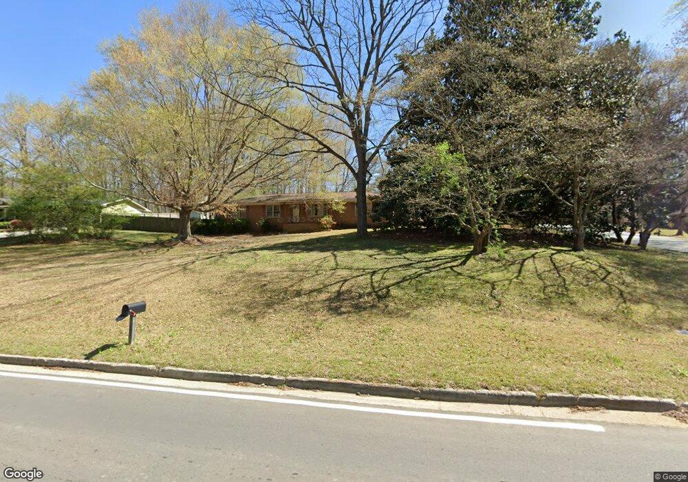
6341 S Gordon Rd Austell, GA 30168
Estimated Value: $222,000 - $270,000
3
Beds
2
Baths
1,650
Sq Ft
$156/Sq Ft
Est. Value
About This Home
This home is located at 6341 S Gordon Rd, Austell, GA 30168 and is currently estimated at $256,768, approximately $155 per square foot. 6341 S Gordon Rd is a home located in Cobb County with nearby schools including Bryant Elementary School, Lindley Middle School, and Pebblebrook High School.
Ownership History
Date
Name
Owned For
Owner Type
Purchase Details
Closed on
Sep 21, 2018
Sold by
Sutherland James Bouchillon
Bought by
Western Erik and Western Shirley
Current Estimated Value
Home Financials for this Owner
Home Financials are based on the most recent Mortgage that was taken out on this home.
Original Mortgage
$70,400
Outstanding Balance
$61,267
Interest Rate
4.5%
Mortgage Type
New Conventional
Estimated Equity
$195,502
Create a Home Valuation Report for This Property
The Home Valuation Report is an in-depth analysis detailing your home's value as well as a comparison with similar homes in the area
Home Values in the Area
Average Home Value in this Area
Purchase History
| Date | Buyer | Sale Price | Title Company |
|---|---|---|---|
| Western Erik | $88,000 | -- |
Source: Public Records
Mortgage History
| Date | Status | Borrower | Loan Amount |
|---|---|---|---|
| Open | Western Erik | $70,400 |
Source: Public Records
Tax History Compared to Growth
Tax History
| Year | Tax Paid | Tax Assessment Tax Assessment Total Assessment is a certain percentage of the fair market value that is determined by local assessors to be the total taxable value of land and additions on the property. | Land | Improvement |
|---|---|---|---|---|
| 2025 | $2,393 | $79,420 | $34,008 | $45,412 |
| 2024 | $2,395 | $79,420 | $34,008 | $45,412 |
| 2023 | $2,139 | $70,944 | $34,008 | $36,936 |
| 2022 | $1,571 | $51,756 | $21,480 | $30,276 |
| 2021 | $1,354 | $44,612 | $18,616 | $25,996 |
| 2020 | $1,068 | $35,200 | $12,480 | $22,720 |
| 2019 | $1,068 | $35,200 | $12,480 | $22,720 |
| 2018 | $1,200 | $39,524 | $8,232 | $31,292 |
| 2017 | $67 | $28,836 | $5,368 | $23,468 |
| 2016 | $67 | $28,836 | $5,368 | $23,468 |
| 2015 | $69 | $28,612 | $3,580 | $25,032 |
| 2014 | $39 | $25,404 | $0 | $0 |
Source: Public Records
Map
Nearby Homes
- 1972 Cox Dr Unit 5
- 1151 S Gordon Rd
- 6445 Sherwood Trail
- 2072 Woodbine Cir
- 1784 Brandemere Dr Unit 3
- 1576 S Gordon Rd
- 6084 S Gordon Rd
- 2023 Lee Dr
- 6581 Coventry Point Unit 1
- 1550 Greenbrook Dr
- 6083 Oak Hill Dr
- 1766 Blossom Ln
- 6718 Roscommon Dr
- 6651 Malvin Dr
- 6627 Coventry Point
- 6243 David Ln SW
- 1426 Thunderwood Ln SW
- 1818 Creveis Rd
- 6339 S Gordon Rd Unit 5
- 1816 Creveis Rd
- 1808 Creveis Rd
- 1817 Creveis Rd
- 1807 Creveis Rd
- 1807 Creveis Rd Unit 2/5
- 1894 S Gordon Rd
- 1820 Creveis Rd
- 1827 Creveis Rd
- 1780 Creveis Rd
- 1869 Silver Creek Dr
- 6395 S Gordon Rd Unit 2
- 1779 Creveis Rd
- 6330 Mark Trail
- 0 Creveis Rd Unit 7239264
- 0 Creveis Rd Unit 7086742
- 0 Creveis Rd Unit 8834579
- 0 Creveis Rd Unit 3203255
- 1879 Silver Creek Dr