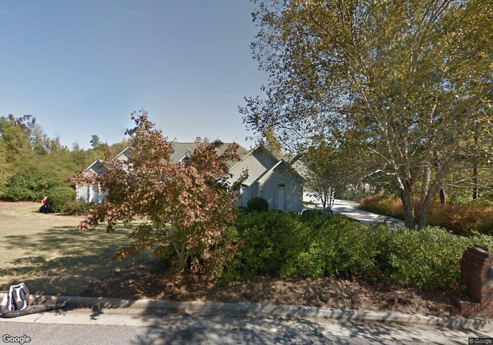
6342 Cape Cod Dr Columbus, GA 31904
North Columbus NeighborhoodEstimated Value: $585,000 - $720,000
5
Beds
4
Baths
5,973
Sq Ft
$113/Sq Ft
Est. Value
About This Home
This home is located at 6342 Cape Cod Dr, Columbus, GA 31904 and is currently estimated at $673,949, approximately $112 per square foot. 6342 Cape Cod Dr is a home located in Muscogee County with nearby schools including River Road Elementary School, Double Churches Middle School, and Northside High School.
Ownership History
Date
Name
Owned For
Owner Type
Purchase Details
Closed on
Dec 18, 2020
Sold by
Bentley Edward Keith
Bought by
Lori And Keith Bentley Rev Tr
Current Estimated Value
Purchase Details
Closed on
May 31, 2017
Sold by
Bentley Edward Keith
Bought by
Bentley Edward Keith and Bentley Lori Royal
Purchase Details
Closed on
May 24, 2017
Sold by
Bentley Allen B
Bought by
Bentley Edward Keith
Purchase Details
Closed on
May 19, 2017
Sold by
Bentley Claudia B
Bought by
Bentley Allen Brooks and Bentley Christopher Benjamin E
Create a Home Valuation Report for This Property
The Home Valuation Report is an in-depth analysis detailing your home's value as well as a comparison with similar homes in the area
Home Values in the Area
Average Home Value in this Area
Purchase History
| Date | Buyer | Sale Price | Title Company |
|---|---|---|---|
| Lori And Keith Bentley Rev Tr | -- | -- | |
| Bentley Edward Keith | -- | -- | |
| Bentley Edward Keith | $133,333 | -- | |
| Bentley Edward Keith | $133,333 | -- | |
| Bentley Allen Brooks | -- | -- |
Source: Public Records
Tax History
| Year | Tax Paid | Tax Assessment Tax Assessment Total Assessment is a certain percentage of the fair market value that is determined by local assessors to be the total taxable value of land and additions on the property. | Land | Improvement |
|---|---|---|---|---|
| 2025 | $7,138 | $258,624 | $29,528 | $229,096 |
| 2024 | $714 | $258,624 | $29,528 | $229,096 |
| 2023 | $6,487 | $258,624 | $29,528 | $229,096 |
| 2022 | $7,444 | $211,560 | $29,528 | $182,032 |
| 2021 | $7,437 | $195,528 | $29,528 | $166,000 |
| 2020 | $7,439 | $195,528 | $29,528 | $166,000 |
| 2019 | $7,464 | $195,528 | $29,528 | $166,000 |
| 2018 | $7,464 | $195,528 | $29,528 | $166,000 |
| 2017 | $5,027 | $198,712 | $29,528 | $169,184 |
| 2016 | $5,046 | $191,047 | $12,920 | $178,127 |
| 2015 | $2,022 | $191,047 | $12,920 | $178,127 |
| 2014 | $2,026 | $191,047 | $12,920 | $178,127 |
| 2013 | -- | $191,047 | $12,920 | $178,127 |
Source: Public Records
Map
Nearby Homes
- 6333 Cape Cod Dr
- 6390 Cape Cod Dr
- 6686 Glenmore Way
- 7281 Mobley Walk Dr
- 6771 Mobley Rd
- 6101 River Rd Unit 13
- 6101 River Rd Unit 2
- 6101 River Rd Unit 5
- 6400 Green Island Dr Unit 42
- 6400 Green Island Dr Unit 2
- 304 Woodstream Dr
- 280 Zachary Ct
- 268 Woodstream Dr
- 7015 Spring Walk Dr
- 248 Woodstream Dr
- 6801 River Rd Unit 406
- 6801 River Rd Unit 407
- 244 Woodstream Dr
- 5602 Morris Ave
- 312 Woodstream Dr
- 6334 Cape Cod Dr
- 6350 Cape Cod Dr
- 6326 Cape Cod Dr
- 6325 Cape Cod Dr
- 6358 Cape Cod Dr
- 6341 Cape Cod Dr
- 6626 Seminary Rd
- 6260 Seminary Rd
- 6317 Cape Cod Dr
- 6366 Cape Cod Dr
- 6318 Cape Cod Dr
- 6252 Seminary Rd
- 6309 Cape Cod Dr
- 850 Lismore Dr
- 6310 Cape Cod Dr
- 6370 Cape Cod Dr
- 6261 Seminary Rd
- 5 Milton Ct
- 6244 Seminary Rd
- 851 Lismore Dr
Your Personal Tour Guide
Ask me questions while you tour the home.