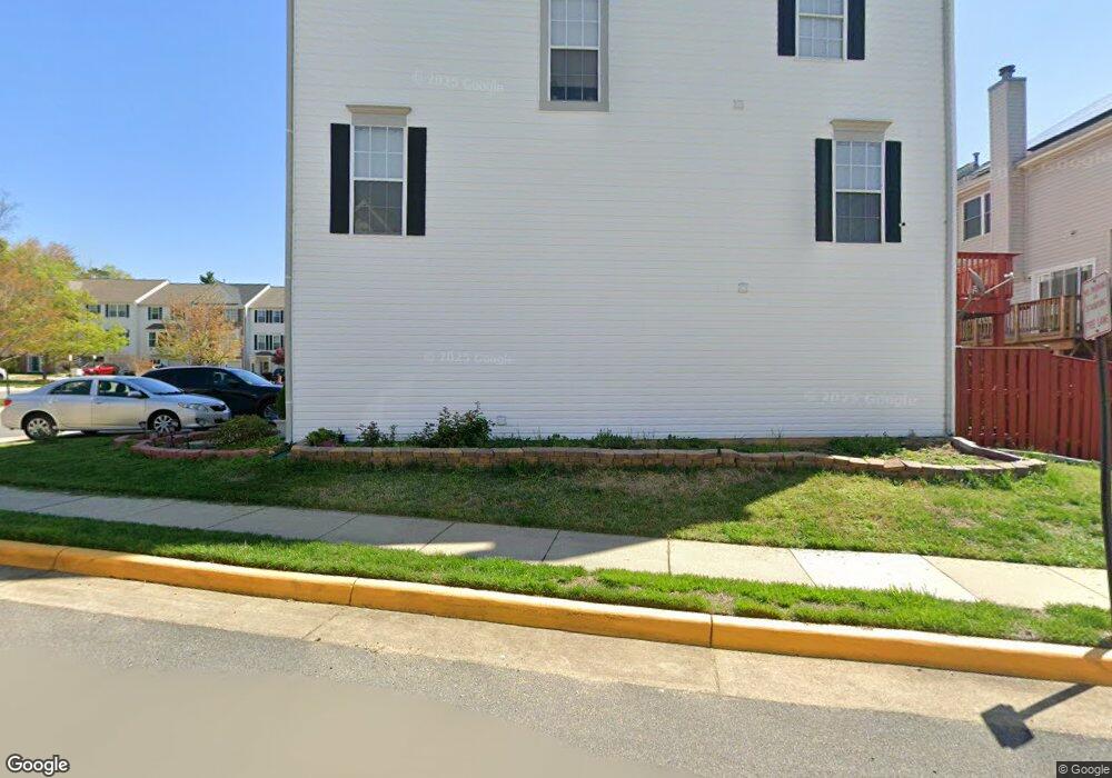
6342 Dakine Cir Springfield, VA 22150
Springtown NeighborhoodEstimated Value: $617,000 - $642,000
3
Beds
4
Baths
1,500
Sq Ft
$422/Sq Ft
Est. Value
About This Home
This home is located at 6342 Dakine Cir, Springfield, VA 22150 and is currently estimated at $633,454, approximately $422 per square foot. 6342 Dakine Cir is a home located in Fairfax County with nearby schools including Forestdale Elementary School, Key Middle, and Lewis High School.
Ownership History
Date
Name
Owned For
Owner Type
Purchase Details
Closed on
Mar 8, 2001
Sold by
Kao Jeffrey Y
Bought by
Mustone David
Current Estimated Value
Home Financials for this Owner
Home Financials are based on the most recent Mortgage that was taken out on this home.
Original Mortgage
$161,600
Outstanding Balance
$59,415
Interest Rate
7.15%
Estimated Equity
$574,039
Purchase Details
Closed on
Sep 25, 1996
Sold by
John Laing Homes Inc
Bought by
Kao Jeffrey
Create a Home Valuation Report for This Property
The Home Valuation Report is an in-depth analysis detailing your home's value as well as a comparison with similar homes in the area
Home Values in the Area
Average Home Value in this Area
Purchase History
| Date | Buyer | Sale Price | Title Company |
|---|---|---|---|
| Mustone David | $202,000 | -- | |
| Kao Jeffrey | $172,000 | -- |
Source: Public Records
Mortgage History
| Date | Status | Borrower | Loan Amount |
|---|---|---|---|
| Open | Mustone David | $161,600 |
Source: Public Records
Tax History
| Year | Tax Paid | Tax Assessment Tax Assessment Total Assessment is a certain percentage of the fair market value that is determined by local assessors to be the total taxable value of land and additions on the property. | Land | Improvement |
|---|---|---|---|---|
| 2025 | $6,386 | $607,210 | $195,000 | $412,210 |
| 2023 | $6,388 | $566,080 | $180,000 | $386,080 |
| 2022 | $5,981 | $523,020 | $165,000 | $358,020 |
| 2021 | $5,472 | $466,330 | $145,000 | $321,330 |
| 2020 | $5,247 | $443,360 | $130,000 | $313,360 |
| 2019 | $5,132 | $433,660 | $126,000 | $307,660 |
| 2018 | $5,066 | $440,500 | $126,000 | $314,500 |
| 2017 | $4,907 | $422,620 | $120,000 | $302,620 |
| 2016 | $4,824 | $416,360 | $120,000 | $296,360 |
Source: Public Records
Map
Nearby Homes
- 6348 Dakine Cir
- 6430 Franconia Rd
- 6350 Racetec Place
- 6582 Forsythia St
- 6262 Casdin Dr
- 6613 Elder Ave
- 6476 Franconia Ct
- 6436 Burwell St
- 6405 Little Potters Ln
- 6262 Summit Point Ct
- 6615 Deer Gap Ct
- 6735 Applemint Ln
- 6139 Cinnamon Ct
- 6279 Alforth Ave
- 6124 Crozet Ct
- 6009 Jennings Ln
- 6703 Cimarron St
- 6753 Edge Cliff Dr
- 6209 Waterlily Ct
- 6901A Keyser Way
- 6344 Dakine Cir
- 6340 Dakine Cir
- 6346 Dakine Cir
- 6338 Dakine Cir
- 6350 Dakine Cir
- 6332 Dakine Cir
- 6330 Dakine Cir
- 6328 Dakine Cir
- 6334 Dakine Cir
- 6326 Dakine Cir
- 6336 Dakine Cir
- 6352 Dakine Cir
- 6324 Dakine Cir
- 6322 Dakine Cir
- 6388 Dakine Cir
- 6386 Dakine Cir
- 6390 Dakine Cir
- 6384 Dakine Cir
- 6392 Dakine Cir
- 6374 Dakine Cir
Your Personal Tour Guide
Ask me questions while you tour the home.