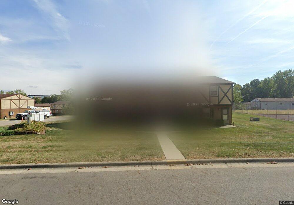
6342 Newtown Dr Columbus, OH 43231
Northern Woods NeighborhoodEstimated Value: $128,642 - $263,000
2
Beds
1
Bath
885
Sq Ft
$215/Sq Ft
Est. Value
About This Home
This home is located at 6342 Newtown Dr, Columbus, OH 43231 and is currently estimated at $190,161, approximately $214 per square foot. 6342 Newtown Dr is a home located in Franklin County with nearby schools including Fouse Elementary School, Genoa Middle School, and Westerville Central High School.
Ownership History
Date
Name
Owned For
Owner Type
Purchase Details
Closed on
Aug 11, 2005
Sold by
Perry Richard L
Bought by
Perry Richard L and Richard L Perry Revocable Living Trust
Current Estimated Value
Purchase Details
Closed on
May 23, 1994
Bought by
Perry Richard L
Purchase Details
Closed on
Aug 17, 1993
Purchase Details
Closed on
Oct 1, 1985
Create a Home Valuation Report for This Property
The Home Valuation Report is an in-depth analysis detailing your home's value as well as a comparison with similar homes in the area
Home Values in the Area
Average Home Value in this Area
Purchase History
| Date | Buyer | Sale Price | Title Company |
|---|---|---|---|
| Perry Richard L | -- | -- | |
| Perry Richard L | $1,248,500 | -- | |
| -- | -- | -- | |
| -- | -- | -- |
Source: Public Records
Tax History Compared to Growth
Tax History
| Year | Tax Paid | Tax Assessment Tax Assessment Total Assessment is a certain percentage of the fair market value that is determined by local assessors to be the total taxable value of land and additions on the property. | Land | Improvement |
|---|---|---|---|---|
| 2024 | $1,126 | $22,050 | $2,100 | $19,950 |
| 2023 | $1,099 | $22,050 | $2,100 | $19,950 |
| 2022 | $928 | $14,210 | $2,030 | $12,180 |
| 2021 | $937 | $14,210 | $2,030 | $12,180 |
| 2020 | $934 | $14,210 | $2,030 | $12,180 |
| 2019 | $853 | $12,360 | $1,750 | $10,610 |
| 2018 | $809 | $12,360 | $1,750 | $10,610 |
| 2017 | $809 | $12,360 | $1,750 | $10,610 |
| 2016 | $781 | $10,510 | $2,350 | $8,160 |
| 2015 | $782 | $10,510 | $2,350 | $8,160 |
| 2014 | $783 | $10,510 | $2,350 | $8,160 |
| 2013 | $390 | $10,500 | $2,345 | $8,155 |
Source: Public Records
Map
Nearby Homes
- 2721 Woodland Trail Dr Unit 2721
- 2727 Patrick Ave
- 3066 Ravine Pointe Dr Unit 3066
- 2981 Blendon Woods Blvd Unit 983
- 2677-2679 Blossom Ave
- 3038 Highcliff Ct
- 3001 Cooper Bluff Dr Unit 3001
- 3070 Highcliff Ct Unit 3070
- 3068 Highcliff Ct Unit 3068
- 2292 Laurelwood Dr Unit 2292L
- 2800 Overview Ct Unit 2800B
- 465 W Schrock Rd
- 2197 Bayfield Dr
- 5841 Forest Hills Blvd Unit 5843
- 6048 Pinemoor St
- 2120 Willowick Dr Unit B
- 6658 Walbridge St
- 5678 Great Hall Ct Unit 12C
- 6448 Sharon Woods Blvd Unit B
- 5681 Oliver St
- 6344 Newtown Dr
- 6344 Newtown Dr Unit 1
- 6340 Newtown Dr
- 6346 Newtown Dr
- 2691 Brianlane Blvd
- 2693 Brianlane Blvd
- 2695 Brianlane Blvd
- 2697 Brianlane Blvd
- 2676 Brianlane Blvd
- 6338 Well Fleet Dr
- 2682 Brianlane Blvd
- 2678 Brianlane Blvd
- 2674 Brianlane Blvd
- 2672 Brianlane Blvd
- 2684 Brianlane Blvd
- 2686 Brianlane Blvd
- 6336 Well Fleet Dr Unit 87
- 6334 Well Fleet Dr
- 6334 Well Fleet Dr Unit 86
- 6346 Well Fleet Dr