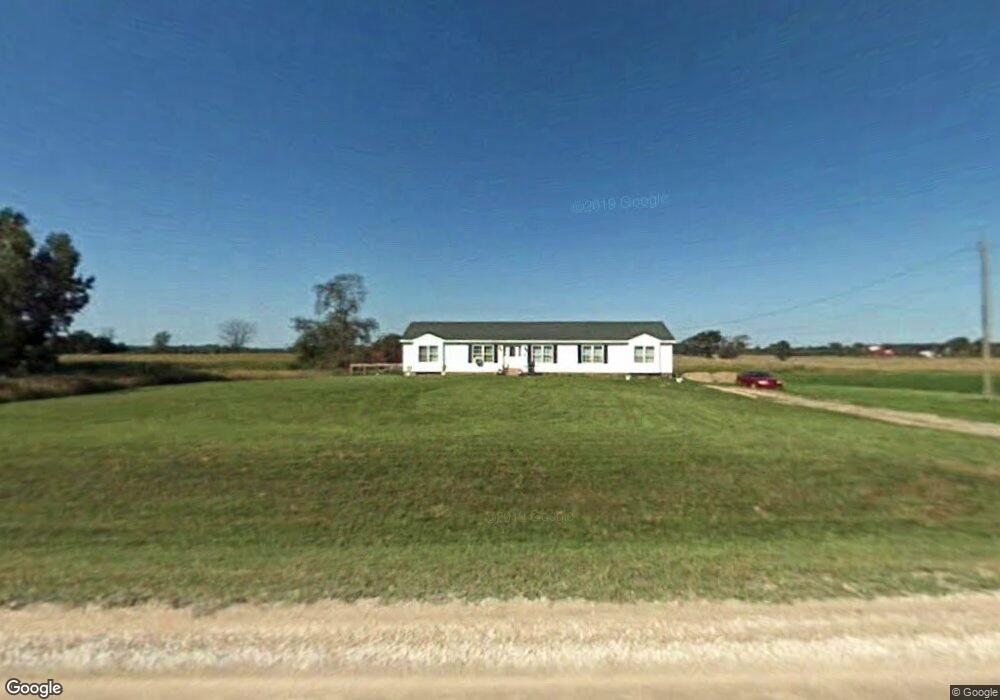
6343 Connell Rd Brockway, MI 48097
Estimated Value: $235,000 - $317,000
Studio
--
Bath
2,084
Sq Ft
$137/Sq Ft
Est. Value
About This Home
This home is located at 6343 Connell Rd, Brockway, MI 48097 and is currently estimated at $284,808, approximately $136 per square foot. 6343 Connell Rd is a home located in St. Clair County with nearby schools including Yale Senior High School.
Ownership History
Date
Name
Owned For
Owner Type
Purchase Details
Closed on
Aug 24, 2006
Sold by
Parkhurst Martin and Parkhurst Martin A
Bought by
M & T Mortgage Corporation
Current Estimated Value
Purchase Details
Closed on
Feb 14, 2005
Sold by
Zuccaro Thomas William and Zuccaro Thomas W
Bought by
Parkhurst Martin
Create a Home Valuation Report for This Property
The Home Valuation Report is an in-depth analysis detailing your home's value as well as a comparison with similar homes in the area
Home Values in the Area
Average Home Value in this Area
Purchase History
| Date | Buyer | Sale Price | Title Company |
|---|---|---|---|
| M & T Mortgage Corporation | $131,310 | None Available | |
| Parkhurst Martin | $24,000 | Philip R Seaver Title Co Inc | |
| Zuccaro Thomas William | $16,667 | Philip R Seaver Title Co Inc |
Source: Public Records
Tax History
| Year | Tax Paid | Tax Assessment Tax Assessment Total Assessment is a certain percentage of the fair market value that is determined by local assessors to be the total taxable value of land and additions on the property. | Land | Improvement |
|---|---|---|---|---|
| 2025 | $760 | $156,500 | $0 | $0 |
| 2024 | $737 | $140,600 | $0 | $0 |
| 2023 | $702 | $119,700 | $0 | $0 |
| 2022 | $1,826 | $101,900 | $0 | $0 |
| 2020 | $1,657 | $84,400 | $84,400 | $0 |
| 2019 | $1,620 | $73,400 | $0 | $0 |
| 2018 | $1,593 | $66,200 | $0 | $0 |
| 2017 | $1,574 | $59,700 | $0 | $0 |
| 2016 | $595 | $59,700 | $0 | $0 |
| 2015 | -- | $59,400 | $59,400 | $0 |
| 2014 | -- | $51,000 | $51,000 | $0 |
| 2013 | -- | $51,300 | $0 | $0 |
Source: Public Records
Map
Nearby Homes
- 5699 Connell Rd
- V/L Rose Rd Unit V/L Metcalf
- 10865 Norman Rd
- 7441 Jordan Rd
- 6919 Emmett Rd
- VL Speaker Rd
- 0 Jorden Unit 50176561
- 6458 Owens Rd
- 0 Sullivan Rd Unit 20251062020
- 209 S Brockway Rd
- 12697 Speaker Rd
- 202 S Main St
- 204 Mary St
- 109 E Wood St
- 100 Hickory Ln
- 106 E Mechanic St
- 203 E Mechanic St
- 206 Arthur St
- 8009 Arendt Rd
- 305 N Kennefic St
- 6394 Connell Rd
- 6394 Connell Rd
- 6394 Connell Rd
- 6265 Connell Rd
- 6265 Connell Rd
- 6265 Connell Rd
- 6421 Connell Rd
- 6453 Connell Rd
- 00 Connell
- 00 Connell Unit on Corner of Connell
- 0 V L Connell Unit 4297609
- 0 V L Connell Unit 914011
- 11675 Norman Rd
- 11661 Norman Rd
- VL Connell Rd
- 00 Connell Rd
- V/L Connell Rd
- 11643 Norman Rd
- 6292 Connell Rd
- 11629 Norman Rd
Your Personal Tour Guide
Ask me questions while you tour the home.