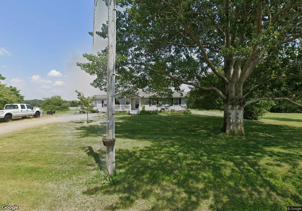
6343 Township Road 136 Findlay, OH 45840
Estimated Value: $257,000 - $352,000
3
Beds
1
Bath
1,724
Sq Ft
$180/Sq Ft
Est. Value
About This Home
This home is located at 6343 Township Road 136, Findlay, OH 45840 and is currently estimated at $310,194, approximately $179 per square foot. 6343 Township Road 136 is a home located in Hancock County with nearby schools including Liberty-Benton Elementary School, Liberty-Benton Middle School, and Liberty-Benton High School.
Ownership History
Date
Name
Owned For
Owner Type
Purchase Details
Closed on
Aug 29, 2005
Sold by
Lentz George R and Lentz Ethel M
Bought by
Sands Ryan and Sands Amy
Current Estimated Value
Home Financials for this Owner
Home Financials are based on the most recent Mortgage that was taken out on this home.
Original Mortgage
$90,240
Interest Rate
6.99%
Mortgage Type
Fannie Mae Freddie Mac
Create a Home Valuation Report for This Property
The Home Valuation Report is an in-depth analysis detailing your home's value as well as a comparison with similar homes in the area
Home Values in the Area
Average Home Value in this Area
Purchase History
| Date | Buyer | Sale Price | Title Company |
|---|---|---|---|
| Sands Ryan | $112,800 | Golden Key Title |
Source: Public Records
Mortgage History
| Date | Status | Borrower | Loan Amount |
|---|---|---|---|
| Closed | Sands Ryan | $90,240 | |
| Closed | Sands Ryan | $22,560 |
Source: Public Records
Tax History Compared to Growth
Tax History
| Year | Tax Paid | Tax Assessment Tax Assessment Total Assessment is a certain percentage of the fair market value that is determined by local assessors to be the total taxable value of land and additions on the property. | Land | Improvement |
|---|---|---|---|---|
| 2024 | $2,820 | $75,790 | $12,050 | $63,740 |
| 2023 | $2,754 | $75,790 | $12,050 | $63,740 |
| 2022 | $2,727 | $75,790 | $12,050 | $63,740 |
| 2021 | $2,293 | $56,270 | $10,790 | $45,480 |
| 2020 | $2,313 | $56,270 | $10,790 | $45,480 |
| 2019 | $2,219 | $56,270 | $10,790 | $45,480 |
| 2018 | $1,806 | $50,560 | $8,990 | $41,570 |
| 2017 | $1,864 | $50,560 | $8,990 | $41,570 |
| 2016 | $1,815 | $50,560 | $8,990 | $41,570 |
| 2015 | $1,579 | $43,070 | $8,990 | $34,080 |
| 2014 | $1,573 | $42,500 | $8,990 | $33,510 |
| 2012 | $1,515 | $39,180 | $8,990 | $30,190 |
Source: Public Records
Map
Nearby Homes
- 8922 Township Road 94
- 7780 Township Road 89
- 0 County Road 95 Unit 6097574
- 0 County Road 140
- 0 Rock Candy Rd Unit Lot 159
- 0 Rock Candy Rd Unit Lot 170
- 0 Rock Candy Rd Unit Lot 172 206819
- 0 Rock Candy Rd Unit Lot 162
- 0 Rock Candy Rd Unit Lot 171
- 0 Rock Candy Rd Unit Lot 168
- 0 Rock Candy Rd Or Bushwillow Dr Unit Lot 173
- 0 Bearcat Way Or Rock Candy Rd Unit Lot 167
- 9960 W Us Route 224
- 0 Bushwillow Dr Or Rock Candy Rd Unit Lot 157
- 6535 Silver Lake Dr
- 1405 Cypress Lake
- 3106 Saddlebrook
- 5330 State Route 186
- 3018 Gleneagle Dr
- 0 County Road 223
- 8114 Township Road 95
- 8099 Township Road 95
- 6740 Township Road 136
- 7877 Township Road 95
- 7797 Township Road 95
- 8295 Township Road 95
- 6671 Township Road 136
- 7727 Trail 95
- 6750 Township Road 136
- 7685 Township Road 95
- 8434 Township Road 95
- 8408 Township Road 95
- 7580 Township Road 95
- 6760 Township Road 136
- 7585 Township Road 95
- 6755 Township Road 136
- 6820 Township Road 136
- 7561 Township Road 95
- 8471 Township Road 95
- 7495 Township Road 95