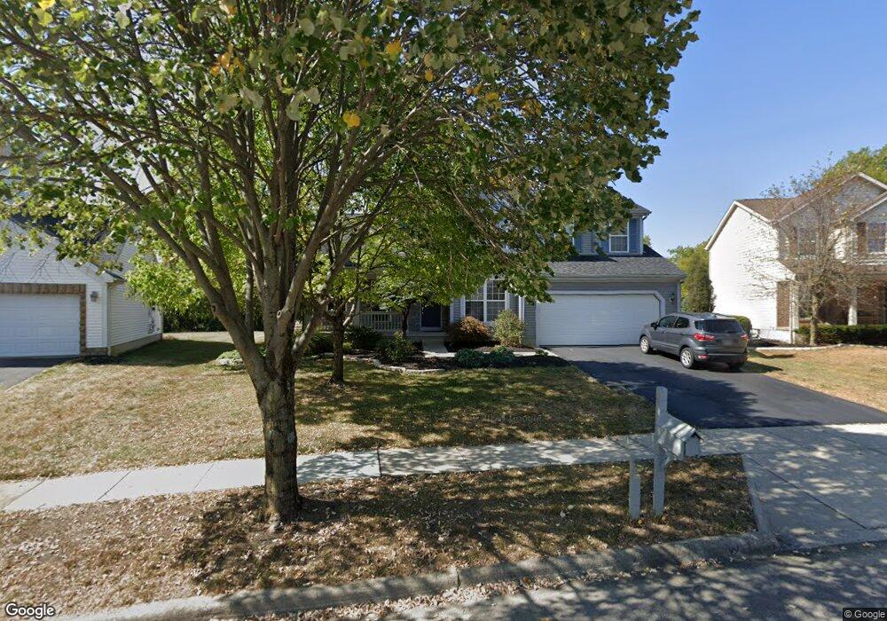
6344 Rossmore Ln Canal Winchester, OH 43110
Estimated Value: $445,000 - $534,000
4
Beds
3
Baths
2,465
Sq Ft
$194/Sq Ft
Est. Value
About This Home
This home is located at 6344 Rossmore Ln, Canal Winchester, OH 43110 and is currently estimated at $477,135, approximately $193 per square foot. 6344 Rossmore Ln is a home located in Franklin County with nearby schools including Winchester Trail Elementary School, Indian Trail Elementary School, and Canal Winchester Middle School.
Ownership History
Date
Name
Owned For
Owner Type
Purchase Details
Closed on
Dec 31, 1998
Sold by
M/I Schottenstein Homes Inc
Bought by
Bias Philip L and Bias Lori L
Current Estimated Value
Home Financials for this Owner
Home Financials are based on the most recent Mortgage that was taken out on this home.
Original Mortgage
$177,150
Outstanding Balance
$41,336
Interest Rate
6.83%
Estimated Equity
$435,799
Purchase Details
Closed on
Jun 23, 1998
Sold by
Eastside Properties Ptnrshp
Bought by
M/I Schottenstein Home Inc
Create a Home Valuation Report for This Property
The Home Valuation Report is an in-depth analysis detailing your home's value as well as a comparison with similar homes in the area
Home Values in the Area
Average Home Value in this Area
Purchase History
| Date | Buyer | Sale Price | Title Company |
|---|---|---|---|
| Bias Philip L | $221,500 | Transohio Residential Title | |
| M/I Schottenstein Home Inc | $34,600 | -- |
Source: Public Records
Mortgage History
| Date | Status | Borrower | Loan Amount |
|---|---|---|---|
| Open | Bias Philip L | $177,150 |
Source: Public Records
Tax History Compared to Growth
Tax History
| Year | Tax Paid | Tax Assessment Tax Assessment Total Assessment is a certain percentage of the fair market value that is determined by local assessors to be the total taxable value of land and additions on the property. | Land | Improvement |
|---|---|---|---|---|
| 2024 | $7,594 | $136,220 | $39,690 | $96,530 |
| 2023 | $7,550 | $136,220 | $39,690 | $96,530 |
| 2022 | $6,773 | $103,040 | $14,490 | $88,550 |
| 2021 | $6,844 | $103,040 | $14,490 | $88,550 |
| 2020 | $6,828 | $103,040 | $14,490 | $88,550 |
| 2019 | $6,658 | $85,790 | $12,080 | $73,710 |
| 2018 | $6,224 | $85,790 | $12,080 | $73,710 |
| 2017 | $6,224 | $85,790 | $12,080 | $73,710 |
| 2016 | $5,911 | $71,830 | $10,960 | $60,870 |
| 2015 | $5,927 | $71,830 | $10,960 | $60,870 |
| 2014 | $5,548 | $71,830 | $10,960 | $60,870 |
| 2013 | $2,886 | $75,600 | $11,515 | $64,085 |
Source: Public Records
Map
Nearby Homes
- 6469 Tallman Ct
- 6430 Rossmore Ln
- 6185 Dietz Dr
- 6571 Hemmingford Dr
- 6558 Hemmingford Dr
- 6535 Hemmingford Dr
- 6216 Meriden Ct
- 7250 Old Creek Ln
- 0 Groveport Rd
- 7191 Rosemount Way
- 525 Gender Rd
- 963 Groveport Rd
- 7362 Bromfield Dr
- 7265 Bromfield Dr
- 7288 Bromfield Dr
- 7412 Connor Ct
- 6910 Canal St
- 180 Woodsview Dr
- 6065 Wilson Dr
- 6516 Lakeview Cir Unit 6516
- 6346 Rossmore Ln
- 6348 Rossmore Ln
- 6340 Rossmore Ln
- 6336 Rossmore Ln
- 6356 Rossmore Ln
- 6349 Rossmore Ln
- 6332 Rossmore Ln
- 6362 Rossmore Ln
- 6363 Rossmore Ln
- 6341 Rossmore Ln
- 6372 Rossmore Ln
- 6328 Rossmore Ln
- 6337 Rossmore Ln
- 6373 Rossmore Ln
- 375 Gender Rd
- 6380 Rossmore Ln
- 6991 Pearce Ln
- 6987 Pearce Ln
- 6324 Rossmore Ln
- 6383 Rossmore Ln