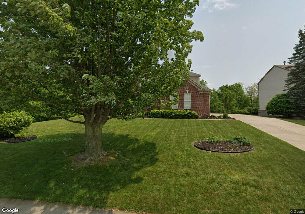
6345 Moonstone Dr Unit 17 Grand Blanc, MI 48439
Estimated Value: $446,323 - $494,000
4
Beds
5
Baths
3,165
Sq Ft
$149/Sq Ft
Est. Value
About This Home
This home is located at 6345 Moonstone Dr Unit 17, Grand Blanc, MI 48439 and is currently estimated at $472,581, approximately $149 per square foot. 6345 Moonstone Dr Unit 17 is a home located in Genesee County with nearby schools including Indian Hill Elementary School, Grand Blanc East Middle School, and Grand Blanc High School.
Ownership History
Date
Name
Owned For
Owner Type
Purchase Details
Closed on
May 25, 2007
Sold by
Sirva Relocation Credit Llc
Bought by
Taylor Michael Andrew and Taylor Barbara Raquel
Current Estimated Value
Home Financials for this Owner
Home Financials are based on the most recent Mortgage that was taken out on this home.
Original Mortgage
$46,500
Interest Rate
6.21%
Mortgage Type
Stand Alone Second
Purchase Details
Closed on
Sep 30, 2004
Sold by
Pulte Land Co Llc
Bought by
Walsh Patrick G and Walsh Denise M
Create a Home Valuation Report for This Property
The Home Valuation Report is an in-depth analysis detailing your home's value as well as a comparison with similar homes in the area
Home Values in the Area
Average Home Value in this Area
Purchase History
| Date | Buyer | Sale Price | Title Company |
|---|---|---|---|
| Taylor Michael Andrew | $310,000 | Stewart | |
| Sirva Relocation Credit Llc | $310,000 | Stewart | |
| Walsh Patrick G | $84,000 | Metropolitan Title Company |
Source: Public Records
Mortgage History
| Date | Status | Borrower | Loan Amount |
|---|---|---|---|
| Closed | Taylor Michael Andrew | $46,500 | |
| Closed | Sirva Relocation Credit Llc | $46,500 | |
| Open | Taylor Michael Andrew | $248,000 |
Source: Public Records
Tax History Compared to Growth
Tax History
| Year | Tax Paid | Tax Assessment Tax Assessment Total Assessment is a certain percentage of the fair market value that is determined by local assessors to be the total taxable value of land and additions on the property. | Land | Improvement |
|---|---|---|---|---|
| 2025 | $6,829 | $209,100 | $0 | $0 |
| 2024 | $4,068 | $192,500 | $0 | $0 |
| 2023 | $3,881 | $208,200 | $0 | $0 |
| 2022 | $6,007 | $179,900 | $0 | $0 |
| 2021 | $5,911 | $172,600 | $0 | $0 |
| 2020 | $3,579 | $166,700 | $0 | $0 |
| 2019 | $3,526 | $157,200 | $0 | $0 |
| 2018 | $5,482 | $159,700 | $0 | $0 |
| 2017 | $5,193 | $162,200 | $0 | $0 |
| 2016 | $5,149 | $156,000 | $0 | $0 |
| 2015 | $4,906 | $156,600 | $0 | $0 |
| 2012 | -- | $124,200 | $124,200 | $0 |
Source: Public Records
Map
Nearby Homes
- 6296 Moonstone Dr
- 6241 Sapphire Ct Unit 34
- 7012 Marigold Ct
- 7014 Marigold Ct
- Integrity 1830 Plan at Meadows at McDonald Farms
- Integrity 1880 Plan at Meadows at McDonald Farms
- 6363 Amber Ln
- 6284 Westview Dr
- 6481 Perry Rd
- 6361 Samson Dr
- 7121 Primrose Ln
- VL Linden
- 6068 Hearthside Place
- VL Perry Rd
- 6358 Windham Place
- 7250 Glen View Ln
- 5462 Chatham Ln
- 11950 Belsay Rd
- 1334 Greenview Dr
- 6429 Jamie Ln
- 6355 Moonstone Dr Unit 16
- 6365 Moonstone Dr Unit 15
- 6140 Emerald Dr Unit 18
- 6375 Moonstone Dr Unit 14
- 6146 Emerald Dr
- 6358 Tanglewood Ln
- 6366 Tanglewood Ln
- 6346 Tanglewood Ln
- 6385 Moonstone Dr Unit 13
- 6149 Emerald Dr Unit 55
- 6233 Emerald Dr Unit 60
- 6152 Emerald Dr Unit 20
- 6332 Tanglewood Ln
- 6376 Tanglewood Ln
- 6314 Tanglewood Ln
- 6395 Moonstone Dr Unit 12
- 6294 Tanglewood Ln
- 6223 Emerald Dr Unit 59
- 6155 Emerald Dr Unit 56
- 6158 Emerald Dr