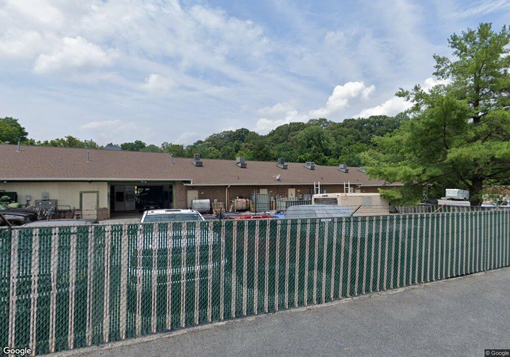
6345 S Carroll Park Dr Sykesville, MD 21784
Estimated Value: $1,550,063
--
Bed
--
Bath
9,250
Sq Ft
$168/Sq Ft
Est. Value
About This Home
This home is located at 6345 S Carroll Park Dr, Sykesville, MD 21784 and is currently estimated at $1,550,063, approximately $167 per square foot. 6345 S Carroll Park Dr is a home located in Carroll County with nearby schools including Freedom District Elementary School, Oklahoma Road Middle School, and Liberty High School.
Ownership History
Date
Name
Owned For
Owner Type
Purchase Details
Closed on
Feb 28, 2024
Sold by
Micheal Hrones Llc and Michael Hrones Llc
Bought by
2150 Llc
Current Estimated Value
Purchase Details
Closed on
Jun 15, 2006
Sold by
Liberty General Partnership
Bought by
Michael Hrones Llc
Home Financials for this Owner
Home Financials are based on the most recent Mortgage that was taken out on this home.
Original Mortgage
$900,000
Interest Rate
7.75%
Mortgage Type
Commercial
Purchase Details
Closed on
Apr 19, 1985
Sold by
Dimick Frank E
Bought by
Liberty General Partnership
Create a Home Valuation Report for This Property
The Home Valuation Report is an in-depth analysis detailing your home's value as well as a comparison with similar homes in the area
Home Values in the Area
Average Home Value in this Area
Purchase History
| Date | Buyer | Sale Price | Title Company |
|---|---|---|---|
| 2150 Llc | -- | None Listed On Document | |
| Michael Hrones Llc | $1,100,000 | -- | |
| Liberty General Partnership | $125,000 | -- |
Source: Public Records
Mortgage History
| Date | Status | Borrower | Loan Amount |
|---|---|---|---|
| Previous Owner | Michael Hrones Llc | $900,000 |
Source: Public Records
Tax History Compared to Growth
Tax History
| Year | Tax Paid | Tax Assessment Tax Assessment Total Assessment is a certain percentage of the fair market value that is determined by local assessors to be the total taxable value of land and additions on the property. | Land | Improvement |
|---|---|---|---|---|
| 2025 | $10,768 | $963,300 | $0 | $0 |
| 2024 | $10,768 | $926,200 | $217,800 | $708,400 |
| 2023 | $10,707 | $920,767 | $0 | $0 |
| 2022 | $10,646 | $915,333 | $0 | $0 |
| 2021 | $21,991 | $909,900 | $217,800 | $692,100 |
| 2020 | $10,185 | $869,733 | $0 | $0 |
| 2019 | $9,731 | $829,567 | $0 | $0 |
| 2018 | $9,197 | $789,400 | $217,800 | $571,600 |
| 2017 | $9,075 | $778,567 | $0 | $0 |
| 2016 | -- | $767,733 | $0 | $0 |
| 2015 | -- | $756,900 | $0 | $0 |
| 2014 | -- | $756,900 | $0 | $0 |
Source: Public Records
Map
Nearby Homes
- 1822 Cassandra Dr Unit 117
- 6515 Dundee Dr Unit 240
- 6467 Cornwall Dr Unit 56
- 1900 Lennox Dr Unit 41
- 1900 Lennox Dr Unit 49
- 1909 Lennox Dr Unit 90
- 2023 Rudy Serra Dr Unit 2D
- 2016 Rudy Serra Dr Unit A
- 2016 Rudy Serra Dr Unit C
- 6223 E Hemlock Dr
- 2003 Rudy Serra Dr Unit 1D
- 2010 Rudy Serra Dr Unit C
- 1809 Fallstaff Ct
- 6670 Slacks Rd
- 6210 Rolling View Dr
- 6565 Macbeth Way
- Lot 1 Carroll Highlands Rd
- 1696 Gemini Dr
- 6741 Quad Ln
- 7025 Macbeth Way
- 6345 S Carroll Park Dr Unit E
- 6345 S Carroll Park Dr Unit C
- 6345 S Carroll Park Dr Unit F
- 1912 Liberty Rd
- 2 Liberty Rd
- 6355 S Carroll Park Dr
- 6350 S Carroll Park Dr
- 1840 Liberty Rd
- 6340 S Carroll Park Dr
- 1900 Liberty Rd
- 1918 Liberty Rd
- 1838 Liberty Rd
- 1834 Liberty Rd
- 1932 Liberty Rd
- 1907 Brightwood Ct
- 1905 Brightwood Ct
- 6309 Oklahoma Rd
- 1830 Liberty Rd
- 6337 Oklahoma Rd
- 1936 Liberty Rd