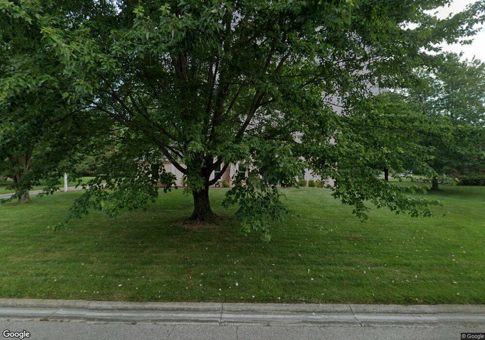
6346 S Devonshire Dr Loveland, OH 45140
Outer Loveland NeighborhoodEstimated Value: $494,397 - $556,000
4
Beds
3
Baths
2,760
Sq Ft
$190/Sq Ft
Est. Value
About This Home
This home is located at 6346 S Devonshire Dr, Loveland, OH 45140 and is currently estimated at $524,099, approximately $189 per square foot. 6346 S Devonshire Dr is a home located in Clermont County with nearby schools including Milford Senior High School, Milford Christian Academy, and St. Andrew - St. Elizabeth Ann Seton School.
Ownership History
Date
Name
Owned For
Owner Type
Purchase Details
Closed on
Dec 5, 2023
Sold by
Korfhagen Mary T and Korfhagen John C
Bought by
Korfhagen Mary T and Korfhagen John C
Current Estimated Value
Purchase Details
Closed on
Jul 7, 1993
Purchase Details
Closed on
Jul 7, 1992
Purchase Details
Closed on
Jul 1, 1992
Purchase Details
Closed on
May 1, 1989
Create a Home Valuation Report for This Property
The Home Valuation Report is an in-depth analysis detailing your home's value as well as a comparison with similar homes in the area
Home Values in the Area
Average Home Value in this Area
Purchase History
| Date | Buyer | Sale Price | Title Company |
|---|---|---|---|
| Korfhagen Mary T | $125 | None Listed On Document | |
| Korfhagen Mary T | $125 | None Listed On Document | |
| -- | $205,000 | -- | |
| -- | $205,000 | -- | |
| -- | $183,900 | -- | |
| -- | $169,000 | -- |
Source: Public Records
Tax History Compared to Growth
Tax History
| Year | Tax Paid | Tax Assessment Tax Assessment Total Assessment is a certain percentage of the fair market value that is determined by local assessors to be the total taxable value of land and additions on the property. | Land | Improvement |
|---|---|---|---|---|
| 2024 | $6,248 | $133,670 | $21,910 | $111,760 |
| 2023 | $6,311 | $133,670 | $21,910 | $111,760 |
| 2022 | $6,077 | $98,110 | $15,750 | $82,360 |
| 2021 | $6,076 | $98,110 | $15,750 | $82,360 |
| 2020 | $5,821 | $98,110 | $15,750 | $82,360 |
| 2019 | $6,057 | $96,990 | $17,960 | $79,030 |
| 2018 | $6,069 | $96,990 | $17,960 | $79,030 |
| 2017 | $5,718 | $96,990 | $17,960 | $79,030 |
| 2016 | $5,878 | $85,090 | $15,750 | $69,340 |
| 2015 | $5,334 | $85,090 | $15,750 | $69,340 |
| 2014 | $5,334 | $85,090 | $15,750 | $69,340 |
| 2013 | $5,263 | $81,410 | $17,500 | $63,910 |
Source: Public Records
Map
Nearby Homes
- 1513 Charleston Ln
- 6211 Cook Rd
- 6379 Derbyshire Ln
- 1113 Clover Field Dr
- 6141 Brandywine Ct
- 6365 Ironwood Dr
- 6149 Century Farm Dr
- 1331 Harbor Cove
- 5933 Firm Stance Dr
- 6661 Paxton Guinea Rd
- 1140 Weber Rd
- 2013 Weber Rd
- 899 Murle Ln
- 709 Middleton Way
- 1803 Wheatfield Way
- 802 Andrea Dr
- 6469 Brittany Ln
- 945 Paul Vista Dr
- 6211 Spires Dr
- 1706 Cottontail Dr
- 6348 S Devonshire Dr
- 6344 S Devonshire Dr
- 1507 Charleston Ln
- 1509 Charleston Ln
- 1505 Charleston Ln
- 6329 S Devonshire Dr
- 6350 S Devonshire Dr
- 6331 S Devonshire Dr
- 6333 S Devonshire Dr
- 6327 S Devonshire Dr
- 6342 S Devonshire Dr
- 6335 S Devonshire Dr
- 6325 S Devonshire Dr
- 1503 Charleston Ln
- 6352 S Devonshire Dr
- 1511 Charleston Ln
- 1502 Charleston Ln
- 1504 Charleston Ln
- 6337 S Devonshire Dr
- 1506 Charleston Ln
