63467 Railroad Rd Coos Bay, OR 97420
Estimated Value: $366,000 - $419,137
3
Beds
2
Baths
1,596
Sq Ft
$246/Sq Ft
Est. Value
About This Home
This home is located at 63467 Railroad Rd, Coos Bay, OR 97420 and is currently estimated at $392,569, approximately $245 per square foot. 63467 Railroad Rd is a home located in Coos County with nearby schools including Eastside School, Millicoma School, and Marshfield Senior High School.
Ownership History
Date
Name
Owned For
Owner Type
Purchase Details
Closed on
Sep 3, 2009
Sold by
Prouty Paul
Bought by
Rempelos Robert G and Rempelos Teresa D
Current Estimated Value
Home Financials for this Owner
Home Financials are based on the most recent Mortgage that was taken out on this home.
Original Mortgage
$204,081
Outstanding Balance
$133,468
Interest Rate
5.19%
Mortgage Type
New Conventional
Estimated Equity
$259,101
Create a Home Valuation Report for This Property
The Home Valuation Report is an in-depth analysis detailing your home's value as well as a comparison with similar homes in the area
Home Values in the Area
Average Home Value in this Area
Purchase History
| Date | Buyer | Sale Price | Title Company |
|---|---|---|---|
| Rempelos Robert G | $200,000 | Fidelity National Title Co |
Source: Public Records
Mortgage History
| Date | Status | Borrower | Loan Amount |
|---|---|---|---|
| Open | Rempelos Robert G | $204,081 |
Source: Public Records
Tax History Compared to Growth
Tax History
| Year | Tax Paid | Tax Assessment Tax Assessment Total Assessment is a certain percentage of the fair market value that is determined by local assessors to be the total taxable value of land and additions on the property. | Land | Improvement |
|---|---|---|---|---|
| 2024 | $3,491 | $281,590 | -- | -- |
| 2023 | $3,386 | $273,390 | $0 | $0 |
| 2022 | $3,349 | $265,430 | $0 | $0 |
| 2021 | $3,268 | $257,700 | $0 | $0 |
| 2020 | $3,183 | $257,700 | $0 | $0 |
| 2019 | $3,047 | $242,920 | $0 | $0 |
| 2018 | $2,944 | $235,850 | $0 | $0 |
| 2017 | $2,466 | $228,990 | $0 | $0 |
| 2016 | $2,788 | $222,330 | $0 | $0 |
| 2015 | $2,137 | $205,700 | $0 | $0 |
| 2014 | $2,283 | $215,860 | $0 | $0 |
Source: Public Records
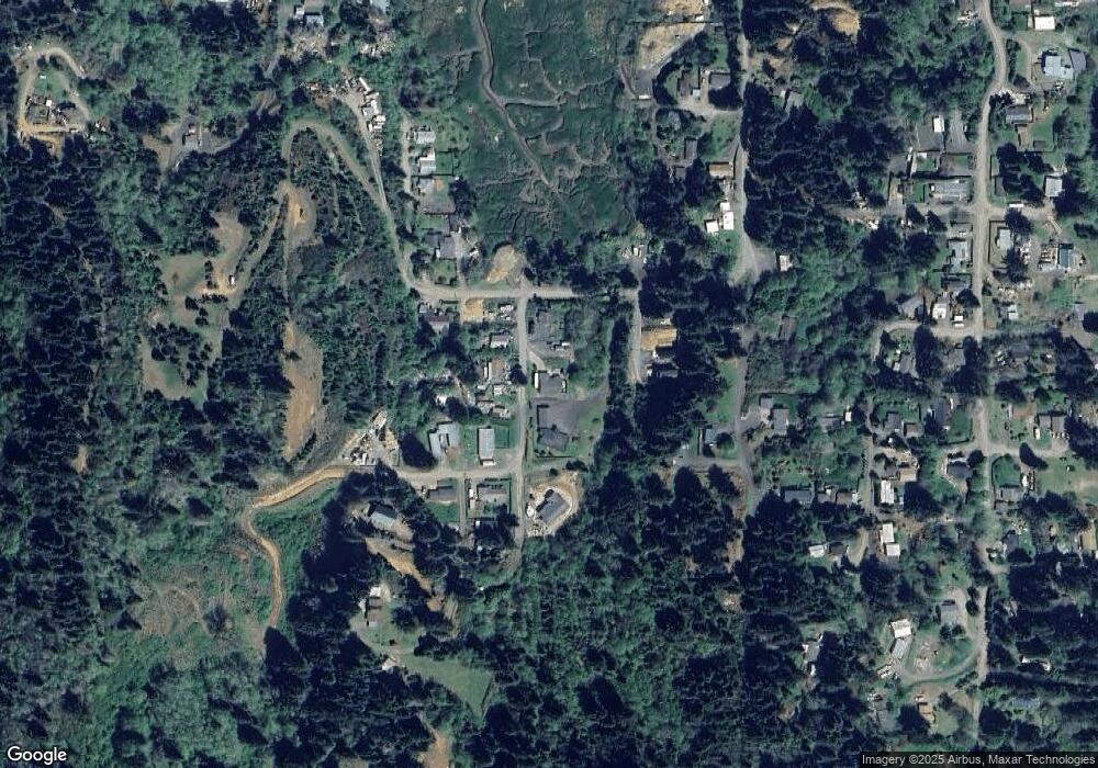
Map
Nearby Homes
- 0 Miriam Unit 740433342
- 63606 Andrews Rd
- 0 Flanagan Rd
- 63232 Flanasgan Rd Unit LotWP001
- 63533 Flanagan Rd
- 0 Andrews Rd Unit 1 633770545
- 0 Andrews Rd
- 93195 Coal Bank Ln
- 63642 Flanagan Rd
- 0 Graham St Unit 546213972
- 63474 3rd Rd
- 93711 Bay Park Ln
- 63491 2nd Street Loop
- 63505 2nd Street Loop
- 63757 Harriet Rd
- 93746 Lorain Ln
- 63755 Flanagan Rd
- 93778 Bay Park Ln
- 766 Southwest Blvd
- 1032 S 4th St
- 63431 Railroad Rd
- 63448 Railroad Rd
- 63469 Railroad Rd
- 63456 Railroad Rd
- 63464 Railroad Rd
- 63434 Railroad Rd
- 0 Alabama Ave
- 1702 Railroad St
- 93418 Alabama Ln
- 63455 Council Rd
- 0 Railroad Unit 19106066
- 0 Railroad Unit 15029139
- 0 Railroad Unit 18209635
- 63421 Railroad Rd
- 93406 Alabama Ln
- 63432 Railroad Rd
- 63426 Railroad Rd
- 63465 Council Rd
- 63420 Railroad Rd
- 0 Bready Unit 18652831