Estimated Value: $327,000 - $373,000
3
Beds
2
Baths
1,924
Sq Ft
$183/Sq Ft
Est. Value
About This Home
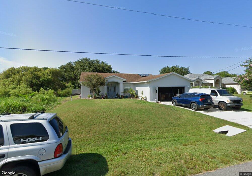
This home is located at 6348 Dearman St, Cocoa, FL 32927 and is currently estimated at $352,871, approximately $183 per square foot. 6348 Dearman St is a home located in Brevard County with nearby schools including Enterprise Elementary School, Space Coast Junior/Senior High School, and East Atlantic Prep of Brevard County.
Ownership History
Date
Name
Owned For
Owner Type
Purchase Details
Closed on
Jul 21, 2021
Sold by
Chadbourne Douglas J and Chadbourne Judith L
Bought by
Chadbourne Douglas J and Douglas J Chadbourne Trust
Current Estimated Value
Purchase Details
Closed on
Apr 12, 2004
Sold by
Rci Building & Development Inc
Bought by
Cascella Andrew D and Cascella Elizabeth
Home Financials for this Owner
Home Financials are based on the most recent Mortgage that was taken out on this home.
Original Mortgage
$140,000
Outstanding Balance
$65,330
Interest Rate
5.54%
Estimated Equity
$287,541
Purchase Details
Closed on
Jun 21, 2001
Sold by
Rasmussen Dwain H
Bought by
Leavy Maurice
Create a Home Valuation Report for This Property
The Home Valuation Report is an in-depth analysis detailing your home's value as well as a comparison with similar homes in the area
Home Values in the Area
Average Home Value in this Area
Purchase History
| Date | Buyer | Sale Price | Title Company |
|---|---|---|---|
| Chadbourne Douglas J | -- | Accommodation | |
| Cascella Andrew D | $175,000 | Town & Country Title Inc | |
| Leavy Maurice | $2,800 | -- |
Source: Public Records
Mortgage History
| Date | Status | Borrower | Loan Amount |
|---|---|---|---|
| Open | Cascella Andrew D | $140,000 |
Source: Public Records
Tax History
| Year | Tax Paid | Tax Assessment Tax Assessment Total Assessment is a certain percentage of the fair market value that is determined by local assessors to be the total taxable value of land and additions on the property. | Land | Improvement |
|---|---|---|---|---|
| 2025 | $4,517 | $315,450 | -- | -- |
| 2024 | $4,241 | $318,320 | -- | -- |
| 2023 | $4,241 | $289,830 | $0 | $0 |
| 2022 | $4,059 | $273,010 | $0 | $0 |
| 2021 | $3,579 | $219,440 | $42,000 | $177,440 |
| 2020 | $3,302 | $199,110 | $40,000 | $159,110 |
| 2019 | $3,229 | $191,720 | $35,000 | $156,720 |
| 2018 | $3,095 | $179,930 | $27,000 | $152,930 |
| 2017 | $2,976 | $167,050 | $24,000 | $143,050 |
| 2016 | $2,798 | $144,740 | $18,000 | $126,740 |
| 2015 | $2,682 | $132,410 | $15,000 | $117,410 |
| 2014 | $1,270 | $91,720 | $11,000 | $80,720 |
Source: Public Records
Map
Nearby Homes
- 6510 Aspen Ln
- 6115 Allmont St
- 6220 Golfview Ave
- 6135 Allmont St
- 6200 Edison St
- 6150 Baltimore Ave
- 6105 Banyan St
- 6545 Addie Ave
- 6460 Homestead Ave
- 23-35-21-JX-B-2 Aruin St
- 00000 Golfview Ave
- 6470 Bamboo Ave
- 6085 Edison St
- 6574 Bamboo Ave
- 0 Aruin St Unit 1222557
- 6460 Ainsworth Rd
- 6250 Ainsworth Rd
- 6230 Balsam St
- 6180 Balboa St
- 6215 Balboa St
Your Personal Tour Guide
Ask me questions while you tour the home.