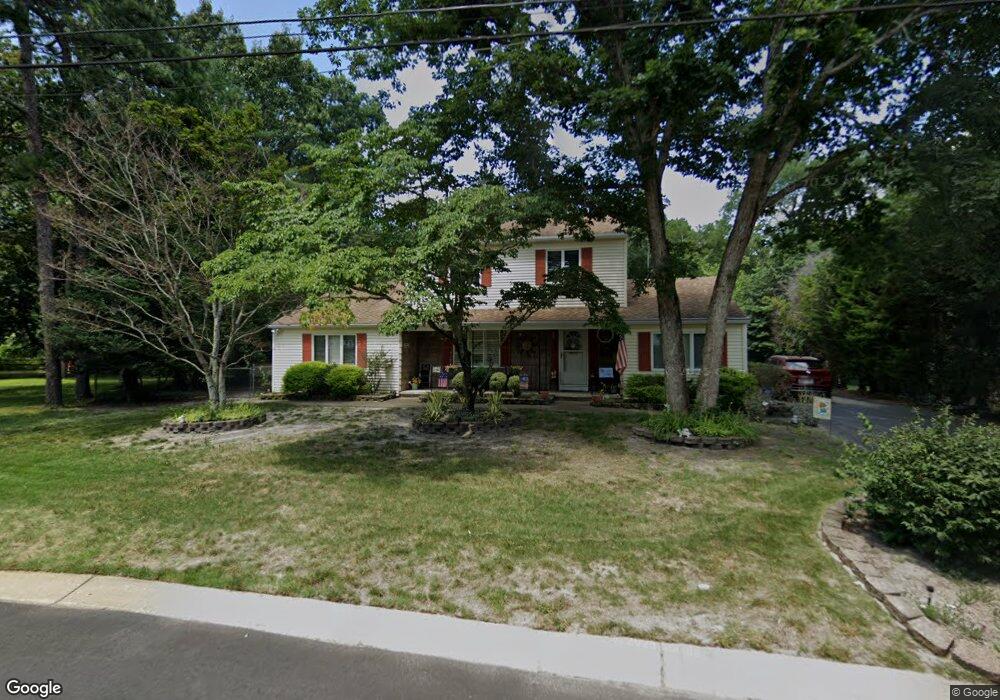
6349 Beech Ln Mays Landing, NJ 08330
Estimated Value: $330,247 - $443,000
--
Bed
--
Bath
2,382
Sq Ft
$167/Sq Ft
Est. Value
About This Home
This home is located at 6349 Beech Ln, Mays Landing, NJ 08330 and is currently estimated at $398,312, approximately $167 per square foot. 6349 Beech Ln is a home located in Atlantic County with nearby schools including Joseph Shaner School, George L. Hess Educational Complex, and William Davies Middle School.
Ownership History
Date
Name
Owned For
Owner Type
Purchase Details
Closed on
Apr 17, 2018
Sold by
Schollins Robert J and Clark Lynda M
Bought by
Schollins Robert J and Clark Lynda M
Current Estimated Value
Purchase Details
Closed on
May 1, 2000
Sold by
Schollins Robert J
Bought by
Schollins Robert J and Clark Lynda M
Purchase Details
Closed on
Aug 23, 1993
Sold by
Stehle Rose Marie L
Bought by
Schollins Fred A and Schollins Margaret A
Create a Home Valuation Report for This Property
The Home Valuation Report is an in-depth analysis detailing your home's value as well as a comparison with similar homes in the area
Home Values in the Area
Average Home Value in this Area
Purchase History
| Date | Buyer | Sale Price | Title Company |
|---|---|---|---|
| Schollins Robert J | -- | None Available | |
| Schollins Robert J | -- | -- | |
| Schollins Fred A | $135,000 | -- |
Source: Public Records
Tax History Compared to Growth
Tax History
| Year | Tax Paid | Tax Assessment Tax Assessment Total Assessment is a certain percentage of the fair market value that is determined by local assessors to be the total taxable value of land and additions on the property. | Land | Improvement |
|---|---|---|---|---|
| 2025 | $7,250 | $211,300 | $49,800 | $161,500 |
| 2024 | $7,250 | $211,300 | $49,800 | $161,500 |
| 2023 | $6,317 | $211,300 | $49,800 | $161,500 |
| 2022 | $6,317 | $211,300 | $49,800 | $161,500 |
| 2021 | $6,302 | $211,300 | $49,800 | $161,500 |
| 2020 | $6,302 | $211,300 | $49,800 | $161,500 |
| 2019 | $6,319 | $211,300 | $49,800 | $161,500 |
| 2018 | $6,080 | $211,300 | $49,800 | $161,500 |
| 2017 | $5,976 | $211,300 | $49,800 | $161,500 |
| 2016 | $5,795 | $211,300 | $49,800 | $161,500 |
| 2015 | $5,581 | $211,300 | $49,800 | $161,500 |
| 2014 | $5,865 | $242,300 | $57,800 | $184,500 |
Source: Public Records
Map
Nearby Homes
- 6314 Lance Ave
- 37 Delancy Ct
- 6310 Phillips Ave
- 6301 Knight Ave
- 150 Rainbow Dr
- 0 Harding Hwy Unit NJAC2019438
- 0 Harding Hwy Unit 597638
- 6301 Roberts Ave
- 6206 Roberts Ave
- 6140 Robin Dr
- 16 Holly Ct
- 24 Holly Ct
- 13 Hickory Ln
- 14 Hickory Ln
- 10 Locust Ct
- 5 Camac Ave
- 39 Dogwood Ln Unit OAKS OF WEYMOUTH
- 39 Dogwood Ln
- 1 Walnut Ct
- 80 Mill St