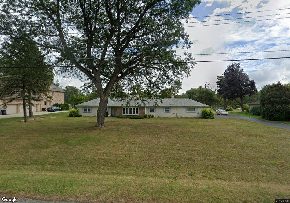
6349 Dakota Cir Bloomfield Hills, MI 48301
Estimated Value: $667,000 - $1,119,000
3
Beds
3
Baths
1,816
Sq Ft
$453/Sq Ft
Est. Value
About This Home
This home is located at 6349 Dakota Cir, Bloomfield Hills, MI 48301 and is currently estimated at $822,130, approximately $452 per square foot. 6349 Dakota Cir is a home located in Oakland County with nearby schools including Conant Elementary School, South Hills Middle School, and Bloomfield Hills High School.
Ownership History
Date
Name
Owned For
Owner Type
Purchase Details
Closed on
May 2, 2014
Sold by
Petzer D Elizabeth
Bought by
Petzer Dorothy Elizabeth and Dorothy Elizabeth Petzer Revocable Livin
Current Estimated Value
Purchase Details
Closed on
Jun 16, 2011
Sold by
Petzer Alma M
Bought by
Petzer D Elizabeth
Purchase Details
Closed on
Apr 20, 2011
Sold by
Petzer Alma M and Revocable Trust Agreement Of A
Bought by
Petzer Alma M
Create a Home Valuation Report for This Property
The Home Valuation Report is an in-depth analysis detailing your home's value as well as a comparison with similar homes in the area
Home Values in the Area
Average Home Value in this Area
Purchase History
| Date | Buyer | Sale Price | Title Company |
|---|---|---|---|
| Petzer Dorothy Elizabeth | -- | None Available | |
| Petzer D Elizabeth | -- | Partners Title Agency Llc | |
| Petzer Alma M | -- | None Available | |
| Petzer Alma M | -- | None Available |
Source: Public Records
Tax History Compared to Growth
Tax History
| Year | Tax Paid | Tax Assessment Tax Assessment Total Assessment is a certain percentage of the fair market value that is determined by local assessors to be the total taxable value of land and additions on the property. | Land | Improvement |
|---|---|---|---|---|
| 2024 | $4,900 | $390,390 | $0 | $0 |
| 2023 | $4,742 | $371,080 | $0 | $0 |
| 2022 | $8,911 | $352,950 | $0 | $0 |
| 2021 | $8,847 | $349,170 | $0 | $0 |
| 2020 | $4,337 | $340,570 | $0 | $0 |
| 2019 | $8,325 | $335,830 | $0 | $0 |
| 2018 | $8,363 | $334,500 | $0 | $0 |
| 2017 | $8,303 | $333,590 | $0 | $0 |
| 2016 | $8,319 | $331,310 | $0 | $0 |
| 2015 | -- | $319,140 | $0 | $0 |
| 2014 | -- | $245,790 | $0 | $0 |
| 2011 | -- | $211,470 | $0 | $0 |
Source: Public Records
Map
Nearby Homes
- 4456 W Maple Rd
- 6701 Franklin Rd
- 6750 Wing Lake Rd
- 6041 Eastmoor Rd
- 6572 Spruce Dr
- 6720 Castle Dr
- 4665 W Maple Rd
- 4200 Surrey Cross
- 4603 Hedgewood Dr
- 6940 Castle Dr
- 4597 Broughton Dr
- 750 Trailwood Path Unit B
- 450 Billingsgate Ct Unit C
- 1760 Trailwood Path
- 6660 Woodbank Dr
- 5897 Sutters Ln
- 7100 Wing Lake Rd
- 4428 Old Trinity Ct
- 5611 Priory Ln
- 7005 Cathedral Dr
- 6335 Dakota Cir
- 6363 Dakota Cir
- 6321 Dakota Cir
- 6342 Dakota Cir
- 6360 Dakota Cir
- 6377 Dakota Cir
- 6328 Dakota Cir
- 6388 Dakota Cir
- 6307 Dakota Cir
- 6314 Dakota Cir
- 6391 Dakota Cir
- 4485 Chippewa Ct
- 4476 W Maple Rd
- 6293 Dakota Cir
- 4456 W Maple Rd Unit Bldg-Unit
- 4456 W Maple Rd
- 4456 W Maple Rd
- 6300 Dakota Cir
- 6400 Navajo Ct
- 4460 Chippewa Ct Unit Bldg-Unit